39 Arrowwood Cir Rye Brook, NY 10573
Purchase NeighborhoodEstimated Value: $902,000 - $987,000
2
Beds
2
Baths
1,720
Sq Ft
$541/Sq Ft
Est. Value
About This Home
This home is located at 39 Arrowwood Cir, Rye Brook, NY 10573 and is currently estimated at $931,221, approximately $541 per square foot. 39 Arrowwood Cir is a home located in Westchester County with nearby schools including Bruno M. Ponterio Ridge Street School, Blind Brook Rye Middle School, and Blind Brook High School.
Ownership History
Date
Name
Owned For
Owner Type
Purchase Details
Closed on
Jul 19, 2013
Sold by
Sorrel Beth M and Goldstein Joy
Bought by
Ambinder Leslie
Current Estimated Value
Home Financials for this Owner
Home Financials are based on the most recent Mortgage that was taken out on this home.
Original Mortgage
$484,000
Outstanding Balance
$359,694
Interest Rate
4.45%
Mortgage Type
New Conventional
Estimated Equity
$571,527
Purchase Details
Closed on
Aug 19, 2002
Sold by
Anchin Howard and Anchin Frances E
Bought by
Fjp Real Estate Llc
Create a Home Valuation Report for This Property
The Home Valuation Report is an in-depth analysis detailing your home's value as well as a comparison with similar homes in the area
Home Values in the Area
Average Home Value in this Area
Purchase History
| Date | Buyer | Sale Price | Title Company |
|---|---|---|---|
| Ambinder Leslie | $605,000 | Langdon Title Agency Llc | |
| Fjp Real Estate Llc | $865,000 | Fidelity National Title Ins |
Source: Public Records
Mortgage History
| Date | Status | Borrower | Loan Amount |
|---|---|---|---|
| Open | Ambinder Leslie | $484,000 |
Source: Public Records
Tax History
| Year | Tax Paid | Tax Assessment Tax Assessment Total Assessment is a certain percentage of the fair market value that is determined by local assessors to be the total taxable value of land and additions on the property. | Land | Improvement |
|---|---|---|---|---|
| 2024 | $20,167 | $756,800 | $242,200 | $514,600 |
| 2023 | $18,513 | $756,800 | $242,200 | $514,600 |
| 2022 | $19,405 | $720,800 | $242,200 | $478,600 |
| 2021 | $19,127 | $720,800 | $242,200 | $478,600 |
| 2020 | $16,424 | $720,800 | $242,200 | $478,600 |
| 2019 | $31,426 | $657,800 | $244,400 | $413,400 |
| 2018 | $12,182 | $642,800 | $239,300 | $403,500 |
| 2017 | $2,578 | $690,500 | $236,600 | $453,900 |
| 2016 | $13,517 | $608,900 | $153,200 | $455,700 |
| 2015 | -- | $605,000 | $173,500 | $431,500 |
| 2014 | -- | $605,000 | $159,400 | $445,600 |
| 2013 | -- | $604,500 | $132,900 | $471,600 |
Source: Public Records
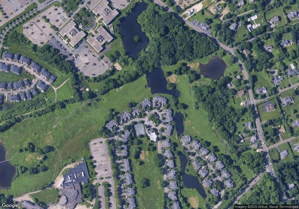
Map
Nearby Homes
- 125 Bowman Dr
- 1 Primrose Ln
- 107 Stonehedge Dr N
- 36 Country Ridge Dr
- 8 Chieftans Rd
- 5 Bristol Ln
- 53 Shady Ln
- 31 Duncan Dr
- 332 Riversville Rd
- 7 Curt Terrace
- 28 Thunder Mountain Rd
- 189 Riversville Rd
- 40 Thunder Mountain Rd
- 105 Glenville St
- 120 Brush Hollow Crescent
- 21 Lincoln Ln
- 40 Ettl Ln Unit 17
- 161 Pecksland Rd
- 45 Ettl Ln Unit 205
- 37 Greenway Ln
- 41 Arrowwood Cir
- 43 Arrowwood Cir
- 45 Arrowwood Cir
- 35 Arrowwood Cir Unit 133
- 47 Arrowwood Cir
- 49 Arrowwood Cir
- 37 Arrowwood Cir
- 33 Arrowwood Cir
- 35 Doral Greens Dr W
- 31 Arrowwood Cir
- 27 Arrowwood Cir Unit 134
- 37 Doral Greens Dr W
- 37 Doral Greens West Dr W
- 29 Arrowwood Cir
- 41 Doral Greens Dr W Unit 228
- 25 Arrowwood Cir
- 39 Doral Greens Dr W Unit 128
- 23 Arrowwood Cir
- 21 Arrowwood Cir
- 43 Doral Greens Dr W
Your Personal Tour Guide
Ask me questions while you tour the home.