39 Avery Rd Constantia, NY 13044
Estimated Value: $282,000 - $351,000
4
Beds
3
Baths
2,056
Sq Ft
$160/Sq Ft
Est. Value
About This Home
This home is located at 39 Avery Rd, Constantia, NY 13044 and is currently estimated at $329,796, approximately $160 per square foot. 39 Avery Rd is a home located in Oswego County with nearby schools including Paul V. Moore High School.
Ownership History
Date
Name
Owned For
Owner Type
Purchase Details
Closed on
Mar 18, 2011
Sold by
Jeffries John
Bought by
Riesterer Kristina M and Riesterer Eric F
Current Estimated Value
Home Financials for this Owner
Home Financials are based on the most recent Mortgage that was taken out on this home.
Original Mortgage
$145,222
Outstanding Balance
$101,088
Interest Rate
5.07%
Mortgage Type
FHA
Estimated Equity
$228,708
Purchase Details
Closed on
Aug 21, 2009
Sold by
Jeffries John
Bought by
Green Lake Associates Llc
Purchase Details
Closed on
Jul 16, 2009
Sold by
Deutsche Bank National Trust Company
Bought by
Jefferies John
Purchase Details
Closed on
Feb 7, 2006
Sold by
Flohn John M and Flohn Gail M
Bought by
Mora Richard D and Mora Tina M
Home Financials for this Owner
Home Financials are based on the most recent Mortgage that was taken out on this home.
Original Mortgage
$100,000
Interest Rate
8.52%
Mortgage Type
Fannie Mae Freddie Mac
Create a Home Valuation Report for This Property
The Home Valuation Report is an in-depth analysis detailing your home's value as well as a comparison with similar homes in the area
Home Values in the Area
Average Home Value in this Area
Purchase History
| Date | Buyer | Sale Price | Title Company |
|---|---|---|---|
| Riesterer Kristina M | $149,000 | None Available | |
| Green Lake Associates Llc | -- | None Available | |
| Jefferies John | $104,000 | None Available | |
| Mora Richard D | $159,000 | None Available |
Source: Public Records
Mortgage History
| Date | Status | Borrower | Loan Amount |
|---|---|---|---|
| Open | Riesterer Kristina M | $145,222 | |
| Previous Owner | Mora Richard D | $100,000 |
Source: Public Records
Tax History
| Year | Tax Paid | Tax Assessment Tax Assessment Total Assessment is a certain percentage of the fair market value that is determined by local assessors to be the total taxable value of land and additions on the property. | Land | Improvement |
|---|---|---|---|---|
| 2024 | $6,448 | $149,000 | $17,400 | $131,600 |
| 2023 | $6,311 | $149,000 | $17,400 | $131,600 |
| 2022 | $5,818 | $149,000 | $17,400 | $131,600 |
| 2021 | $5,680 | $149,000 | $17,400 | $131,600 |
| 2020 | $5,189 | $149,000 | $17,400 | $131,600 |
| 2019 | $5,100 | $149,000 | $17,400 | $131,600 |
| 2018 | $5,100 | $149,000 | $17,400 | $131,600 |
| 2017 | $4,834 | $149,000 | $17,400 | $131,600 |
| 2016 | $4,859 | $149,000 | $17,400 | $131,600 |
| 2015 | -- | $149,000 | $17,400 | $131,600 |
| 2014 | -- | $149,000 | $17,400 | $131,600 |
Source: Public Records
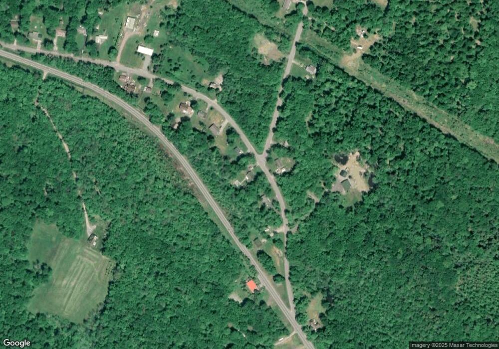
Map
Nearby Homes
- 94 Avery Rd
- 356 Lower Rd
- 31 Cemetary Rd
- 14 Parker Rd
- 160 County Route 23
- 14 1st Ave
- 123 Knapp Rd
- 0 Tannery Rd
- 6 County Route 23
- 0 County Route 23 Unit LotWP001
- 0 County Route 23
- 3 Kibbie Lake Rd
- 388 County Route 11
- 19 Whig Hill Rd
- 0 Slosson Rd
- 143 Toad Harbor Rd
- 482 County Route 11
- Slosson Rd
- 229 County Route 23a
- 1079 State Route 49 Unit 81
Your Personal Tour Guide
Ask me questions while you tour the home.