39 Bakers Corner Rd Marlow, NH 03456
Estimated Value: $397,000 - $434,869
3
Beds
3
Baths
1,596
Sq Ft
$259/Sq Ft
Est. Value
About This Home
This home is located at 39 Bakers Corner Rd, Marlow, NH 03456 and is currently estimated at $413,717, approximately $259 per square foot. 39 Bakers Corner Rd is a home with nearby schools including Candor Elementary School, Mayland Early College High School, and Keene High School.
Ownership History
Date
Name
Owned For
Owner Type
Purchase Details
Closed on
Aug 19, 2022
Sold by
Dallas Clifford B and Dallas Ann M
Bought by
Wilson Tobie and Wilson Nicole
Current Estimated Value
Home Financials for this Owner
Home Financials are based on the most recent Mortgage that was taken out on this home.
Original Mortgage
$311,355
Outstanding Balance
$297,167
Interest Rate
5.3%
Mortgage Type
FHA
Estimated Equity
$116,550
Create a Home Valuation Report for This Property
The Home Valuation Report is an in-depth analysis detailing your home's value as well as a comparison with similar homes in the area
Home Values in the Area
Average Home Value in this Area
Purchase History
| Date | Buyer | Sale Price | Title Company |
|---|---|---|---|
| Wilson Tobie | $340,000 | None Available |
Source: Public Records
Mortgage History
| Date | Status | Borrower | Loan Amount |
|---|---|---|---|
| Open | Wilson Tobie | $311,355 |
Source: Public Records
Tax History Compared to Growth
Tax History
| Year | Tax Paid | Tax Assessment Tax Assessment Total Assessment is a certain percentage of the fair market value that is determined by local assessors to be the total taxable value of land and additions on the property. | Land | Improvement |
|---|---|---|---|---|
| 2024 | $6,196 | $199,860 | $65,400 | $134,460 |
| 2023 | $5,760 | $199,860 | $65,400 | $134,460 |
| 2022 | $5,162 | $199,860 | $65,400 | $134,460 |
| 2021 | $4,939 | $199,860 | $65,400 | $134,460 |
| 2020 | $5,938 | $199,860 | $65,400 | $134,460 |
| 2019 | $5,614 | $175,870 | $51,200 | $124,670 |
| 2018 | $4,358 | $171,370 | $49,400 | $121,970 |
| 2016 | $3,765 | $171,370 | $49,400 | $121,970 |
| 2015 | $4,385 | $171,370 | $49,400 | $121,970 |
| 2014 | $4,249 | $170,430 | $51,500 | $118,930 |
| 2009 | $3,860 | $179,970 | $70,030 | $109,940 |
Source: Public Records
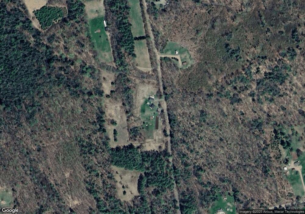
Map
Nearby Homes
- 178 North Rd
- 27 Shadowland Rd
- 32 Blueberry Hill Ln
- 172 Nh-Rte 123 Route
- 0 Washington Pond Rd Unit 113
- 6 Mill St
- 1076 Nh Route 123a
- 00 Alstead Center Rd
- 67 Lang Rd
- 473 Pratt Rd
- 264 Olds Rd
- 0 Olds Rd
- 16 Vilas Rd
- 16 Nash Corner Rd
- 335 Coolidge Dr
- 0 Adams Dr
- 286 Presidential Dr
- 94 Cold Pond Rd
- 55 Sunset Cir
- 563 Holden Hill Rd
- 66 Bakers Corner Rd
- 192 Newell Pond Rd Unit 407-29
- 192 Newell Pond Rd
- 59 Bakers Corner Rd
- 90 Bakers Corner Rd
- 124 Newell Pond Rd
- 91 Bakers Corner Rd
- 8 and 8A Newell Pond Rd
- 8A Newell Pond Rd
- 8 Newell Pond Rd
- 109 Newell Pond Rd
- 0 Newell Pond Rd
- 92 Newell Pond Rd
- 119 Newell Pond Rd
- 0 Newell Pond Unit 4711686
- 0 Newell Pond Unit 4859938
- 0 Newell Pond Unit 2781830
- 0 Newell Pond Unit 4501884
- 0 Newell Pond Unit 4395063
- 0 Newell Pond Unit 2746558