39 Bates Grove Rd Unit 1 Webster, MA 01570
Estimated Value: $1,197,000 - $1,657,756
5
Beds
2
Baths
1,720
Sq Ft
$827/Sq Ft
Est. Value
About This Home
This home is located at 39 Bates Grove Rd Unit 1, Webster, MA 01570 and is currently estimated at $1,421,585, approximately $826 per square foot. 39 Bates Grove Rd Unit 1 is a home located in Worcester County with nearby schools including Park Avenue Elementary School, Webster Middle School, and Bartlett High School.
Ownership History
Date
Name
Owned For
Owner Type
Purchase Details
Closed on
Sep 17, 2020
Sold by
Dupont Kujawski R
Bought by
Renee Dupont-Kujawski T
Current Estimated Value
Purchase Details
Closed on
May 4, 2011
Sold by
Dupont Emile N Est
Bought by
Dupont-Kujawski Renee
Create a Home Valuation Report for This Property
The Home Valuation Report is an in-depth analysis detailing your home's value as well as a comparison with similar homes in the area
Home Values in the Area
Average Home Value in this Area
Purchase History
| Date | Buyer | Sale Price | Title Company |
|---|---|---|---|
| Renee Dupont-Kujawski T | -- | None Available | |
| Dupont-Kujawski Renee | $425,000 | -- |
Source: Public Records
Tax History Compared to Growth
Tax History
| Year | Tax Paid | Tax Assessment Tax Assessment Total Assessment is a certain percentage of the fair market value that is determined by local assessors to be the total taxable value of land and additions on the property. | Land | Improvement |
|---|---|---|---|---|
| 2025 | $17,704 | $1,490,200 | $474,200 | $1,016,000 |
| 2024 | $17,062 | $1,400,800 | $412,700 | $988,100 |
| 2023 | $15,875 | $1,270,000 | $392,900 | $877,100 |
| 2022 | $15,512 | $1,111,200 | $349,400 | $761,800 |
| 2021 | $15,357 | $1,017,000 | $349,400 | $667,600 |
| 2020 | $15,593 | $1,035,400 | $349,400 | $686,000 |
| 2019 | $15,897 | $1,037,000 | $349,400 | $687,600 |
| 2018 | $13,098 | $851,100 | $349,400 | $501,700 |
| 2017 | $8,951 | $591,600 | $354,000 | $237,600 |
| 2016 | $4,613 | $304,700 | $289,600 | $15,100 |
| 2015 | $5,449 | $371,200 | $283,900 | $87,300 |
Source: Public Records
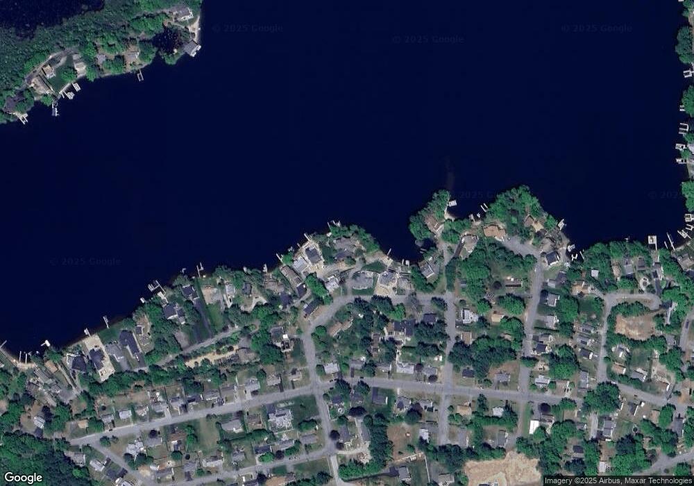
Map
Nearby Homes
- 1 Ernest St
- 14 Colonial Rd
- 38 Colonial Rd
- 42 Colonial Rd
- 13 S Point Rd
- 26 Wakefield Ave
- 15 Oakwood Dr
- 6 Henry Rd
- 24 Cooper Rd
- 215 Sand Dam Rd
- 9 Scenic Ave
- 169 Upper Gore Rd
- 114 Upper Gore Rd
- 171 Upper Gore Rd
- 0 Sunnyside Dr
- 0 Thompson Rd
- 57 Upper Gore Rd
- 17 Liberty Ln
- 303 Treasure Island Rd
- 194 Killdeer Rd