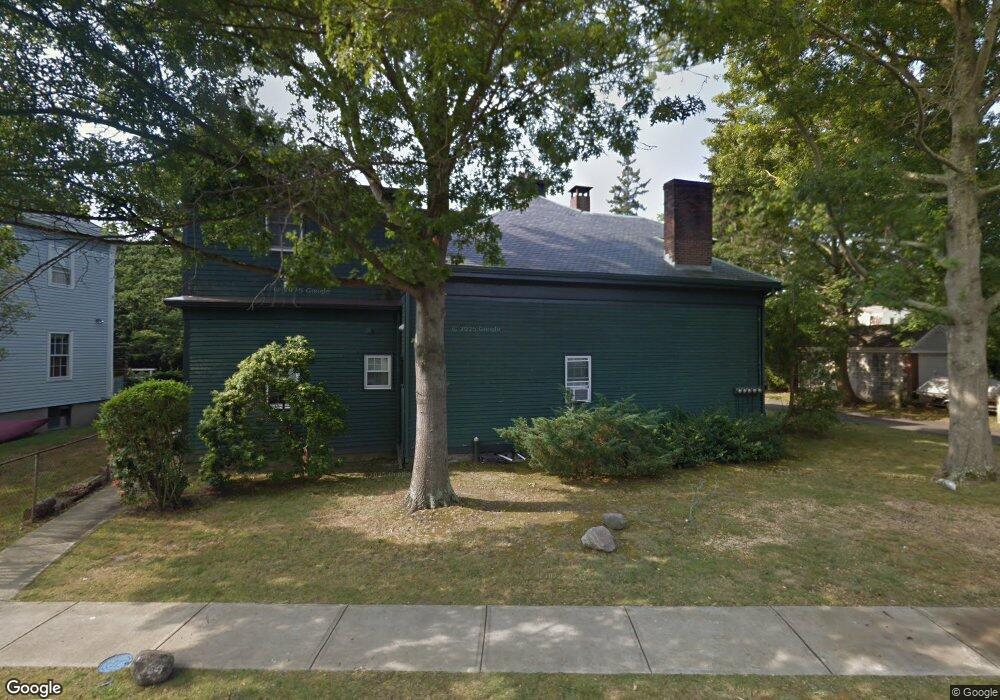
39 Berkeley Ave Unit 1 Newport, RI 02840
Memorial Boulevard NeighborhoodEstimated Value: $643,000 - $839,000
3
Beds
2
Baths
1,180
Sq Ft
$618/Sq Ft
Est. Value
About This Home
This home is located at 39 Berkeley Ave Unit 1, Newport, RI 02840 and is currently estimated at $729,027, approximately $617 per square foot. 39 Berkeley Ave Unit 1 is a home located in Newport County with nearby schools including Rogers High School, St Michael's Country Day School, and St George's School.
Ownership History
Date
Name
Owned For
Owner Type
Purchase Details
Closed on
Jun 18, 1997
Sold by
Baird Terry Kynn
Bought by
Kapnick Eleanor
Current Estimated Value
Home Financials for this Owner
Home Financials are based on the most recent Mortgage that was taken out on this home.
Original Mortgage
$30,000
Outstanding Balance
$4,252
Interest Rate
7.87%
Estimated Equity
$724,775
Create a Home Valuation Report for This Property
The Home Valuation Report is an in-depth analysis detailing your home's value as well as a comparison with similar homes in the area
Home Values in the Area
Average Home Value in this Area
Purchase History
| Date | Buyer | Sale Price | Title Company |
|---|---|---|---|
| Kapnick Eleanor | $95,500 | -- |
Source: Public Records
Mortgage History
| Date | Status | Borrower | Loan Amount |
|---|---|---|---|
| Open | Kapnick Eleanor | $30,000 |
Source: Public Records
Tax History Compared to Growth
Tax History
| Year | Tax Paid | Tax Assessment Tax Assessment Total Assessment is a certain percentage of the fair market value that is determined by local assessors to be the total taxable value of land and additions on the property. | Land | Improvement |
|---|---|---|---|---|
| 2025 | $4,968 | $571,800 | $0 | $571,800 |
| 2024 | $3,985 | $571,800 | $0 | $571,800 |
| 2023 | $3,764 | $379,400 | $0 | $379,400 |
| 2022 | $3,646 | $379,400 | $0 | $379,400 |
| 2021 | $3,540 | $379,400 | $0 | $379,400 |
| 2020 | $3,384 | $329,200 | $0 | $329,200 |
| 2019 | $3,384 | $329,200 | $0 | $329,200 |
| 2018 | $3,289 | $329,200 | $0 | $329,200 |
| 2017 | $3,205 | $285,900 | $0 | $285,900 |
| 2016 | $3,125 | $285,900 | $0 | $285,900 |
| 2015 | $3,051 | $285,900 | $0 | $285,900 |
| 2014 | $3,165 | $262,400 | $0 | $262,400 |
Source: Public Records
Map
Nearby Homes
- 21 Slocum St
- 20 Berkeley Ave Unit 2
- 5 Lowndes St
- 26 Freebody St
- 10 Ocean Lawn Ln
- 2 Perry St
- 27 Dean Ave
- 66 Webster St Unit 9
- 7 Red Cross Ave
- 24 Old Beach Rd
- 4 Red Cross Ave Unit 4
- 30 Brewer St Unit 3
- 6 Sharon Ct
- 5 Lee's Wharf
- 5 Lee's
- 75 Pelham St Unit B
- 24 Brown and Howard Wharf Unit 301
- 26 Franklin St
- 50 School St Unit 7
- 39 Connection St
- 39 Berkeley Ave Unit 2
- 39 Berkeley Ave Unit 3
- 39 Berkeley Ave
- 39 Berkeley Ave Unit 4
- 39 Berkeley Ave Unit Ct
- 39 Berkeley Ave Unit A
- 12 Sylvan Terrace
- 41 Berkeley Ave
- 14 Sylvan Terrace
- 10 Horseman Terrace
- 8 Sylvan Terrace
- 8 Horseman Terrace Unit 10
- 18 Sylvan Terrace
- 77 Middleton Ave
- 6 Sylvan Terrace
- 75 Middleton Ave
- 9 Horseman Terrace
- 35 Berkeley Ave Unit 37
- 81 Middleton Ave
- 9 Sylvan Terrace