39 Briar Hill Rd Bristol, NH 03222
Estimated Value: $513,965 - $633,000
5
Beds
3
Baths
3,201
Sq Ft
$175/Sq Ft
Est. Value
About This Home
This home is located at 39 Briar Hill Rd, Bristol, NH 03222 and is currently estimated at $561,241, approximately $175 per square foot. 39 Briar Hill Rd is a home located in Grafton County with nearby schools including Bristol Elementary School and New Hampton School.
Ownership History
Date
Name
Owned For
Owner Type
Purchase Details
Closed on
Apr 13, 2010
Sold by
Tsiopras George P and Tsiopras Panagiotis
Bought by
Sellers John M and Sellers Donna L
Current Estimated Value
Home Financials for this Owner
Home Financials are based on the most recent Mortgage that was taken out on this home.
Original Mortgage
$286,020
Interest Rate
5.12%
Mortgage Type
Purchase Money Mortgage
Create a Home Valuation Report for This Property
The Home Valuation Report is an in-depth analysis detailing your home's value as well as a comparison with similar homes in the area
Home Values in the Area
Average Home Value in this Area
Purchase History
| Date | Buyer | Sale Price | Title Company |
|---|---|---|---|
| Sellers John M | $280,000 | -- |
Source: Public Records
Mortgage History
| Date | Status | Borrower | Loan Amount |
|---|---|---|---|
| Open | Sellers John M | $284,771 | |
| Closed | Sellers John M | $285,870 | |
| Closed | Sellers John M | $286,020 | |
| Previous Owner | Sellers John M | $208,000 |
Source: Public Records
Tax History
| Year | Tax Paid | Tax Assessment Tax Assessment Total Assessment is a certain percentage of the fair market value that is determined by local assessors to be the total taxable value of land and additions on the property. | Land | Improvement |
|---|---|---|---|---|
| 2025 | $7,392 | $561,700 | $181,500 | $380,200 |
| 2024 | $7,185 | $304,200 | $92,100 | $212,100 |
| 2023 | $6,921 | $304,200 | $92,100 | $212,100 |
| 2022 | $6,385 | $304,200 | $92,100 | $212,100 |
| 2021 | $6,148 | $304,200 | $92,100 | $212,100 |
| 2020 | $6,294 | $304,200 | $92,100 | $212,100 |
| 2019 | $6,916 | $249,900 | $61,600 | $188,300 |
| 2018 | $6,417 | $249,900 | $61,600 | $188,300 |
| 2017 | $5,530 | $249,900 | $61,600 | $188,300 |
| 2016 | $5,153 | $249,900 | $61,600 | $188,300 |
| 2015 | $5,345 | $265,500 | $66,300 | $199,200 |
| 2014 | $5,345 | $265,500 | $66,300 | $199,200 |
| 2013 | $5,313 | $263,300 | $66,300 | $197,000 |
Source: Public Records
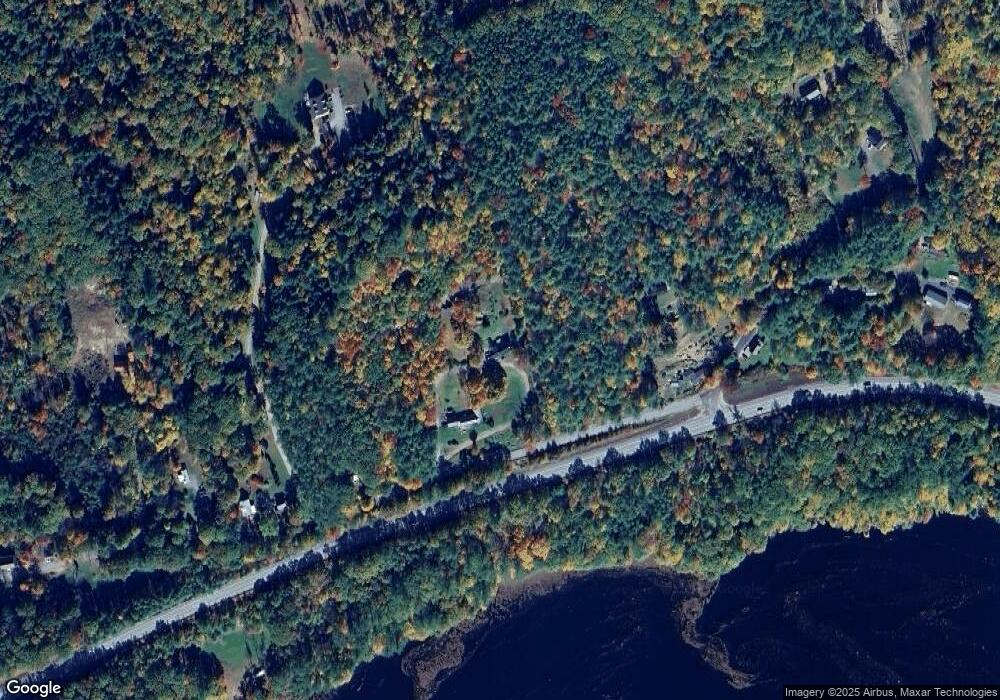
Map
Nearby Homes
- 00 Peaked Hill Rd Unit 7.1, 7.2, 7.3, 7.4,
- 66 Summer St
- 43 Elm St
- 75 Lakewood Pines Rd Unit 20
- 30 Beech St Unit 3D
- 30 Beech St Unit 4C
- 333 Lake St
- 45 4th St
- 94 Mandi Ln
- 00 Borough Rd Unit 1,2
- 571 New Hampshire 104
- 82 Jenness Hill Rd
- 200 Walker Rd
- 114 Ledgewood Terrace
- R3 Lot 30 Gordon Hill Rd
- 862 Mayhew Turnpike Unit 16
- 862 Mayhew Turnpike Unit 13
- 63 Mansfield Woods Way
- 21 Mansfield Woods Way
- 21 Village West Dr Unit 14
- 18 Briar Hill Rd
- 331 Danforth Brook Rd
- 25 Peaked Hill Rd
- 1 Peaked Hill Rd
- 1 Peaked Hill
- 4 Peaked Hill Rd
- 50 Dolloff Rd
- 30 Peaked Hill Rd
- 301 Danforth Brook Rd
- 281 Danforth Brook Rd
- 317 Danforth Brook Rd
- 265 Danforth Brook Rd
- 60 Peaked Hill Rd
- 141 Peaked Hill Rd
- 101 Peaked Hill Rd
- 70 Peaked Hill Rd
- 195 Peaked Hill Rd
- 82 Peaked Hill Rd
- 175 Peaked Hill Rd
- 225 Danforth Brook Rd
Your Personal Tour Guide
Ask me questions while you tour the home.