39 Camp Rd Sturbridge, MA 01518
Estimated Value: $181,876 - $478,000
1
Bed
2
Baths
420
Sq Ft
$826/Sq Ft
Est. Value
About This Home
This home is located at 39 Camp Rd, Sturbridge, MA 01518 and is currently estimated at $346,969, approximately $826 per square foot. 39 Camp Rd is a home located in Worcester County with nearby schools including Burgess Elementary School, Tantasqua Regional Junior High School, and Tantasqua Regional High School.
Create a Home Valuation Report for This Property
The Home Valuation Report is an in-depth analysis detailing your home's value as well as a comparison with similar homes in the area
Home Values in the Area
Average Home Value in this Area
Tax History
| Year | Tax Paid | Tax Assessment Tax Assessment Total Assessment is a certain percentage of the fair market value that is determined by local assessors to be the total taxable value of land and additions on the property. | Land | Improvement |
|---|---|---|---|---|
| 2025 | $1,435 | $90,100 | $55,200 | $34,900 |
| 2024 | $1,416 | $85,900 | $54,200 | $31,700 |
| 2023 | $1,350 | $74,700 | $47,100 | $27,600 |
| 2022 | $1,298 | $67,800 | $42,800 | $25,000 |
| 2021 | $1,204 | $63,300 | $40,700 | $22,600 |
| 2020 | $1,204 | $63,300 | $40,700 | $22,600 |
| 2019 | $1,205 | $62,900 | $42,000 | $20,900 |
| 2018 | $1,174 | $60,400 | $40,000 | $20,400 |
| 2017 | $1,125 | $58,000 | $38,500 | $19,500 |
| 2016 | $1,080 | $56,200 | $37,300 | $18,900 |
| 2015 | $1,070 | $55,600 | $37,300 | $18,300 |
Source: Public Records
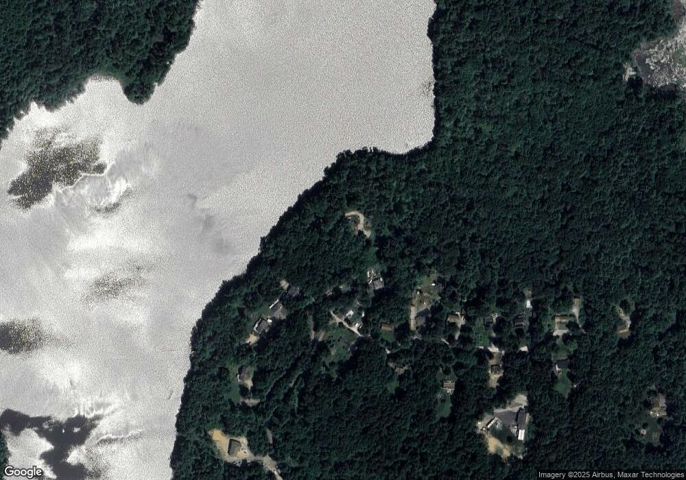
Map
Nearby Homes
- 537 Main St
- 5 Hinman St Unit 4
- 87 Holland Rd
- 504 Main St
- 19 Arnold Rd
- 0 Five Bridge Rd
- 7 Crescent Way Unit 105
- 7 Crescent Way Unit 315
- 26 Cedar Lake Dr
- 46 Westwood Dr
- 121 & lt12 Sturbridge Rd
- 365 Main St Unit 3
- 43 Mountain Brook Rd
- 285 Brookfield Rd
- 73 New Boston Rd
- 266 Holland Rd
- 19 Preserve Way
- 9 Haynes St
- 58 Shattuck Rd
- Lot B-6 River Rd
Your Personal Tour Guide
Ask me questions while you tour the home.