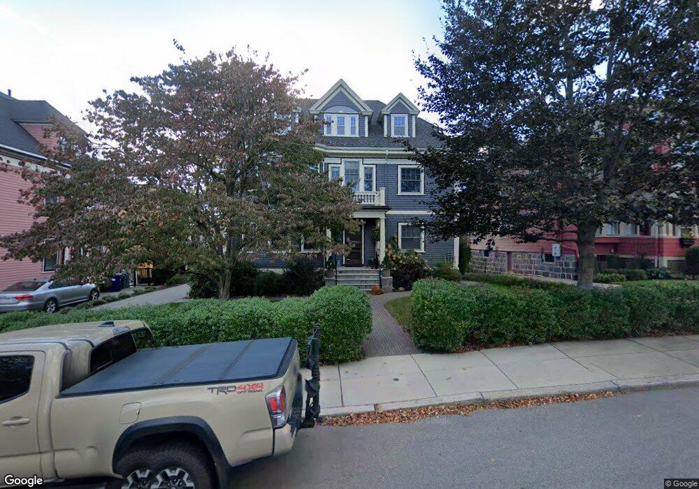
39 Carruth St Dorchester Center, MA 02124
Ashmont NeighborhoodEstimated Value: $1,270,000 - $1,590,353
6
Beds
3
Baths
3,684
Sq Ft
$374/Sq Ft
Est. Value
About This Home
This home is located at 39 Carruth St, Dorchester Center, MA 02124 and is currently estimated at $1,377,088, approximately $373 per square foot. 39 Carruth St is a home located in Suffolk County with nearby schools including Codman Academy Charter Public School, Conservatory Lab Upper School, and St Brendan School.
Ownership History
Date
Name
Owned For
Owner Type
Purchase Details
Closed on
Dec 1, 1999
Sold by
Pappas Voula G
Bought by
Richard William A and Richard Denise K
Current Estimated Value
Create a Home Valuation Report for This Property
The Home Valuation Report is an in-depth analysis detailing your home's value as well as a comparison with similar homes in the area
Home Values in the Area
Average Home Value in this Area
Purchase History
| Date | Buyer | Sale Price | Title Company |
|---|---|---|---|
| Richard William A | $258,750 | -- |
Source: Public Records
Mortgage History
| Date | Status | Borrower | Loan Amount |
|---|---|---|---|
| Open | Richard William A | $331,000 | |
| Closed | Richard William A | $285,000 | |
| Closed | Richard William A | $285,000 |
Source: Public Records
Tax History Compared to Growth
Tax History
| Year | Tax Paid | Tax Assessment Tax Assessment Total Assessment is a certain percentage of the fair market value that is determined by local assessors to be the total taxable value of land and additions on the property. | Land | Improvement |
|---|---|---|---|---|
| 2025 | $15,448 | $1,334,000 | $387,800 | $946,200 |
| 2024 | $14,575 | $1,337,200 | $317,900 | $1,019,300 |
| 2023 | $13,546 | $1,261,300 | $299,900 | $961,400 |
| 2022 | $12,584 | $1,156,600 | $275,000 | $881,600 |
| 2021 | $11,753 | $1,101,500 | $261,900 | $839,600 |
| 2020 | $9,965 | $943,700 | $253,800 | $689,900 |
| 2019 | $9,213 | $874,100 | $207,100 | $667,000 |
| 2018 | $8,640 | $824,400 | $207,100 | $617,300 |
| 2017 | $8,235 | $777,600 | $207,100 | $570,500 |
| 2016 | $7,920 | $720,000 | $207,100 | $512,900 |
| 2015 | $6,918 | $571,300 | $151,100 | $420,200 |
| 2014 | $7,067 | $561,800 | $151,100 | $410,700 |
Source: Public Records
Map
Nearby Homes
- 1910 Dorchester Ave Unit 617
- 1910 Dorchester Ave Unit 601
- 251 Minot St Unit 6
- 40 Westmoreland St Unit 8
- 37 Westmoreland St
- 9-11 Adanac Terrace
- 84 Bailey St
- 77 Bailey St
- 33 Westmoreland St
- 80 Beaumont St Unit 101
- 859 Adams St Unit 859
- 37 Rangeley St
- 885-887 Adams St Unit 1
- 72 Bailey St
- 37 Msgr Patrick j Lydon Way
- 45 Msgr Patrick j Lydon Way
- 58 Bailey St
- 701 Adams St Unit 9
- 54 Msgr Patrick j Lydon Way
- 114 Wrentham St Unit 1
- 35 Carruth St Unit 37
- 41 Carruth St
- 41 Carruth St Unit 1
- 41 Carruth St Unit 3
- 84 Van Winkle St
- 84 Van Winkle St Unit 3
- 84 Van Winkle St Unit 2
- 84 Van Winkle St Unit 1
- 80 Van Winkle St
- 33 Carruth St
- 10 Radford Ln
- 1 Fairfax St
- 74 Van Winkle St
- 43 Carruth St
- 43 Carruth St Unit 1
- 00 Radford Ln Unit 1
- 00 Radford Ln
- 40 Carruth St
- 16 Radford Ln
- 34 Carruth St