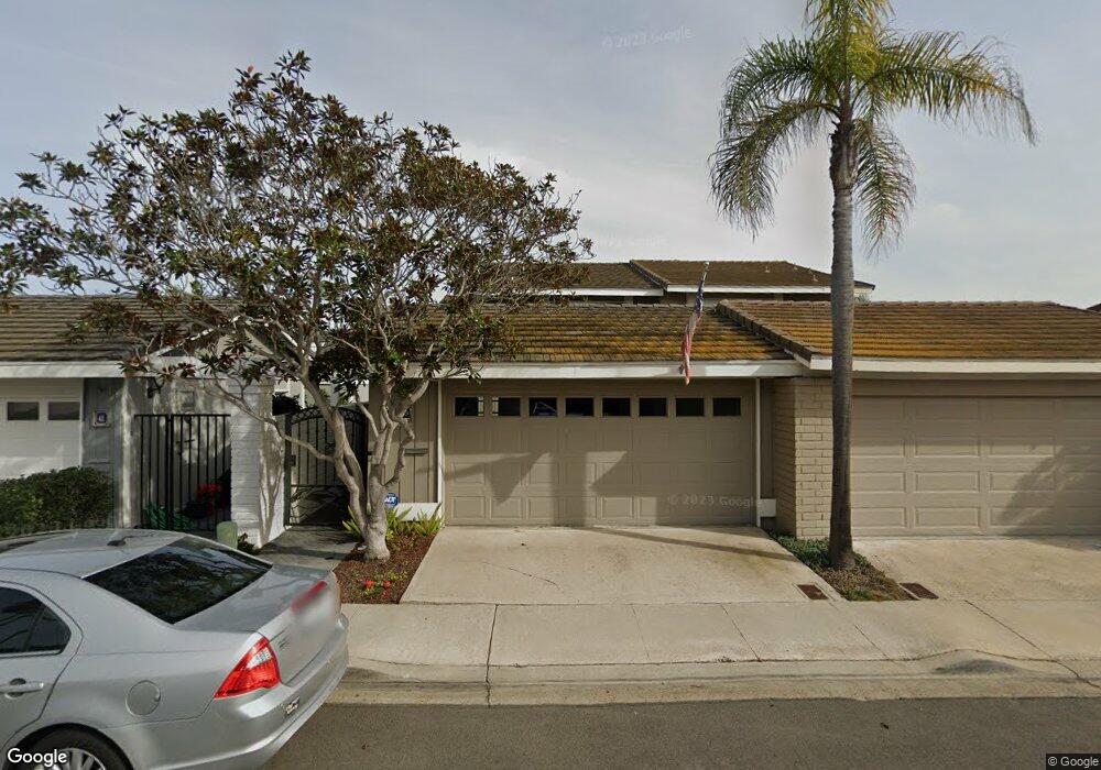
39 Catspaw Cape Coronado, CA 92118
Silver Strand NeighborhoodEstimated Value: $2,251,219 - $2,693,000
3
Beds
4
Baths
2,150
Sq Ft
$1,165/Sq Ft
Est. Value
About This Home
This home is located at 39 Catspaw Cape, Coronado, CA 92118 and is currently estimated at $2,505,805, approximately $1,165 per square foot. 39 Catspaw Cape is a home located in San Diego County with nearby schools including Silver Strand Elementary School, Coronado Middle School, and Coronado High School.
Ownership History
Date
Name
Owned For
Owner Type
Purchase Details
Closed on
Apr 16, 2007
Sold by
Testa Robert
Bought by
Jones Ronald L and Jones Gwendolyn D
Current Estimated Value
Purchase Details
Closed on
Jun 22, 1999
Sold by
Levine Willard Tr
Bought by
Levine Willard
Home Financials for this Owner
Home Financials are based on the most recent Mortgage that was taken out on this home.
Original Mortgage
$400,000
Interest Rate
7.05%
Mortgage Type
Credit Line Revolving
Purchase Details
Closed on
Feb 26, 1987
Create a Home Valuation Report for This Property
The Home Valuation Report is an in-depth analysis detailing your home's value as well as a comparison with similar homes in the area
Home Values in the Area
Average Home Value in this Area
Purchase History
| Date | Buyer | Sale Price | Title Company |
|---|---|---|---|
| Jones Ronald L | $1,382,000 | Chicago Title Co | |
| Levine Willard | -- | Stewart Title | |
| -- | $347,500 | -- |
Source: Public Records
Mortgage History
| Date | Status | Borrower | Loan Amount |
|---|---|---|---|
| Previous Owner | Levine Willard | $400,000 |
Source: Public Records
Tax History
| Year | Tax Paid | Tax Assessment Tax Assessment Total Assessment is a certain percentage of the fair market value that is determined by local assessors to be the total taxable value of land and additions on the property. | Land | Improvement |
|---|---|---|---|---|
| 2025 | $20,528 | $1,933,597 | $1,112,019 | $821,578 |
| 2024 | $20,528 | $1,895,684 | $1,090,215 | $805,469 |
| 2023 | $20,200 | $1,858,515 | $1,068,839 | $789,676 |
| 2022 | $17,480 | $1,600,000 | $909,000 | $691,000 |
| 2021 | $15,968 | $1,450,000 | $824,000 | $626,000 |
| 2020 | $15,419 | $1,425,000 | $810,000 | $615,000 |
| 2019 | $14,872 | $1,350,000 | $810,000 | $540,000 |
| 2018 | $14,371 | $1,300,000 | $780,000 | $520,000 |
| 2017 | $14,374 | $1,300,000 | $780,000 | $520,000 |
| 2016 | $14,195 | $1,300,000 | $781,000 | $519,000 |
| 2015 | $11,806 | $1,075,000 | $646,000 | $429,000 |
| 2014 | $11,732 | $1,075,000 | $646,000 | $429,000 |
Source: Public Records
Map
Nearby Homes
- 38 Antigua Ct
- 10 Antigua Ct
- 6 Kingston Ct E
- 94 Kingston Ct W
- 86 Half Moon Bend
- 25 The Point
- 22 Montego Ct
- 46 Montego Ct
- 50 Montego Ct
- 1 The Point
- 12 Buccaneer Way
- 5 Bridgetown Bend
- 35 Buccaneer Way
- 46 Spinnaker Way
- 48 Spinnaker Way
- 55 Spinnaker Way
- 57 Tunapuna Ln
- 416 Colorado Ave Unit D
- 731 G St Unit SPC E10
- 708 H St Unit 31
- 41 Catspaw Cape
- 37 Catspaw Cape
- 43 Catspaw Cape
- 35 Catspaw Cape
- 33 Catspaw Cape
- 31 Catspaw Cape
- 29 Catspaw Cape
- 14 Catspaw Cape
- 16 Catspaw Cape
- 12 Catspaw Cape
- 18 Catspaw Cape
- 27 Catspaw Cape
- 10 Catspaw Cape
- 25 Catspaw Cape
- 45 Catspaw Cape
- 20 Catspaw Cape
- 23 Catspaw Cape
- 1 Bahama Bend
- 47 Catspaw Cape
- 8 Catspaw Cape
Your Personal Tour Guide
Ask me questions while you tour the home.