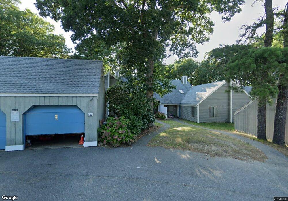
39 Cherrywood Ln Brewster, MA 02631
Estimated Value: $488,133 - $896,000
3
Beds
2
Baths
1,519
Sq Ft
$400/Sq Ft
Est. Value
About This Home
This home is located at 39 Cherrywood Ln, Brewster, MA 02631 and is currently estimated at $607,783, approximately $400 per square foot. 39 Cherrywood Ln is a home located in Barnstable County with nearby schools including Stony Brook Elementary School, Eddy Elementary School, and Nauset Regional Middle School.
Ownership History
Date
Name
Owned For
Owner Type
Purchase Details
Closed on
Oct 13, 2016
Sold by
Vernon Jacqueline M and Vernon James E
Bought by
James E & J M Vernon Ret
Current Estimated Value
Purchase Details
Closed on
Aug 9, 2005
Sold by
Caddick Doreen M and Caddick Ronald P
Bought by
Taylor Andrew L
Purchase Details
Closed on
Sep 10, 2004
Sold by
Haley Ent Inc
Bought by
Serlin Lisa M
Purchase Details
Closed on
Jul 9, 2004
Sold by
Brewster Assoc Inc
Bought by
Siegelaub Arlyn
Purchase Details
Closed on
Jun 14, 2004
Sold by
Stephenson Eve P and Stephenson Kevin
Bought by
Smith Erin P
Create a Home Valuation Report for This Property
The Home Valuation Report is an in-depth analysis detailing your home's value as well as a comparison with similar homes in the area
Home Values in the Area
Average Home Value in this Area
Purchase History
| Date | Buyer | Sale Price | Title Company |
|---|---|---|---|
| James E & J M Vernon Ret | -- | -- | |
| Taylor Andrew L | $7,200 | -- | |
| Serlin Lisa M | $2,500 | -- | |
| Siegelaub Arlyn | $7,105 | -- | |
| Smith Erin P | $3,500 | -- |
Source: Public Records
Tax History Compared to Growth
Tax History
| Year | Tax Paid | Tax Assessment Tax Assessment Total Assessment is a certain percentage of the fair market value that is determined by local assessors to be the total taxable value of land and additions on the property. | Land | Improvement |
|---|---|---|---|---|
| 2025 | $2,734 | $397,400 | $0 | $397,400 |
| 2024 | $2,556 | $375,400 | $0 | $375,400 |
| 2023 | $2,377 | $340,100 | $0 | $340,100 |
| 2022 | $2,151 | $274,000 | $0 | $274,000 |
| 2021 | $2,144 | $249,900 | $0 | $249,900 |
| 2020 | $2,116 | $245,500 | $0 | $245,500 |
| 2019 | $2,051 | $239,000 | $0 | $239,000 |
| 2018 | $1,883 | $228,000 | $0 | $228,000 |
| 2017 | $1,811 | $215,900 | $0 | $215,900 |
| 2016 | $1,786 | $211,900 | $0 | $211,900 |
| 2015 | $1,709 | $206,900 | $0 | $206,900 |
Source: Public Records
Map
Nearby Homes
- 60 Fletcher Ln Unit H
- 60 Fletcher Ln Unit C
- 61 Fletcher Ln Unit H
- 62 Fletcher Ln Unit N
- 81 Fletcher Ln Unit I
- 81 Fletcher Ln Unit C
- 80 Fletcher Ln Unit E
- 6 Trevor Ln Unit 6
- 6 Trevor Ln Unit 6
- 82 Fletcher Ln Unit I
- 100 Fletcher Ln Unit E
- 105 Middlecott Ln Unit 105
- 277 Lund Farm Way
- 82 Middlecott Ln
- 28 Middlecott Ln
- 38 Eaton Ln Unit 38
- 104 Howland Cir Unit 104
- 137 Eaton Ln
- 46 Court Way
- 88 Eaton Ln Unit 88
- 43 Cherrywood Ln
- 41 Cherrywood Ln
- 37 Cherrywood Ln
- 47 Cherrywood Ln
- 45 Cherrywood Ln
- 35 Cherrywood Ln
- 33 Cherrywood Ln
- 51 Cherrywood Ln
- 31 Cherrywood Ln
- 29 Cherrywood Ln
- 27 Cherrywood Ln
- 25 Cherrywood Ln
- 21 Cherrywood Ln
- 19 Cherrywood Ln
- 15 Cherrywood Ln
- 13 Cherrywood Ln
- 100 S Pond Dr
- 5 Cherrywood Ln
- 88 S Pond Dr
- 122 S Pond Dr