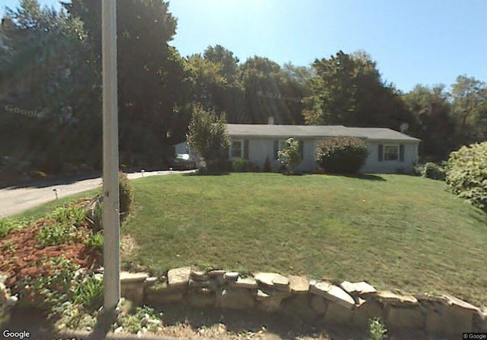
39 Clearview Ave Worcester, MA 01605
North Lincoln Street NeighborhoodEstimated Value: $414,556 - $489,000
4
Beds
1
Bath
1,480
Sq Ft
$299/Sq Ft
Est. Value
About This Home
This home is located at 39 Clearview Ave, Worcester, MA 01605 and is currently estimated at $443,139, approximately $299 per square foot. 39 Clearview Ave is a home located in Worcester County with nearby schools including Jacob Hiatt Magnet School, Chandler Magnet, and Wawecus Road School.
Ownership History
Date
Name
Owned For
Owner Type
Purchase Details
Closed on
Jun 15, 2005
Sold by
Hewitt Relocation Svc
Bought by
Rossi Michael J and Diaz-Rossi Zalda
Current Estimated Value
Home Financials for this Owner
Home Financials are based on the most recent Mortgage that was taken out on this home.
Original Mortgage
$229,900
Outstanding Balance
$120,176
Interest Rate
5.78%
Mortgage Type
Purchase Money Mortgage
Estimated Equity
$322,963
Purchase Details
Closed on
Mar 13, 2001
Sold by
King Timothy F and King Susan E
Bought by
Kinsella Damian K
Home Financials for this Owner
Home Financials are based on the most recent Mortgage that was taken out on this home.
Original Mortgage
$98,100
Interest Rate
7.15%
Mortgage Type
Purchase Money Mortgage
Purchase Details
Closed on
Nov 1, 1989
Sold by
Jeffcoat Vivian
Bought by
King Timothy
Create a Home Valuation Report for This Property
The Home Valuation Report is an in-depth analysis detailing your home's value as well as a comparison with similar homes in the area
Home Values in the Area
Average Home Value in this Area
Purchase History
| Date | Buyer | Sale Price | Title Company |
|---|---|---|---|
| Rossi Michael J | $229,900 | -- | |
| Hewitt Relocation Svc | $229,900 | -- | |
| Kinsella Damian K | $109,000 | -- | |
| King Timothy | $114,000 | -- |
Source: Public Records
Mortgage History
| Date | Status | Borrower | Loan Amount |
|---|---|---|---|
| Open | Rossi Michael J | $229,900 | |
| Previous Owner | King Timothy | $26,000 | |
| Previous Owner | King Timothy | $98,100 | |
| Previous Owner | King Timothy | $82,500 |
Source: Public Records
Tax History
| Year | Tax Paid | Tax Assessment Tax Assessment Total Assessment is a certain percentage of the fair market value that is determined by local assessors to be the total taxable value of land and additions on the property. | Land | Improvement |
|---|---|---|---|---|
| 2025 | $4,441 | $336,700 | $118,900 | $217,800 |
| 2024 | $4,360 | $317,100 | $118,900 | $198,200 |
| 2023 | $4,199 | $292,800 | $103,400 | $189,400 |
| 2022 | $3,708 | $243,800 | $82,700 | $161,100 |
| 2021 | $3,569 | $219,200 | $66,200 | $153,000 |
| 2020 | $3,577 | $210,400 | $66,200 | $144,200 |
| 2019 | $3,361 | $186,700 | $59,700 | $127,000 |
| 2018 | $3,266 | $172,700 | $59,700 | $113,000 |
| 2017 | $3,319 | $172,700 | $59,700 | $113,000 |
| 2016 | $3,225 | $156,500 | $44,300 | $112,200 |
| 2015 | $3,141 | $156,500 | $44,300 | $112,200 |
| 2014 | $3,058 | $156,500 | $44,300 | $112,200 |
Source: Public Records
Map
Nearby Homes
- 15 Ericsson St
- 30 Melrose St
- 44 Boardman St
- 31 Boardman St
- 2 Selden St
- 27 Harlow St
- 20B Edgeworth St
- 6 Roald St
- 23 Dryden St
- 33 Denmark St
- 25 Mckinley Rd
- 39 Whitmarsh Ave
- 45 Goldthwaite Rd
- 169 Whitmarsh Ave
- 74 Green Hill Pkwy
- 78 Green Hill Pkwy
- 82 Green Hill Pkwy
- 26 Orne St
- 3 Perkins St
- 323 Burncoat St
- 37 Clearview Ave
- 41 Clearview Ave
- 35 Clearview Ave
- 58 Kenwood Ave
- 54 Kenwood Ave
- 33 Clearview Ave
- 46 Kenwood Ave
- 38 Clearview Ave
- 31 Clearview Ave
- 44 Kenwood Ave
- 34 Clearview Ave
- 42 Kenwood Ave
- 29 Clearview Ave
- 64 Kenwood Ave
- 28 Clearview Ave
- 36 Kenwood Ave
- 55 Kenwood Ave
- 53 Kenwood Ave
- 49 Kenwood Ave
- 68 Kenwood Ave
Your Personal Tour Guide
Ask me questions while you tour the home.