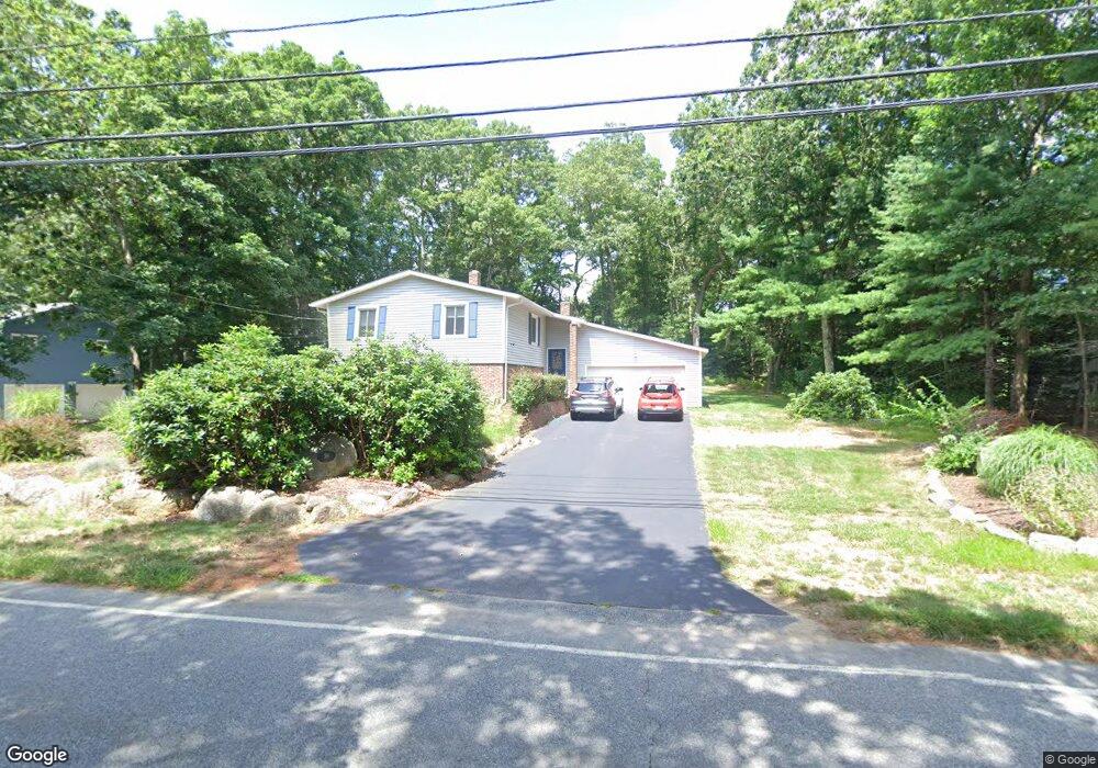
39 Club House Rd Coventry, RI 02816
Estimated Value: $512,501 - $633,000
4
Beds
2
Baths
1,780
Sq Ft
$322/Sq Ft
Est. Value
About This Home
This home is located at 39 Club House Rd, Coventry, RI 02816 and is currently estimated at $572,625, approximately $321 per square foot. 39 Club House Rd is a home located in Kent County with nearby schools including Alan Shawn Feinstein Ms Of Cov, Coventry High School, and Father John V. Doyle School.
Ownership History
Date
Name
Owned For
Owner Type
Purchase Details
Closed on
Jul 15, 1999
Sold by
Robinson Richard A and Robinson Gail M
Bought by
Rubenstein Barry and Rubenstein Judith L
Current Estimated Value
Home Financials for this Owner
Home Financials are based on the most recent Mortgage that was taken out on this home.
Original Mortgage
$120,000
Interest Rate
7.39%
Purchase Details
Closed on
Jul 28, 1988
Sold by
Montgomery Elmer
Bought by
Robinson Richard
Home Financials for this Owner
Home Financials are based on the most recent Mortgage that was taken out on this home.
Original Mortgage
$80,000
Interest Rate
10.39%
Create a Home Valuation Report for This Property
The Home Valuation Report is an in-depth analysis detailing your home's value as well as a comparison with similar homes in the area
Home Values in the Area
Average Home Value in this Area
Purchase History
| Date | Buyer | Sale Price | Title Company |
|---|---|---|---|
| Rubenstein Barry | $163,000 | -- | |
| Robinson Richard | $144,000 | -- |
Source: Public Records
Mortgage History
| Date | Status | Borrower | Loan Amount |
|---|---|---|---|
| Open | Robinson Richard | $119,000 | |
| Closed | Robinson Richard | $120,000 | |
| Previous Owner | Robinson Richard | $80,000 |
Source: Public Records
Tax History Compared to Growth
Tax History
| Year | Tax Paid | Tax Assessment Tax Assessment Total Assessment is a certain percentage of the fair market value that is determined by local assessors to be the total taxable value of land and additions on the property. | Land | Improvement |
|---|---|---|---|---|
| 2024 | $6,661 | $420,500 | $161,100 | $259,400 |
| 2023 | $6,446 | $420,500 | $161,100 | $259,400 |
| 2022 | $5,814 | $297,100 | $151,900 | $145,200 |
| 2021 | $5,764 | $297,100 | $151,900 | $145,200 |
| 2020 | $6,608 | $297,100 | $151,900 | $145,200 |
| 2019 | $5,816 | $261,500 | $131,100 | $130,400 |
| 2018 | $5,649 | $261,400 | $131,100 | $130,300 |
| 2017 | $5,484 | $261,400 | $131,100 | $130,300 |
| 2016 | $5,186 | $242,200 | $112,600 | $129,600 |
| 2015 | $5,045 | $242,200 | $112,600 | $129,600 |
| 2014 | $4,940 | $242,200 | $112,600 | $129,600 |
| 2013 | $4,978 | $266,800 | $123,400 | $143,400 |
Source: Public Records
Map
Nearby Homes
- 42 Kiley Way
- 22 Valiant Dr
- 3 Regalwood Dr
- 8 Winterberry Dr
- 13 Valiant Dr
- 2 Pine Way Blvd
- 6 Blue Spruce Dr
- 33 Sunset Lake Cir
- 25 Hill Farm Camp Rd
- 3 Lear Dr
- 81 Sunset Lake Cir
- 51 Sunset Lake Cir
- 88 Sunset Lake Cir Unit 88
- 8 Pine Way Blvd
- 16 Pine Way Blvd
- 7 June Ct
- 5 June Ct
- 89 Wright Way
- 83 Sunset Lake Cir
- 8 King Philip Rd