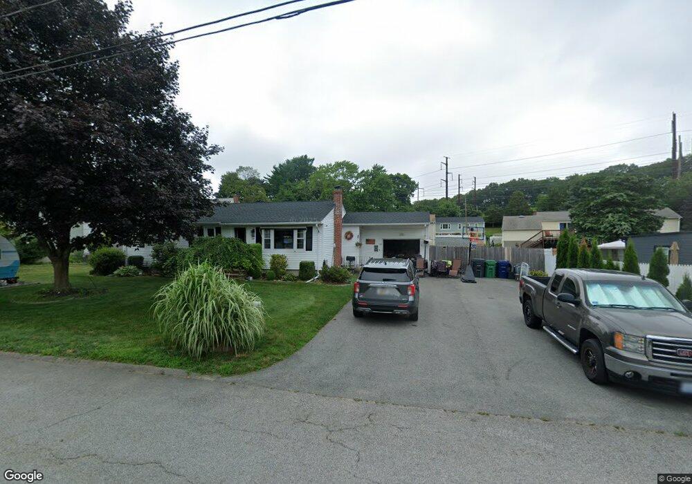
39 Douglas Rd Warwick, RI 02886
Bald Hill NeighborhoodEstimated Value: $394,140 - $443,000
3
Beds
1
Bath
1,056
Sq Ft
$400/Sq Ft
Est. Value
About This Home
This home is located at 39 Douglas Rd, Warwick, RI 02886 and is currently estimated at $422,535, approximately $400 per square foot. 39 Douglas Rd is a home located in Kent County with nearby schools including Islamic School of Rhode Island.
Ownership History
Date
Name
Owned For
Owner Type
Purchase Details
Closed on
Apr 18, 2011
Sold by
Masciarelli Raymond J
Bought by
Piccirillo 3Rd Angelo M and Richard Jaclyn A
Current Estimated Value
Home Financials for this Owner
Home Financials are based on the most recent Mortgage that was taken out on this home.
Original Mortgage
$165,690
Outstanding Balance
$114,380
Interest Rate
4.89%
Mortgage Type
Purchase Money Mortgage
Estimated Equity
$308,155
Create a Home Valuation Report for This Property
The Home Valuation Report is an in-depth analysis detailing your home's value as well as a comparison with similar homes in the area
Home Values in the Area
Average Home Value in this Area
Purchase History
| Date | Buyer | Sale Price | Title Company |
|---|---|---|---|
| Piccirillo 3Rd Angelo M | $170,000 | -- |
Source: Public Records
Mortgage History
| Date | Status | Borrower | Loan Amount |
|---|---|---|---|
| Open | Piccirillo 3Rd Angelo M | $165,690 |
Source: Public Records
Tax History
| Year | Tax Paid | Tax Assessment Tax Assessment Total Assessment is a certain percentage of the fair market value that is determined by local assessors to be the total taxable value of land and additions on the property. | Land | Improvement |
|---|---|---|---|---|
| 2025 | $4,382 | $345,000 | $115,700 | $229,300 |
| 2024 | $4,073 | $281,500 | $100,600 | $180,900 |
| 2023 | $3,980 | $280,500 | $100,600 | $179,900 |
| 2022 | $3,924 | $209,500 | $75,000 | $134,500 |
| 2021 | $3,924 | $209,500 | $75,000 | $134,500 |
| 2020 | $3,924 | $209,500 | $75,000 | $134,500 |
| 2019 | $3,924 | $209,500 | $75,000 | $134,500 |
| 2018 | $3,438 | $165,300 | $75,000 | $90,300 |
| 2017 | $3,346 | $165,300 | $75,000 | $90,300 |
| 2016 | $3,346 | $165,300 | $75,000 | $90,300 |
| 2015 | $3,104 | $149,600 | $73,400 | $76,200 |
| 2014 | $3,001 | $149,600 | $73,400 | $76,200 |
| 2013 | $2,961 | $149,600 | $73,400 | $76,200 |
Source: Public Records
Map
Nearby Homes
- 0 Centerville Rd
- 403 Commonwealth Ave
- 219 Brian Dr
- 151 Drum Rock Ave
- 52 Benefit St
- 237 Commonwealth Ave
- 139 Lancaster Ave
- 36 Great Oak Dr
- 11 College Hill Rd Unit 5B
- 11 College Hill Rd Unit 4A
- 979 Tollgate Unit 31 Rd
- 27 Great Oak Dr
- 155 Birkshire Dr
- 10 Arrowhead Way
- 3399 Post Rd Unit 15
- 8 Carr's Ln
- 9 Carr's Ln
- 7 Carr's Ln
- 5 Carr's Ln
- 52 Jambray Ave
Your Personal Tour Guide
Ask me questions while you tour the home.