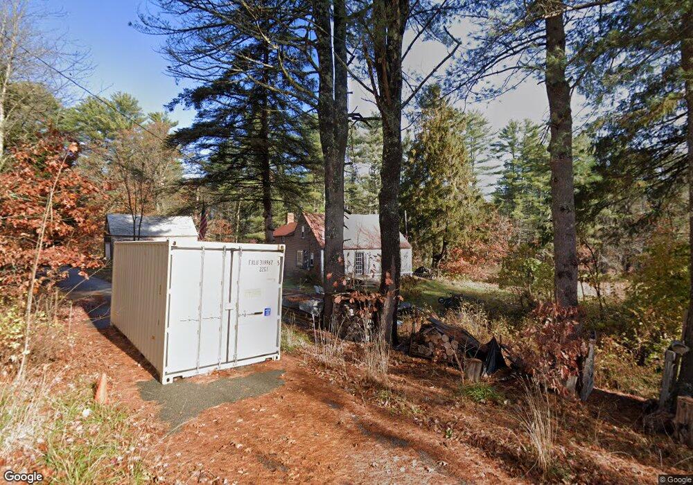
39 Drown Rd Alfred, ME 04002
Estimated Value: $344,000 - $464,000
2
Beds
1
Bath
1,220
Sq Ft
$317/Sq Ft
Est. Value
About This Home
This home is located at 39 Drown Rd, Alfred, ME 04002 and is currently estimated at $386,365, approximately $316 per square foot. 39 Drown Rd is a home located in York County with nearby schools including Massabesic High School and St Thomas Consolidated School.
Ownership History
Date
Name
Owned For
Owner Type
Purchase Details
Closed on
Sep 23, 2008
Sold by
Dochtermann James M
Bought by
Schuerman Todd J
Current Estimated Value
Home Financials for this Owner
Home Financials are based on the most recent Mortgage that was taken out on this home.
Original Mortgage
$170,000
Outstanding Balance
$112,255
Interest Rate
6.54%
Mortgage Type
Unknown
Estimated Equity
$274,110
Purchase Details
Closed on
Mar 2, 2006
Sold by
Drown Barbara
Bought by
Dochtermann James M
Create a Home Valuation Report for This Property
The Home Valuation Report is an in-depth analysis detailing your home's value as well as a comparison with similar homes in the area
Home Values in the Area
Average Home Value in this Area
Purchase History
| Date | Buyer | Sale Price | Title Company |
|---|---|---|---|
| Schuerman Todd J | -- | -- | |
| Dochtermann James M | -- | -- |
Source: Public Records
Mortgage History
| Date | Status | Borrower | Loan Amount |
|---|---|---|---|
| Open | Schuerman Todd J | $170,000 |
Source: Public Records
Tax History Compared to Growth
Tax History
| Year | Tax Paid | Tax Assessment Tax Assessment Total Assessment is a certain percentage of the fair market value that is determined by local assessors to be the total taxable value of land and additions on the property. | Land | Improvement |
|---|---|---|---|---|
| 2025 | $2,590 | $268,408 | $128,150 | $140,258 |
| 2024 | $2,536 | $268,408 | $128,150 | $140,258 |
| 2023 | $2,459 | $130,800 | $69,500 | $61,300 |
| 2022 | $2,354 | $130,800 | $69,500 | $61,300 |
| 2021 | $2,256 | $130,800 | $69,500 | $61,300 |
| 2020 | $2,145 | $130,800 | $69,500 | $61,300 |
| 2019 | $2,145 | $130,800 | $69,500 | $61,300 |
| 2018 | $1,308 | $130,800 | $69,500 | $61,300 |
| 2017 | $3,181 | $130,800 | $69,500 | $61,300 |
| 2016 | $1,982 | $130,800 | $69,500 | $61,300 |
| 2015 | $1,897 | $130,800 | $69,500 | $61,300 |
| 2014 | $1,864 | $130,800 | $69,500 | $61,300 |
| 2013 | $1,799 | $130,800 | $69,500 | $61,300 |
Source: Public Records
Map
Nearby Homes
- 87 Drown Rd
- 330 Biddeford Rd
- 2252 Alfred Rd
- 34 Cascade Cir Unit 30
- TBD Olde Farnham Rd
- 22 White House Cove Rd
- 232 Waterboro Rd
- 58 Sanford Rd
- 65 Old County Rd
- 74 Lisa Dr
- 16 Marcotte Ln
- Lot 35 Bennett Rd
- 23 Branch View Terrace N
- TBD Branch View Terrace Unit Lot 5
- TBD Branch View Terrace Unit Lot 4
- Lot B Bernier Rd
- Lot A Bernier Rd
- 0 Sanford Rd
- 149 Duke Ln
- 19 Day Rd
- 9 Meadow View
- 23 Drown Rd
- 18 Meadow View
- TBD Blueberry Hill Rd
- 22 Blueberry Hill Rd
- 266 Biddeford Rd
- 266 & 258 Biddeford Rd
- 288 Biddeford Rd
- 50 Blueberry Hill Rd
- 0 Blueberry Hill
- 0 Blueberry Hill Rd
- 39 Blueberry Hill Rd
- 306 Biddeford Rd
- 250 Biddeford Rd
- 0 Drown Rd
- 17 Blueberry Hill Rd
- 279 Biddeford Rd
- 265 Biddeford Rd
- 176 Clark Rd
- 175 Clark Rd