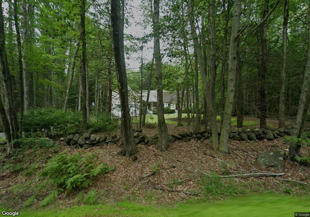
39 Francestown Turnpike Mont Vernon, NH 03057
Estimated Value: $505,000 - $644,000
3
Beds
3
Baths
2,709
Sq Ft
$219/Sq Ft
Est. Value
About This Home
This home is located at 39 Francestown Turnpike, Mont Vernon, NH 03057 and is currently estimated at $593,935, approximately $219 per square foot. 39 Francestown Turnpike is a home with nearby schools including Mont Vernon Village School and Souhegan Cooperative High School.
Ownership History
Date
Name
Owned For
Owner Type
Purchase Details
Closed on
Apr 19, 1999
Sold by
Curry Daniel J and Curry Nancy E
Bought by
Robinson Milton G and Robinson Jayma L
Current Estimated Value
Create a Home Valuation Report for This Property
The Home Valuation Report is an in-depth analysis detailing your home's value as well as a comparison with similar homes in the area
Home Values in the Area
Average Home Value in this Area
Purchase History
| Date | Buyer | Sale Price | Title Company |
|---|---|---|---|
| Robinson Milton G | $131,000 | -- |
Source: Public Records
Mortgage History
| Date | Status | Borrower | Loan Amount |
|---|---|---|---|
| Open | Robinson Milton G | $400,000 | |
| Closed | Robinson Milton G | $50,000 | |
| Closed | Robinson Milton G | $170,000 |
Source: Public Records
Tax History Compared to Growth
Tax History
| Year | Tax Paid | Tax Assessment Tax Assessment Total Assessment is a certain percentage of the fair market value that is determined by local assessors to be the total taxable value of land and additions on the property. | Land | Improvement |
|---|---|---|---|---|
| 2024 | $10,198 | $516,110 | $162,500 | $353,610 |
| 2023 | $8,818 | $303,660 | $102,500 | $201,160 |
| 2022 | $8,512 | $303,660 | $102,500 | $201,160 |
| 2021 | $8,636 | $303,660 | $102,500 | $201,160 |
| 2020 | $8,071 | $303,660 | $102,500 | $201,160 |
| 2019 | $7,841 | $303,660 | $102,500 | $201,160 |
| 2018 | $8,196 | $269,420 | $97,500 | $171,920 |
| 2016 | $7,926 | $269,120 | $97,500 | $171,620 |
| 2015 | $7,926 | $269,120 | $97,500 | $171,620 |
| 2014 | $6,751 | $272,780 | $107,500 | $165,280 |
| 2013 | $7,488 | $272,780 | $107,500 | $165,280 |
Source: Public Records
Map
Nearby Homes
- 8 Heron Way
- 8 Francestown Turnpike
- 26 N Main St Unit 7
- 31 Cross Rd
- 7 Southview Dr
- 69 Purgatory Rd
- 17 Kittredge Rd
- 157 Brook Rd
- 4 Trow Rd
- 80 Salisbury Rd
- 38 Mason Rd
- 79 Salisbury Rd
- 2 Wallace Ln
- 3 Owen Ln
- 106 Meadow Rd
- 171 S Hill Rd
- 007-056 MacK Hill Rd
- 80 Christian Hill Rd
- 1B Debbie Ln
- 51 Singer Brook Rd
- 43 Francestown Turnpike
- 37 Francestown Turnpike
- 47 Francestown Turnpike
- 38 Francestown Turnpike
- 35 Francestown Turnpike
- 48 Francestown Turnpike
- 36 Francestown Turnpike
- 33 Francestown Turnpike
- 32 Francestown Turnpike
- 29 Francestown Turnpike
- 31 Francestown Turnpike
- 52 Francestown Turnpike
- 27 Francestown Turnpike
- 51 Francestown Turnpike
- 2 Cranes Crossing
- 7 Old New Boston Rd
- 6 Cranes Crossing
- 6 Crane's Crossing
- 8 Cranes Crossing
- 53 Francestown Turnpike