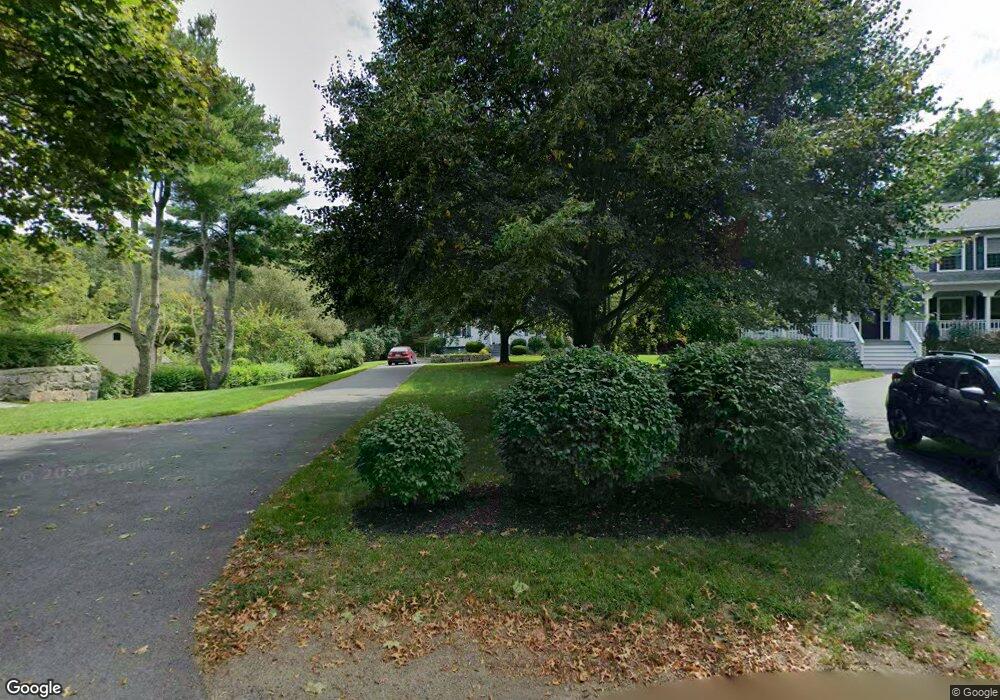
39 Gee Ave Gloucester, MA 01930
Estimated Value: $588,000 - $651,000
2
Beds
2
Baths
1,193
Sq Ft
$521/Sq Ft
Est. Value
About This Home
This home is located at 39 Gee Ave, Gloucester, MA 01930 and is currently estimated at $621,179, approximately $520 per square foot. 39 Gee Ave is a home located in Essex County with nearby schools including Beeman Memorial, Ralph B O'maley Middle School, and Gloucester High School.
Ownership History
Date
Name
Owned For
Owner Type
Purchase Details
Closed on
Mar 28, 2018
Sold by
Amero 3Rd M Bernard
Bought by
Amero Lucille M and Bernard Amero M
Current Estimated Value
Purchase Details
Closed on
Dec 1, 1972
Bought by
Amero M Bernard
Create a Home Valuation Report for This Property
The Home Valuation Report is an in-depth analysis detailing your home's value as well as a comparison with similar homes in the area
Purchase History
| Date | Buyer | Sale Price | Title Company |
|---|---|---|---|
| Amero Lucille M | -- | -- | |
| Amero M Bernard | -- | -- |
Source: Public Records
Mortgage History
| Date | Status | Borrower | Loan Amount |
|---|---|---|---|
| Previous Owner | Amero M Bernard | $55,000 | |
| Previous Owner | Amero M Bernard | $50,000 |
Source: Public Records
Tax History
| Year | Tax Paid | Tax Assessment Tax Assessment Total Assessment is a certain percentage of the fair market value that is determined by local assessors to be the total taxable value of land and additions on the property. | Land | Improvement |
|---|---|---|---|---|
| 2025 | $5,155 | $530,400 | $213,700 | $316,700 |
| 2024 | $5,155 | $529,800 | $203,500 | $326,300 |
| 2023 | $5,031 | $475,100 | $181,700 | $293,400 |
| 2022 | $4,577 | $390,200 | $157,900 | $232,300 |
| 2021 | $4,600 | $369,800 | $143,600 | $226,200 |
| 2020 | $4,362 | $353,800 | $143,600 | $210,200 |
| 2019 | $4,296 | $338,500 | $143,600 | $194,900 |
| 2018 | $4,233 | $327,400 | $143,600 | $183,800 |
| 2017 | $4,069 | $308,500 | $136,700 | $171,800 |
| 2016 | $4,041 | $296,900 | $142,600 | $154,300 |
| 2015 | $3,889 | $284,900 | $142,600 | $142,300 |
Source: Public Records
Map
Nearby Homes
- 3 Deacon Farm Ln
- 31 Echo Ave
- 2 Breezy Point Rd
- 672 Washington St
- 13 Honeysuckle Rd
- 13 Mystic Ave
- 8 Mystic Ave
- 98 Maplewood Ave
- 12 Arthur St
- 6 Monroe Ct
- 40 Sargent St
- 9 Cleveland Place
- 19 Trask St Unit 2
- 167 Atlantic St
- 226 Atlantic St
- 178 Atlantic St
- 50 Warner St
- 113 Pleasant St
- 33 Maplewood Ave Unit 310
- 15 Mount Vernon St
Your Personal Tour Guide
Ask me questions while you tour the home.