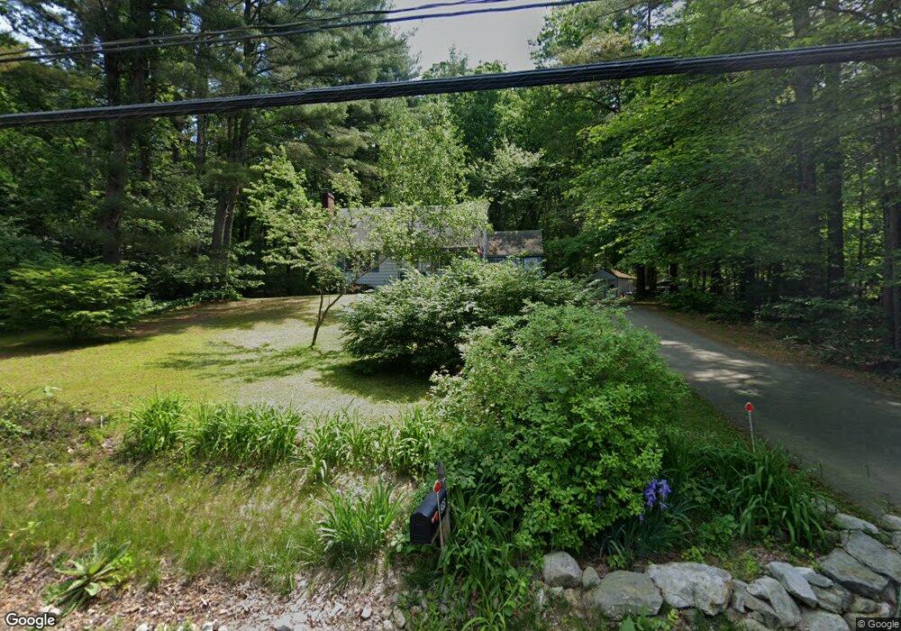
39 Gowing Rd Hudson, NH 03051
Estimated Value: $471,000 - $588,000
4
Beds
2
Baths
1,512
Sq Ft
$359/Sq Ft
Est. Value
About This Home
This home is located at 39 Gowing Rd, Hudson, NH 03051 and is currently estimated at $542,453, approximately $358 per square foot. 39 Gowing Rd is a home with nearby schools including Nottingham West Elementary School, Hudson Memorial School, and Alvirne High School.
Ownership History
Date
Name
Owned For
Owner Type
Purchase Details
Closed on
Sep 1, 2015
Sold by
Amlaw Sandra B
Bought by
Sandra B Amlaw Ft and Amlaw Sandra B
Current Estimated Value
Purchase Details
Closed on
Mar 23, 1984
Bought by
Amlaw Ft
Create a Home Valuation Report for This Property
The Home Valuation Report is an in-depth analysis detailing your home's value as well as a comparison with similar homes in the area
Home Values in the Area
Average Home Value in this Area
Purchase History
| Date | Buyer | Sale Price | Title Company |
|---|---|---|---|
| Sandra B Amlaw Ft | -- | -- | |
| Amlaw Ft | -- | -- |
Source: Public Records
Mortgage History
| Date | Status | Borrower | Loan Amount |
|---|---|---|---|
| Previous Owner | Amlaw Ft | $50,000 | |
| Previous Owner | Amlaw Ft | $110,000 |
Source: Public Records
Tax History
| Year | Tax Paid | Tax Assessment Tax Assessment Total Assessment is a certain percentage of the fair market value that is determined by local assessors to be the total taxable value of land and additions on the property. | Land | Improvement |
|---|---|---|---|---|
| 2025 | $6,835 | $399,500 | $171,900 | $227,600 |
| 2024 | $6,572 | $399,500 | $171,900 | $227,600 |
| 2023 | $6,264 | $399,500 | $171,900 | $227,600 |
| 2022 | $5,869 | $399,500 | $171,900 | $227,600 |
| 2021 | $5,723 | $264,100 | $111,900 | $152,200 |
| 2020 | $5,847 | $264,100 | $111,900 | $152,200 |
| 2019 | $5,628 | $264,100 | $111,900 | $152,200 |
| 2018 | $5,240 | $260,700 | $111,900 | $148,800 |
| 2017 | $5,141 | $260,700 | $111,900 | $148,800 |
| 2016 | $5,247 | $230,100 | $107,400 | $122,700 |
| 2015 | $4,890 | $230,100 | $107,400 | $122,700 |
| 2014 | $4,793 | $230,100 | $107,400 | $122,700 |
| 2013 | $4,731 | $230,100 | $107,400 | $122,700 |
Source: Public Records
Map
Nearby Homes
- 2 Aspen Dr
- 2 Aspen Dr Unit Lot 146-17
- 26 Eayers Pond Rd
- 104 Long Pond Rd
- 17 Descheneaux Ln
- 40 Westfall Rd
- 43 & 53 5th St
- 10 Oakland Ridge Rd Unit 11
- 6 David Dr
- 15 Easthill Dr
- 6 Wilshire Ln Unit 6
- 4 Wilshire Ln Unit 4
- 4 Wilshire Ln
- 179 Lakeview Ave
- 9 Cornstalk Ln
- 160 Daniel Webster Hwy Unit 319
- 75 Frost Rd
- 4 Mascuppic Trail
- 27 Beech St
- 33 Spit Brook Rd Unit A-2
Your Personal Tour Guide
Ask me questions while you tour the home.