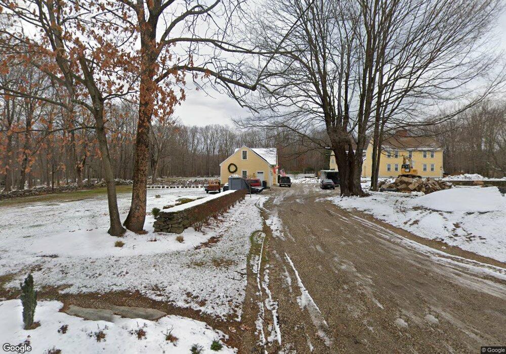
39 Gulf Rd Stafford Springs, CT 06076
Stafford NeighborhoodEstimated Value: $808,000 - $900,000
5
Beds
3
Baths
4,468
Sq Ft
$188/Sq Ft
Est. Value
About This Home
This home is located at 39 Gulf Rd, Stafford Springs, CT 06076 and is currently estimated at $839,519, approximately $187 per square foot. 39 Gulf Rd is a home located in Tolland County with nearby schools including Stafford Elementary School, Stafford Middle School, and Stafford High School.
Ownership History
Date
Name
Owned For
Owner Type
Purchase Details
Closed on
Jul 2, 2008
Sold by
Paulis Gerald
Bought by
Cauthon Randal and Cauthon Lisa
Current Estimated Value
Home Financials for this Owner
Home Financials are based on the most recent Mortgage that was taken out on this home.
Original Mortgage
$416,000
Interest Rate
6.01%
Purchase Details
Closed on
Dec 31, 1997
Sold by
West Michael
Bought by
Kanic Frank and Kanic Sara
Create a Home Valuation Report for This Property
The Home Valuation Report is an in-depth analysis detailing your home's value as well as a comparison with similar homes in the area
Home Values in the Area
Average Home Value in this Area
Purchase History
| Date | Buyer | Sale Price | Title Company |
|---|---|---|---|
| Cauthon Randal | $540,000 | -- | |
| Kanic Frank | $229,900 | -- |
Source: Public Records
Mortgage History
| Date | Status | Borrower | Loan Amount |
|---|---|---|---|
| Open | Kanic Frank | $417,000 | |
| Closed | Kanic Frank | $416,000 | |
| Closed | Kanic Frank | $416,000 |
Source: Public Records
Tax History Compared to Growth
Tax History
| Year | Tax Paid | Tax Assessment Tax Assessment Total Assessment is a certain percentage of the fair market value that is determined by local assessors to be the total taxable value of land and additions on the property. | Land | Improvement |
|---|---|---|---|---|
| 2025 | $23,377 | $377,020 | $39,550 | $337,470 |
| 2024 | $14,549 | $377,020 | $39,550 | $337,470 |
| 2023 | $8,268 | $224,910 | $39,550 | $185,360 |
| 2022 | $8,047 | $224,910 | $39,550 | $185,360 |
| 2021 | $7,856 | $224,910 | $39,550 | $185,360 |
| 2020 | $7,330 | $209,860 | $45,920 | $163,940 |
| 2019 | $12,118 | $346,920 | $45,920 | $301,000 |
| 2018 | $11,885 | $346,920 | $45,920 | $301,000 |
| 2017 | $11,771 | $346,920 | $45,920 | $301,000 |
| 2016 | $11,625 | $346,920 | $45,920 | $301,000 |
| 2015 | $11,625 | $356,580 | $45,920 | $310,660 |
| 2014 | $11,778 | $356,580 | $45,920 | $310,660 |
Source: Public Records
Map
Nearby Homes