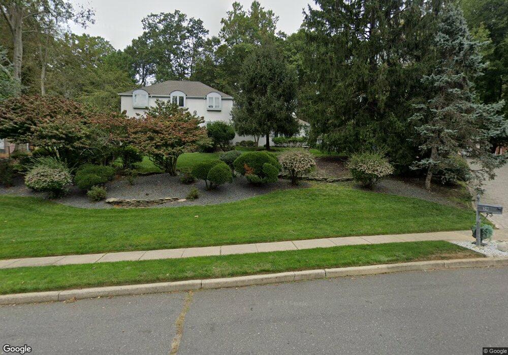
39 Howland Rd Middletown, NJ 07748
New Monmouth NeighborhoodEstimated Value: $1,114,000 - $1,292,000
4
Beds
3
Baths
4,204
Sq Ft
$281/Sq Ft
Est. Value
About This Home
This home is located at 39 Howland Rd, Middletown, NJ 07748 and is currently estimated at $1,181,664, approximately $281 per square foot. 39 Howland Rd is a home located in Monmouth County with nearby schools including Nut Swamp Elementary School, Thompson Middle School, and Middletown - South High School.
Ownership History
Date
Name
Owned For
Owner Type
Purchase Details
Closed on
Dec 12, 2024
Sold by
Richard L Brown Trust and Brown Richard L
Bought by
Brown Sandra G
Current Estimated Value
Purchase Details
Closed on
Dec 28, 2012
Sold by
Brown Richard L and Brown Sandra G
Bought by
Brown Richard L and Brown Sandra G
Purchase Details
Closed on
Jan 11, 1995
Sold by
Kolmer John
Bought by
Brown Richard and Brown Sandra
Home Financials for this Owner
Home Financials are based on the most recent Mortgage that was taken out on this home.
Original Mortgage
$150,000
Interest Rate
9.13%
Create a Home Valuation Report for This Property
The Home Valuation Report is an in-depth analysis detailing your home's value as well as a comparison with similar homes in the area
Home Values in the Area
Average Home Value in this Area
Purchase History
| Date | Buyer | Sale Price | Title Company |
|---|---|---|---|
| Brown Sandra G | -- | None Listed On Document | |
| Brown Sandra G | -- | None Listed On Document | |
| Brown Richard L | -- | None Available | |
| Brown Richard | $495,000 | -- |
Source: Public Records
Mortgage History
| Date | Status | Borrower | Loan Amount |
|---|---|---|---|
| Previous Owner | Brown Richard | $150,000 |
Source: Public Records
Tax History Compared to Growth
Tax History
| Year | Tax Paid | Tax Assessment Tax Assessment Total Assessment is a certain percentage of the fair market value that is determined by local assessors to be the total taxable value of land and additions on the property. | Land | Improvement |
|---|---|---|---|---|
| 2025 | $15,932 | $968,500 | $473,800 | $494,700 |
| 2024 | $16,744 | $968,500 | $422,000 | $546,500 |
| 2023 | $16,744 | $963,400 | $343,400 | $620,000 |
| 2022 | $16,900 | $913,800 | $314,900 | $598,900 |
| 2021 | $16,900 | $814,400 | $281,700 | $532,700 |
| 2020 | $17,311 | $809,700 | $281,700 | $528,000 |
| 2019 | $17,038 | $806,700 | $281,700 | $525,000 |
| 2018 | $23,551 | $1,086,800 | $296,500 | $790,300 |
| 2017 | $22,752 | $1,071,200 | $296,500 | $774,700 |
| 2016 | $22,518 | $1,056,700 | $301,500 | $755,200 |
| 2015 | $21,828 | $1,021,900 | $281,500 | $740,400 |
| 2014 | $20,756 | $948,200 | $271,500 | $676,700 |
Source: Public Records
Map
Nearby Homes
- 20 Cormorant Dr
- 7 Cormorant Dr
- 234 Borden Rd
- 83 Green Meadow Blvd
- 185 Ballantine Rd
- 911 Middletown Lincroft Rd
- 74 Fish Hawk Dr
- 93 Wallace Rd
- 17 Terry Ln
- 45 Galloping Hill Cir
- 111 Crawfords Corner Rd
- 8 Fowler Ct
- 11 Mayflower Dr
- 246 Sunnyside Rd
- 30 Winchester Ln
- 33 Winchester Ln
- 164 Heights Terrace
- 4 E Parkway Place
- 50 Munch Rd
- 17 Spalding Dr