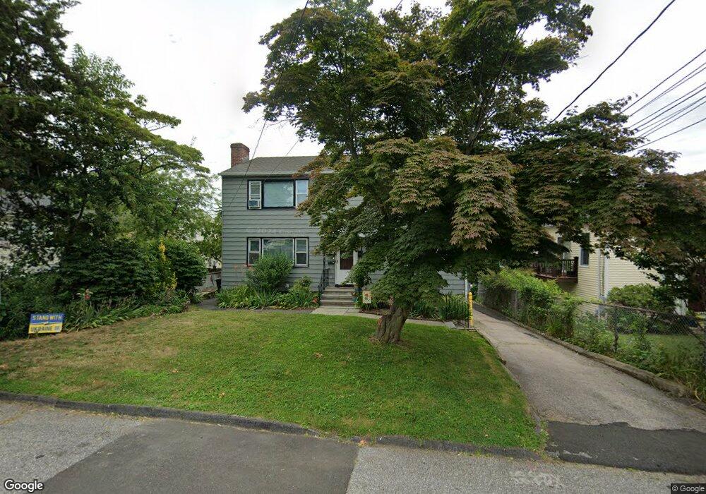
39 Keith St Unit 1 Stamford, CT 06902
Waterside NeighborhoodEstimated Value: $819,849 - $970,000
3
Beds
3
Baths
1,725
Sq Ft
$535/Sq Ft
Est. Value
About This Home
This home is located at 39 Keith St Unit 1, Stamford, CT 06902 and is currently estimated at $923,462, approximately $535 per square foot. 39 Keith St Unit 1 is a home located in Fairfield County with nearby schools including Stillmeadow Elementary School, Cloonan School, and Westhill High School.
Ownership History
Date
Name
Owned For
Owner Type
Purchase Details
Closed on
Sep 29, 2017
Sold by
Faugno Lisa M
Bought by
Lisa M Faugno Ret and Faugno
Current Estimated Value
Purchase Details
Closed on
Jan 18, 1977
Bought by
Faugno Samuel J
Create a Home Valuation Report for This Property
The Home Valuation Report is an in-depth analysis detailing your home's value as well as a comparison with similar homes in the area
Home Values in the Area
Average Home Value in this Area
Purchase History
| Date | Buyer | Sale Price | Title Company |
|---|---|---|---|
| Lisa M Faugno Ret | -- | -- | |
| Lisa M Faugno Ret | -- | -- | |
| Faugno Lisa M | -- | -- | |
| Faugno Lisa M | -- | -- | |
| Faugno Samuel J | -- | -- |
Source: Public Records
Tax History
| Year | Tax Paid | Tax Assessment Tax Assessment Total Assessment is a certain percentage of the fair market value that is determined by local assessors to be the total taxable value of land and additions on the property. | Land | Improvement |
|---|---|---|---|---|
| 2025 | $12,135 | $507,300 | $197,440 | $309,860 |
| 2024 | $11,851 | $507,300 | $197,440 | $309,860 |
| 2023 | $12,804 | $507,300 | $197,440 | $309,860 |
| 2022 | $10,225 | $376,320 | $143,080 | $233,240 |
| 2021 | $10,138 | $376,320 | $143,080 | $233,240 |
| 2020 | $9,916 | $376,320 | $143,080 | $233,240 |
| 2019 | $9,916 | $376,320 | $143,080 | $233,240 |
| 2018 | $9,607 | $376,320 | $143,080 | $233,240 |
| 2017 | $7,531 | $280,070 | $108,750 | $171,320 |
| 2016 | $7,315 | $280,070 | $108,750 | $171,320 |
| 2015 | $7,122 | $280,070 | $108,750 | $171,320 |
| 2014 | $6,943 | $280,070 | $108,750 | $171,320 |
Source: Public Records
Map
Nearby Homes
- 20 Cook Rd
- 40 Orchard St
- 281 Greenwich Ave
- 225 Washington Blvd
- 10 Lipton Place
- 55 Woodland Place Unit 1
- 8 Park Ave
- 105 Harbor Dr Unit 117
- 15 Victory St Unit 12
- 61 Aberdeen St
- 37 Greenwich Ave Unit 1-12
- 2 Forest Ave
- 6 Clark St
- 19 Stillwater Ave Unit E
- 25 Sagamore Rd
- 93 Spruce St Unit 11
- 63 Wesskum Wood Rd
- 17 Maple Dr
- 186 Stillwater Ave Unit 129
- 5 Greenwich Cove Dr
Your Personal Tour Guide
Ask me questions while you tour the home.