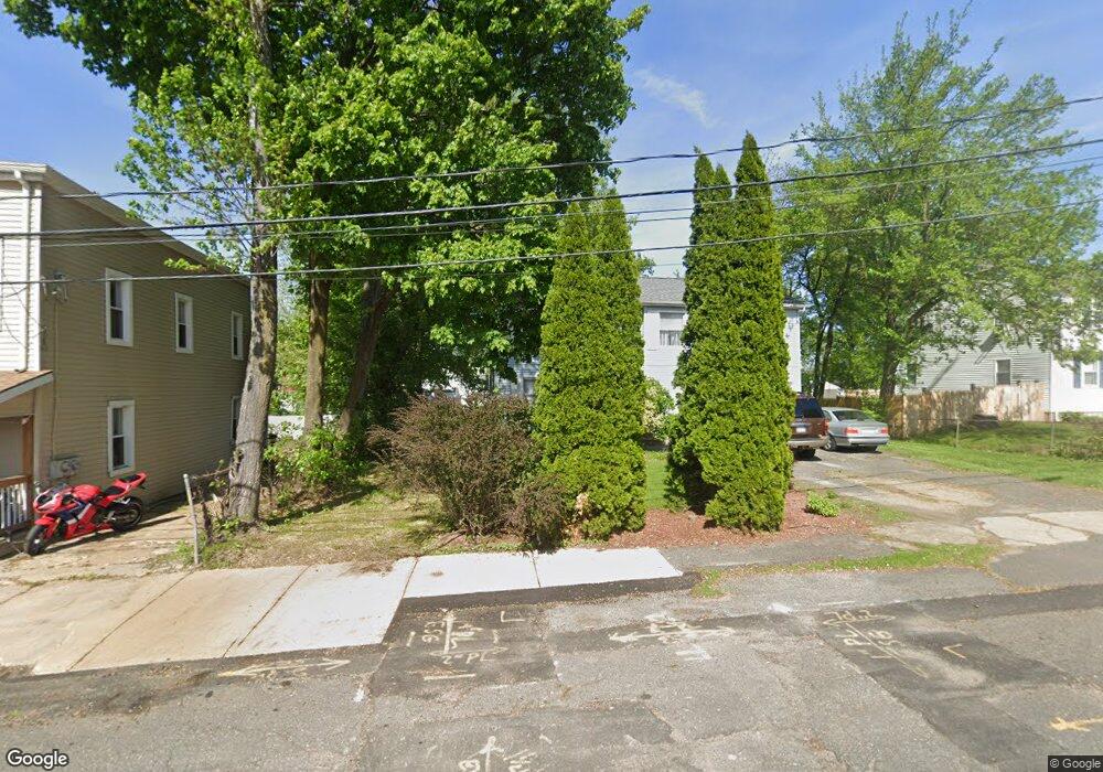
39 King St Agawam, MA 01001
Estimated Value: $278,000 - $370,000
3
Beds
1
Bath
1,034
Sq Ft
$308/Sq Ft
Est. Value
About This Home
This home is located at 39 King St, Agawam, MA 01001 and is currently estimated at $318,314, approximately $307 per square foot. 39 King St is a home located in Hampden County with nearby schools including Agawam Junior High School, Agawam High School, and St Thomas The Apostle School.
Ownership History
Date
Name
Owned For
Owner Type
Purchase Details
Closed on
Feb 9, 2005
Sold by
Griffin David D and Scharmann Kenneth E
Bought by
Goff Hope P and Goff Robert P
Current Estimated Value
Home Financials for this Owner
Home Financials are based on the most recent Mortgage that was taken out on this home.
Original Mortgage
$178,234
Outstanding Balance
$91,070
Interest Rate
5.83%
Mortgage Type
Purchase Money Mortgage
Estimated Equity
$227,244
Purchase Details
Closed on
Aug 2, 1988
Sold by
Cullison Deborah
Bought by
Griffin David D
Create a Home Valuation Report for This Property
The Home Valuation Report is an in-depth analysis detailing your home's value as well as a comparison with similar homes in the area
Home Values in the Area
Average Home Value in this Area
Purchase History
| Date | Buyer | Sale Price | Title Company |
|---|---|---|---|
| Goff Hope P | $181,000 | -- | |
| Griffin David D | $16,000 | -- |
Source: Public Records
Mortgage History
| Date | Status | Borrower | Loan Amount |
|---|---|---|---|
| Open | Goff Hope P | $178,234 | |
| Previous Owner | Griffin David D | $75,800 |
Source: Public Records
Tax History
| Year | Tax Paid | Tax Assessment Tax Assessment Total Assessment is a certain percentage of the fair market value that is determined by local assessors to be the total taxable value of land and additions on the property. | Land | Improvement |
|---|---|---|---|---|
| 2025 | $3,950 | $269,800 | $93,100 | $176,700 |
| 2024 | $3,786 | $260,400 | $88,300 | $172,100 |
| 2023 | $3,865 | $244,900 | $80,700 | $164,200 |
| 2022 | $3,760 | $233,400 | $80,700 | $152,700 |
| 2021 | $3,779 | $222,700 | $71,800 | $150,900 |
| 2020 | $3,706 | $220,200 | $71,000 | $149,200 |
| 2019 | $3,478 | $208,900 | $69,500 | $139,400 |
| 2018 | $3,310 | $199,300 | $69,500 | $129,800 |
| 2017 | $3,140 | $192,500 | $69,500 | $123,000 |
| 2016 | $3,026 | $187,000 | $69,500 | $117,500 |
| 2015 | $2,987 | $189,800 | $69,500 | $120,300 |
Source: Public Records
Map
Nearby Homes
Your Personal Tour Guide
Ask me questions while you tour the home.