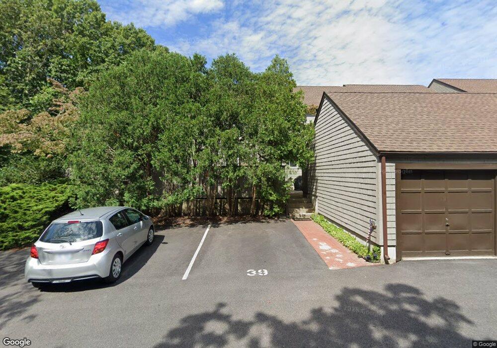
39 Landing Ln North Kingstown, RI 02852
Wickford NeighborhoodEstimated Value: $568,622 - $618,000
2
Beds
2
Baths
1,272
Sq Ft
$462/Sq Ft
Est. Value
About This Home
This home is located at 39 Landing Ln, North Kingstown, RI 02852 and is currently estimated at $587,656, approximately $461 per square foot. 39 Landing Ln is a home located in Washington County with nearby schools including Fishing Cove Elementary School, Davisville Middle School, and North Kingstown Sr. High School.
Ownership History
Date
Name
Owned For
Owner Type
Purchase Details
Closed on
Jun 21, 2016
Sold by
Mears Stuart I
Bought by
Meleny Kethleen M
Current Estimated Value
Purchase Details
Closed on
Aug 27, 2012
Sold by
Mears Ian V and Mears Joan E
Bought by
Ian & Joan Mears Irt
Purchase Details
Closed on
Dec 6, 1996
Sold by
Walsh Jerome M
Bought by
Mears Ian V and Mears Joan
Home Financials for this Owner
Home Financials are based on the most recent Mortgage that was taken out on this home.
Original Mortgage
$112,800
Interest Rate
7.83%
Create a Home Valuation Report for This Property
The Home Valuation Report is an in-depth analysis detailing your home's value as well as a comparison with similar homes in the area
Home Values in the Area
Average Home Value in this Area
Purchase History
| Date | Buyer | Sale Price | Title Company |
|---|---|---|---|
| Meleny Kethleen M | $270,000 | -- | |
| Ian & Joan Mears Irt | -- | -- | |
| Mears Ian V | $141,000 | -- |
Source: Public Records
Mortgage History
| Date | Status | Borrower | Loan Amount |
|---|---|---|---|
| Previous Owner | Mears Ian V | $112,800 |
Source: Public Records
Tax History Compared to Growth
Tax History
| Year | Tax Paid | Tax Assessment Tax Assessment Total Assessment is a certain percentage of the fair market value that is determined by local assessors to be the total taxable value of land and additions on the property. | Land | Improvement |
|---|---|---|---|---|
| 2025 | $5,460 | $494,600 | $0 | $494,600 |
| 2024 | $5,627 | $392,400 | $0 | $392,400 |
| 2023 | $5,627 | $392,400 | $0 | $392,400 |
| 2022 | $5,517 | $392,400 | $0 | $392,400 |
| 2021 | $5,542 | $316,700 | $0 | $316,700 |
| 2020 | $5,412 | $316,700 | $0 | $316,700 |
| 2019 | $5,412 | $316,700 | $0 | $316,700 |
| 2018 | $4,722 | $248,900 | $0 | $248,900 |
| 2017 | $4,627 | $248,900 | $0 | $248,900 |
| 2016 | $4,495 | $248,900 | $0 | $248,900 |
| 2015 | $4,705 | $243,800 | $0 | $243,800 |
| 2014 | $3,858 | $243,800 | $0 | $243,800 |
Source: Public Records
Map
Nearby Homes
- 39 Landing Ln Unit 39
- 37 Landing Ln
- 37 Landing Ln
- 41 Landing Ln
- 35 Landing Ln
- 33 Landing Ln
- 31 Landing Ln
- 26 Landing Ln
- 24 Landing Ln
- 22 Landing Ln
- 22 Landing Ln Unit 122
- 20 Landing Ln
- 233 Seabreeze Dr
- 211 Seabreeze Dr
- 231 Seabreeze Dr
- 229 Seabreeze Dr
- 209 Seabreeze Dr
- 207 Seabreeze Dr
- 227 Seabreeze Dr
- 205 Seabreeze Dr