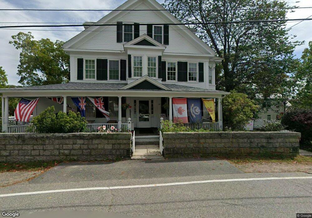
39 Leonard St Gloucester, MA 01930
Annisquam NeighborhoodEstimated Value: $1,414,000 - $2,551,000
6
Beds
3
Baths
2,676
Sq Ft
$759/Sq Ft
Est. Value
About This Home
This home is located at 39 Leonard St, Gloucester, MA 01930 and is currently estimated at $2,031,596, approximately $759 per square foot. 39 Leonard St is a home located in Essex County with nearby schools including Plum Cove School, Ralph B O'maley Middle School, and Gloucester High School.
Ownership History
Date
Name
Owned For
Owner Type
Purchase Details
Closed on
May 16, 2022
Sold by
Teele David W and Teele Rita A
Bought by
Rita A Teele 2011 Ret
Current Estimated Value
Purchase Details
Closed on
Nov 3, 2011
Sold by
Teele David W
Bought by
Teele David W and Teele Rita A
Create a Home Valuation Report for This Property
The Home Valuation Report is an in-depth analysis detailing your home's value as well as a comparison with similar homes in the area
Home Values in the Area
Average Home Value in this Area
Purchase History
| Date | Buyer | Sale Price | Title Company |
|---|---|---|---|
| Rita A Teele 2011 Ret | -- | None Available | |
| Teele David W | -- | -- |
Source: Public Records
Mortgage History
| Date | Status | Borrower | Loan Amount |
|---|---|---|---|
| Previous Owner | Teele David W | $50,000 |
Source: Public Records
Tax History Compared to Growth
Tax History
| Year | Tax Paid | Tax Assessment Tax Assessment Total Assessment is a certain percentage of the fair market value that is determined by local assessors to be the total taxable value of land and additions on the property. | Land | Improvement |
|---|---|---|---|---|
| 2025 | $22,873 | $2,353,200 | $1,635,900 | $717,300 |
| 2024 | $18,985 | $1,951,200 | $1,233,900 | $717,300 |
| 2023 | $17,789 | $1,679,800 | $1,052,300 | $627,500 |
| 2022 | $17,195 | $1,465,900 | $915,300 | $550,600 |
| 2021 | $16,594 | $1,333,900 | $832,000 | $501,900 |
| 2020 | $16,504 | $1,338,500 | $832,000 | $506,500 |
| 2019 | $15,922 | $1,254,700 | $793,300 | $461,400 |
| 2018 | $15,564 | $1,203,700 | $774,000 | $429,700 |
| 2017 | $15,099 | $1,144,700 | $736,900 | $407,800 |
| 2016 | $14,616 | $1,073,900 | $705,400 | $368,500 |
| 2015 | $14,062 | $1,030,200 | $689,400 | $340,800 |
Source: Public Records
Map
Nearby Homes
- 672 Washington St
- 226 Atlantic St
- 188 Atlantic St
- 43 High St Unit B
- 109 Riverview Rd
- 65 Poplar St
- 26 Coggeshall Rd
- 19 Mystic Ave
- 78 Grove St
- 27 Hodgkins Rd
- 16 Cleveland Place Unit 11
- 15 Granite St
- 196 Washington St
- 40 Sargent St
- 18 Granite St
- 20 Railroad Ave
- 2 Boulder Top
- 119 Pleasant St
- 5 Smith St Unit R
- 29 Harrison Ave