39 Mac Ln Alfred, ME 04002
Estimated Value: $333,000 - $548,560
4
Beds
3
Baths
906
Sq Ft
$523/Sq Ft
Est. Value
About This Home
This home is located at 39 Mac Ln, Alfred, ME 04002 and is currently estimated at $473,890, approximately $523 per square foot. 39 Mac Ln is a home located in York County with nearby schools including Massabesic High School.
Create a Home Valuation Report for This Property
The Home Valuation Report is an in-depth analysis detailing your home's value as well as a comparison with similar homes in the area
Home Values in the Area
Average Home Value in this Area
Tax History Compared to Growth
Tax History
| Year | Tax Paid | Tax Assessment Tax Assessment Total Assessment is a certain percentage of the fair market value that is determined by local assessors to be the total taxable value of land and additions on the property. | Land | Improvement |
|---|---|---|---|---|
| 2025 | $4,727 | $489,832 | $179,900 | $309,932 |
| 2024 | $4,629 | $489,832 | $179,900 | $309,932 |
| 2023 | $4,540 | $241,500 | $77,400 | $164,100 |
| 2022 | $4,347 | $241,500 | $77,400 | $164,100 |
| 2021 | $4,099 | $237,600 | $77,400 | $160,200 |
| 2020 | $3,897 | $237,600 | $77,400 | $160,200 |
| 2019 | $3,897 | $237,600 | $77,400 | $160,200 |
| 2018 | $3,778 | $237,600 | $77,400 | $160,200 |
| 2017 | $3,778 | $237,600 | $77,400 | $160,200 |
| 2016 | $3,600 | $237,600 | $77,400 | $160,200 |
| 2015 | $3,445 | $237,600 | $77,400 | $160,200 |
| 2014 | $3,386 | $237,600 | $77,400 | $160,200 |
| 2013 | $3,267 | $237,600 | $77,400 | $160,200 |
Source: Public Records
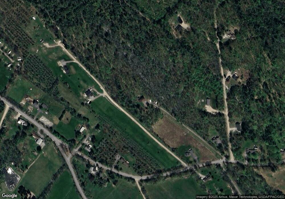
Map
Nearby Homes
- 67 Carpenter Hill Rd
- 691 Gore Rd
- Lot 1 Martin Cir
- 5 Cooper Way
- 599 Gore Rd
- 15 Scooter Way
- 74 Lisa Dr
- 232 Waterboro Rd
- 450 West Rd
- 146 Rhode Island Ave
- Lot 650 Gebung Rd
- 26 Kolbe Dr
- TBD Olde Farnham Rd
- 22 White House Cove Rd
- 34 Cascade Cir Unit 30
- 16 Marcotte Ln
- 95 Walnut Hill Rd
- 9 Restful Way
- 628 Main St
- TBD Elm St