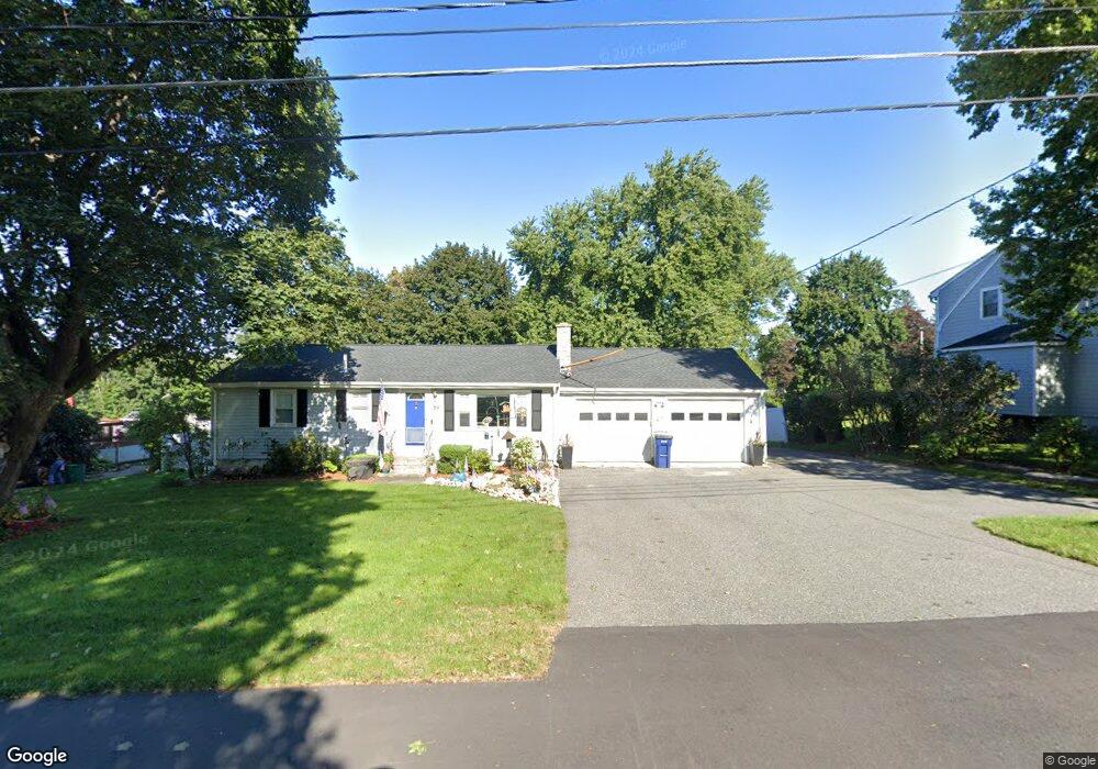
39 Maple St Medway, MA 02053
Estimated Value: $580,599 - $741,000
4
Beds
2
Baths
1,596
Sq Ft
$411/Sq Ft
Est. Value
About This Home
This home is located at 39 Maple St, Medway, MA 02053 and is currently estimated at $655,400, approximately $410 per square foot. 39 Maple St is a home located in Norfolk County with nearby schools including John D. McGovern Elementary School, Burke-Memorial Elementary, and Medway Middle School.
Ownership History
Date
Name
Owned For
Owner Type
Purchase Details
Closed on
Apr 30, 1992
Sold by
Parlagreco Peter and Parlagreco Josephin
Bought by
Furdon Robert S and Furdon Anne M
Current Estimated Value
Home Financials for this Owner
Home Financials are based on the most recent Mortgage that was taken out on this home.
Original Mortgage
$128,250
Interest Rate
8.96%
Mortgage Type
Purchase Money Mortgage
Purchase Details
Closed on
Jun 19, 1987
Sold by
Higgins William E
Bought by
Parlagreco Peter
Home Financials for this Owner
Home Financials are based on the most recent Mortgage that was taken out on this home.
Original Mortgage
$75,000
Interest Rate
10.54%
Mortgage Type
Purchase Money Mortgage
Create a Home Valuation Report for This Property
The Home Valuation Report is an in-depth analysis detailing your home's value as well as a comparison with similar homes in the area
Home Values in the Area
Average Home Value in this Area
Purchase History
| Date | Buyer | Sale Price | Title Company |
|---|---|---|---|
| Furdon Robert S | $135,000 | -- | |
| Parlagreco Peter | $125,000 | -- |
Source: Public Records
Mortgage History
| Date | Status | Borrower | Loan Amount |
|---|---|---|---|
| Open | Parlagreco Peter | $225,000 | |
| Closed | Parlagreco Peter | $124,650 | |
| Closed | Parlagreco Peter | $128,250 | |
| Previous Owner | Parlagreco Peter | $75,000 |
Source: Public Records
Tax History
| Year | Tax Paid | Tax Assessment Tax Assessment Total Assessment is a certain percentage of the fair market value that is determined by local assessors to be the total taxable value of land and additions on the property. | Land | Improvement |
|---|---|---|---|---|
| 2025 | $7,535 | $528,800 | $286,900 | $241,900 |
| 2024 | $7,615 | $528,800 | $286,900 | $241,900 |
| 2023 | $7,141 | $448,000 | $237,700 | $210,300 |
| 2022 | $7,106 | $419,700 | $211,100 | $208,600 |
| 2021 | $6,970 | $399,200 | $194,700 | $204,500 |
| 2020 | $6,736 | $384,900 | $180,400 | $204,500 |
| 2019 | $6,437 | $379,300 | $180,400 | $198,900 |
| 2018 | $6,264 | $354,700 | $155,800 | $198,900 |
| 2017 | $6,190 | $345,400 | $155,800 | $189,600 |
| 2016 | $5,757 | $317,900 | $128,300 | $189,600 |
| 2015 | $5,664 | $310,500 | $120,900 | $189,600 |
| 2014 | $5,241 | $278,200 | $127,100 | $151,100 |
Source: Public Records
Map
Nearby Homes
- 79 Lovering St Unit B
- 8 Winthrop St
- 19 Evergreen St Unit A
- 40 Timber Crest Dr
- 26 Timber Crest Dr
- 19 Sycamore Way
- 58 Holliston St
- 5 Richardson St
- 33 Gorwin Dr
- 50 Main St
- 17 Fairway Ln
- 11 Fairway Ln
- 10 Franklin St
- 6 Freedom Trail
- 2 Kingson Ln Unit 2
- 3 Thayer Rd
- 6 Kingson Ln Unit 2
- 1391 Pond St
- 4 Bullard Cir
- 0 Hill St
Your Personal Tour Guide
Ask me questions while you tour the home.