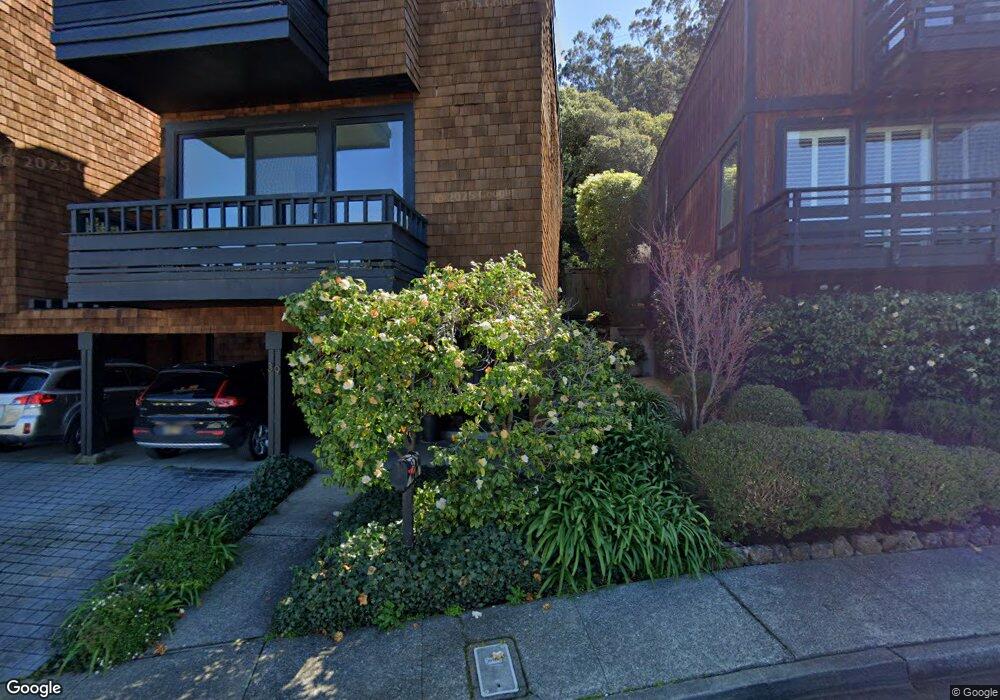
39 Marin Ave Unit 2 Sausalito, CA 94965
Estimated Value: $1,377,000 - $1,576,000
3
Beds
3
Baths
1,857
Sq Ft
$781/Sq Ft
Est. Value
About This Home
This home is located at 39 Marin Ave Unit 2, Sausalito, CA 94965 and is currently estimated at $1,449,723, approximately $780 per square foot. 39 Marin Ave Unit 2 is a home located in Marin County with nearby schools including Dr. Martin Luther King, Jr. Academy - Nevada Campus, Tamalpais High School, and The New Village School.
Ownership History
Date
Name
Owned For
Owner Type
Purchase Details
Closed on
Aug 27, 2007
Sold by
Lipsitz Scott D and Nordstrom Amy E
Bought by
Lipsitz Scott D and Nordstrom Amy E
Current Estimated Value
Purchase Details
Closed on
Nov 3, 2005
Sold by
Wilson Edgar S and Wilson Rochelle I
Bought by
Lipsitz Scott D and Nordstrom Amy E
Home Financials for this Owner
Home Financials are based on the most recent Mortgage that was taken out on this home.
Original Mortgage
$712,000
Outstanding Balance
$394,412
Interest Rate
1%
Mortgage Type
Fannie Mae Freddie Mac
Estimated Equity
$1,055,311
Create a Home Valuation Report for This Property
The Home Valuation Report is an in-depth analysis detailing your home's value as well as a comparison with similar homes in the area
Home Values in the Area
Average Home Value in this Area
Purchase History
We collect this data history from publicly available records. To have your information removed, we recommend requesting removal directly through your county’s website.
| Date | Buyer | Sale Price | Title Company |
|---|---|---|---|
| Lipsitz Scott D | -- | None Available | |
| Lipsitz Scott D | $890,000 | Fidelity National Title Co |
Source: Public Records
Mortgage History
We collect this data history from publicly available records. To have your information removed, we recommend requesting removal directly through your county’s website.
| Date | Status | Borrower | Loan Amount |
|---|---|---|---|
| Open | Lipsitz Scott D | $712,000 |
Source: Public Records
Tax History
| Year | Tax Paid | Tax Assessment Tax Assessment Total Assessment is a certain percentage of the fair market value that is determined by local assessors to be the total taxable value of land and additions on the property. | Land | Improvement |
|---|---|---|---|---|
| 2025 | $16,820 | $1,216,149 | $683,230 | $532,919 |
| 2024 | $15,901 | $1,192,306 | $669,835 | $522,471 |
| 2023 | $15,587 | $1,168,934 | $656,705 | $512,229 |
| 2022 | $14,911 | $1,146,017 | $643,830 | $502,187 |
| 2021 | $14,713 | $1,123,553 | $631,210 | $492,343 |
| 2020 | $14,449 | $1,112,037 | $624,740 | $487,297 |
| 2019 | $14,042 | $1,090,241 | $612,495 | $477,746 |
| 2018 | $13,567 | $1,068,872 | $600,490 | $468,382 |
| 2017 | $13,294 | $1,047,921 | $588,720 | $459,201 |
| 2016 | $12,709 | $1,027,380 | $577,180 | $450,200 |
| 2015 | $12,740 | $1,011,956 | $568,515 | $443,441 |
| 2014 | $10,577 | $833,274 | $440,837 | $392,437 |
Source: Public Records
Map
Nearby Homes
- 43 Marin Ave
- 86 Marin Ave
- 135 Lincoln Dr
- 20 Gordon St
- 31 W Harbor Dr
- 209 Cypress Place
- 51 Cypress Place Unit 107
- 124 Woodward Ave
- 81 Anchorage Rd
- 234 Currey Ln
- 40 Varda Landing Rd
- 846 Olima St Unit 15
- 70 Stanford Way
- 177 Cazneau Ave
- 116 Stanford Way Unit 24
- 12 S 40 Dock
- 362 Eden Roc Unit 40
- 13 S 40 Dock
- 367 Eden Roc Unit 49
- 38 S 40 Dock
Your Personal Tour Guide
Ask me questions while you tour the home.