39 Muhlenbrink Rd Colts Neck, NJ 07722
Estimated Value: $1,162,000 - $1,554,000
4
Beds
4
Baths
3,724
Sq Ft
$380/Sq Ft
Est. Value
About This Home
This home is located at 39 Muhlenbrink Rd, Colts Neck, NJ 07722 and is currently estimated at $1,415,557, approximately $380 per square foot. 39 Muhlenbrink Rd is a home located in Monmouth County with nearby schools including Conover Road School, Cedar Drive Middle School, and Colts Neck High School.
Ownership History
Date
Name
Owned For
Owner Type
Purchase Details
Closed on
Jan 15, 1998
Sold by
Furman Kaye
Bought by
Kohm Kevin and Kohm Linda
Current Estimated Value
Home Financials for this Owner
Home Financials are based on the most recent Mortgage that was taken out on this home.
Original Mortgage
$35,000
Outstanding Balance
$6,010
Interest Rate
7.02%
Estimated Equity
$1,409,547
Create a Home Valuation Report for This Property
The Home Valuation Report is an in-depth analysis detailing your home's value as well as a comparison with similar homes in the area
Home Values in the Area
Average Home Value in this Area
Purchase History
| Date | Buyer | Sale Price | Title Company |
|---|---|---|---|
| Kohm Kevin | $210,000 | -- |
Source: Public Records
Mortgage History
| Date | Status | Borrower | Loan Amount |
|---|---|---|---|
| Open | Kohm Kevin | $35,000 |
Source: Public Records
Tax History
| Year | Tax Paid | Tax Assessment Tax Assessment Total Assessment is a certain percentage of the fair market value that is determined by local assessors to be the total taxable value of land and additions on the property. | Land | Improvement |
|---|---|---|---|---|
| 2025 | $14,235 | $1,119,200 | $480,500 | $638,700 |
| 2024 | $14,356 | $955,400 | $355,500 | $599,900 |
Source: Public Records
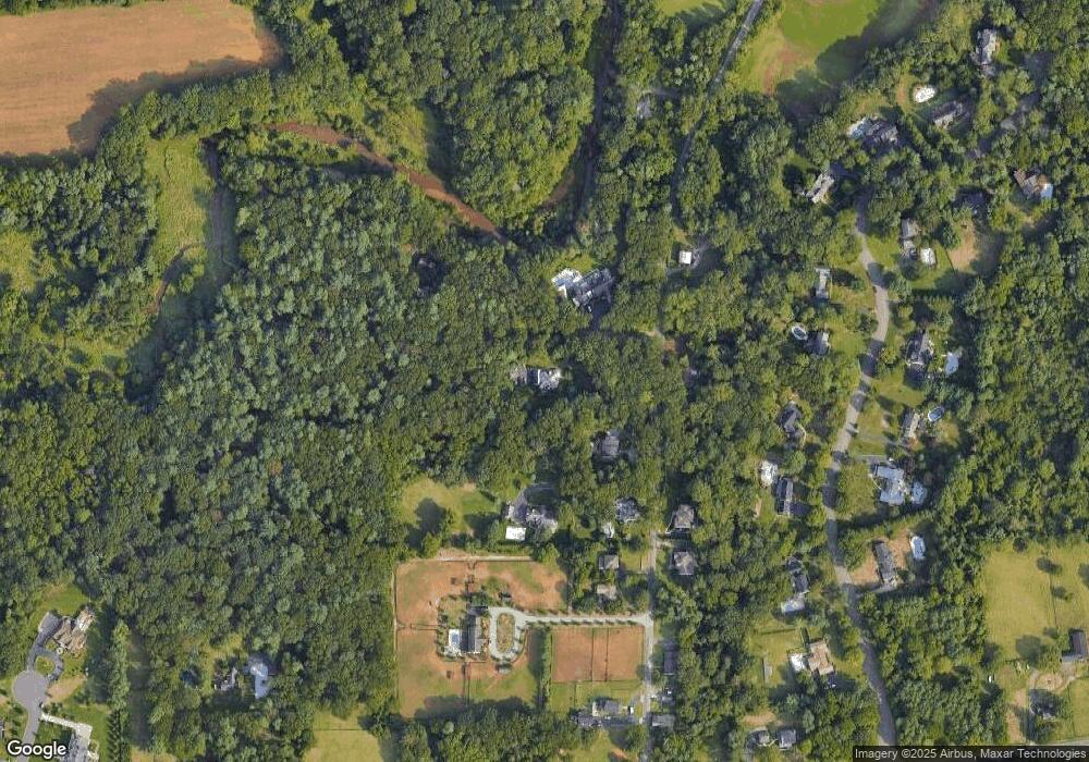
Map
Nearby Homes
- 249 County Road 537
- 233-237 County Road 537
- 30 Raven Rd
- 4 Rivers Edge Dr
- 4 Country Club Ln
- 131 County Road 537
- 98 Hockhockson Rd
- 680 State Route 34
- 144 Hockhockson Rd
- 784 State Route 34
- 152 Bucks Mill Rd
- 0 Hominy Hill Rd
- 25 Water St
- 247 Lakeside Ave
- 5 Ramapo Ct
- 55 Crine Rd
- 7 Koala Ct
- 53 Montrose Rd
- 1 Harvard Dr
- 1 E Point Rd
- 37 Muhlenbrink Rd
- 43 Muhlenbrink Rd
- 40 Muhlenbrink Rd
- 33 Muhlenbrink Rd
- 33A Muhlenbrink Rd
- 33 Muhlenbrink Rd Unit A
- 28 Muhlenbrink Rd
- 41 Muhlenbrink Rd
- 29 Muhlenbrink Rd
- 46 Muhlenbrink Rd
- 25 Muhlenbrink Rd
- 17 N Point Dr
- 22 Muhlenbrink Rd
- 13 N Point Dr
- 21 N Point Dr
- 17 Muhlenbrink Rd
- 21 Muhlenbrink Rd
- 25 N Point Dr
- 49 Muhlenbrink Rd
- 16 Muhlenbrink Rd
Your Personal Tour Guide
Ask me questions while you tour the home.