39 Myrtle Ave Branchville, NJ 07826
Estimated Value: $293,000 - $375,000
2
Beds
2
Baths
920
Sq Ft
$366/Sq Ft
Est. Value
About This Home
This home is located at 39 Myrtle Ave, Branchville, NJ 07826 and is currently estimated at $336,313, approximately $365 per square foot. 39 Myrtle Ave is a home located in Sussex County with nearby schools including Frankford Township School and High Point Regional High School.
Ownership History
Date
Name
Owned For
Owner Type
Purchase Details
Closed on
Oct 26, 1998
Sold by
Mahaffey Diana
Bought by
Howey George and Howey Barbara
Current Estimated Value
Home Financials for this Owner
Home Financials are based on the most recent Mortgage that was taken out on this home.
Original Mortgage
$88,000
Outstanding Balance
$19,462
Interest Rate
6.74%
Estimated Equity
$316,851
Create a Home Valuation Report for This Property
The Home Valuation Report is an in-depth analysis detailing your home's value as well as a comparison with similar homes in the area
Home Values in the Area
Average Home Value in this Area
Purchase History
| Date | Buyer | Sale Price | Title Company |
|---|---|---|---|
| Howey George | $101,000 | -- |
Source: Public Records
Mortgage History
| Date | Status | Borrower | Loan Amount |
|---|---|---|---|
| Open | Howey George | $88,000 |
Source: Public Records
Tax History Compared to Growth
Tax History
| Year | Tax Paid | Tax Assessment Tax Assessment Total Assessment is a certain percentage of the fair market value that is determined by local assessors to be the total taxable value of land and additions on the property. | Land | Improvement |
|---|---|---|---|---|
| 2025 | $4,268 | $143,500 | $101,900 | $41,600 |
| 2024 | $4,140 | $143,500 | $101,900 | $41,600 |
| 2023 | $4,140 | $143,500 | $101,900 | $41,600 |
| 2022 | $4,040 | $143,500 | $101,900 | $41,600 |
| 2021 | $3,918 | $143,500 | $101,900 | $41,600 |
| 2020 | $3,806 | $143,500 | $101,900 | $41,600 |
| 2019 | $3,698 | $143,500 | $101,900 | $41,600 |
| 2018 | $3,664 | $143,500 | $101,900 | $41,600 |
| 2017 | $3,651 | $143,500 | $101,900 | $41,600 |
| 2016 | $3,697 | $143,500 | $101,900 | $41,600 |
| 2015 | $3,678 | $143,500 | $101,900 | $41,600 |
| 2014 | $3,763 | $143,500 | $101,900 | $41,600 |
Source: Public Records
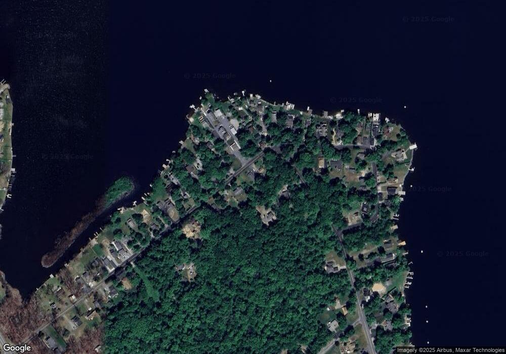
Map
Nearby Homes
- 7 Laurel Ave
- 39 Stehr St
- 15 Forest St
- 9 Maple Ln
- 19 E Shore Lake Owassa Rd
- 1 Lakeview Point Ave
- 25 E Shore Lake Owassa Rd
- 11 Perry Trail
- 461 U S Highway 206
- 26 Mill Ln
- 30 - 31 E Shore Culver Rd
- 13 U S 206
- 4 Lake Path 1
- 27 Mountain Trail
- 127 E Shore Culver Rd
- 57 E Shore Trail
- 196 W Owassa Turnpike
- 116 W Owassa Turnpike
- 64 Mattison Rd
- 10 Main St
- 41 Myrtle Ave
- 37 Myrtle Ave
- 14 Woodlawn Ave
- 70 Lakeview Point Ave
- 68 Lakeview Point Ave
- 35 Myrtle Ave
- 52 Myrtle Ave
- 50B Myrtle Ave
- 56 Myrtle Ave
- 50 Myrtle Ave
- 50 Myrtle Ave
- 33 Myrtle Ave
- 72 Lakeview Point Ave
- 50C Myrtle Ave
- 89 Lakeview Point Ave
- 46 Myrtle Ave
- 44 Myrtle Ave
- 42 Myrtle Ave
- 74 Lakeview Point Ave
- 40 Myrtle Ave