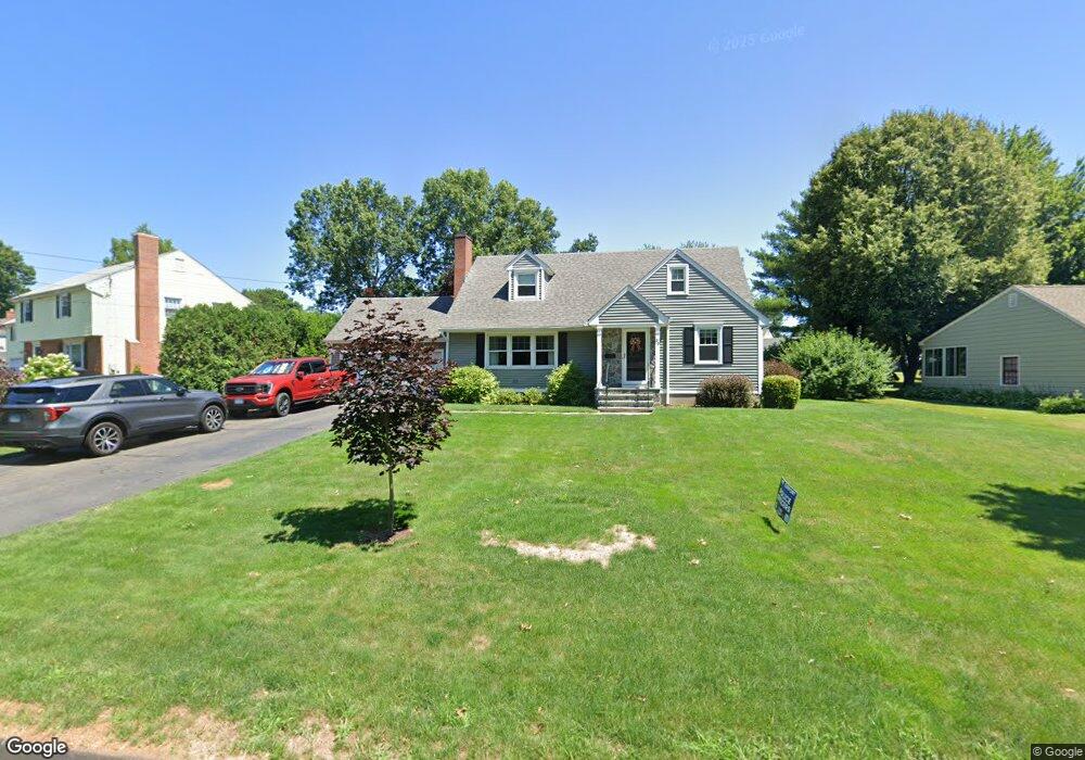
39 Ox Yoke Dr Wethersfield, CT 06109
Estimated Value: $463,000 - $534,000
3
Beds
2
Baths
1,822
Sq Ft
$273/Sq Ft
Est. Value
About This Home
This home is located at 39 Ox Yoke Dr, Wethersfield, CT 06109 and is currently estimated at $497,765, approximately $273 per square foot. 39 Ox Yoke Dr is a home located in Hartford County with nearby schools including Alfred W. Hanmer School, Silas Deane Middle School, and Wethersfield High School.
Ownership History
Date
Name
Owned For
Owner Type
Purchase Details
Closed on
Aug 14, 2000
Sold by
Avery Beatrice D and Avery Thomas
Bought by
Avery Thomas G and Avery Linda D
Current Estimated Value
Home Financials for this Owner
Home Financials are based on the most recent Mortgage that was taken out on this home.
Original Mortgage
$100,000
Interest Rate
8.21%
Create a Home Valuation Report for This Property
The Home Valuation Report is an in-depth analysis detailing your home's value as well as a comparison with similar homes in the area
Home Values in the Area
Average Home Value in this Area
Purchase History
| Date | Buyer | Sale Price | Title Company |
|---|---|---|---|
| Avery Thomas G | $190,000 | -- |
Source: Public Records
Mortgage History
| Date | Status | Borrower | Loan Amount |
|---|---|---|---|
| Closed | Avery Thomas G | $27,000 | |
| Closed | Avery Thomas G | $55,000 | |
| Open | Avery Thomas G | $400,000 | |
| Closed | Avery Thomas G | $100,000 |
Source: Public Records
Tax History Compared to Growth
Tax History
| Year | Tax Paid | Tax Assessment Tax Assessment Total Assessment is a certain percentage of the fair market value that is determined by local assessors to be the total taxable value of land and additions on the property. | Land | Improvement |
|---|---|---|---|---|
| 2025 | $12,629 | $306,390 | $105,560 | $200,830 |
| 2024 | $8,509 | $196,880 | $79,900 | $116,980 |
| 2023 | $8,226 | $196,880 | $79,900 | $116,980 |
| 2022 | $8,088 | $196,880 | $79,900 | $116,980 |
| 2021 | $8,007 | $196,880 | $79,900 | $116,980 |
| 2020 | $8,011 | $196,880 | $79,900 | $116,980 |
| 2019 | $8,021 | $196,880 | $79,900 | $116,980 |
| 2018 | $8,079 | $198,100 | $77,800 | $120,300 |
| 2017 | $7,878 | $198,100 | $77,800 | $120,300 |
| 2016 | $7,635 | $198,100 | $77,800 | $120,300 |
| 2015 | $7,565 | $198,100 | $77,800 | $120,300 |
| 2014 | $7,278 | $198,100 | $77,800 | $120,300 |
Source: Public Records
Map
Nearby Homes
- 155 Prospect St
- 206 Middletown Ave
- 177 Spring St Unit 177
- 159 Spring St Unit 159
- 89 Longvue Dr
- 48 Sharon Ln
- 108 Chamberlain Rd
- 43 Dudley Rd
- 373 Prospect St
- 140 Edward St
- 35 Stillwold Dr
- 231 Charter Rd
- 122 Dix Rd
- 34 Clayton Dr
- 37 Two Stone Dr
- 88 Highland St
- 51 Olney Rd
- 442 Wolcott Hill Rd
- 373 Wells Rd
- 876 Ridge Rd