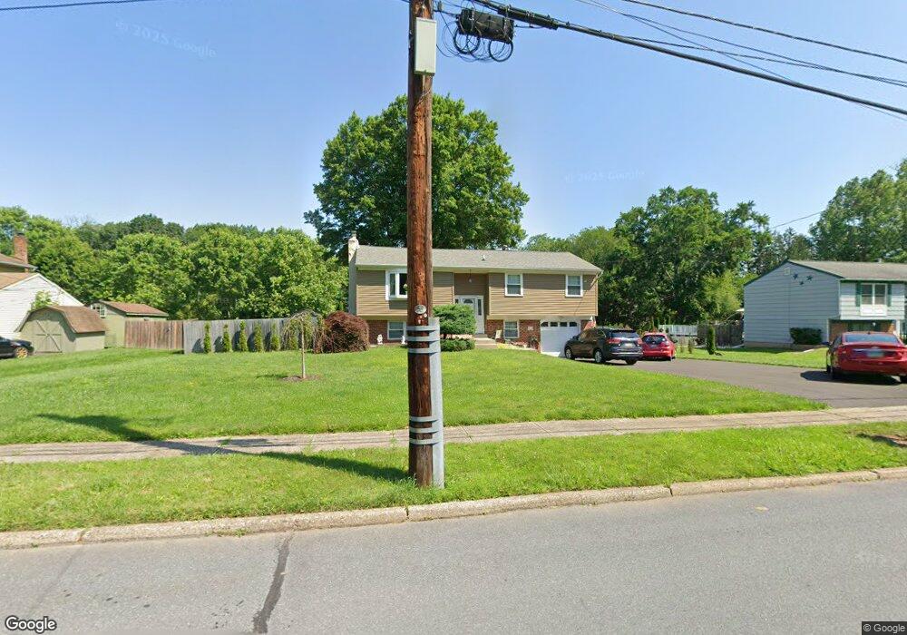
39 Pawnee Rd Doylestown, PA 18901
Estimated Value: $430,000 - $519,000
3
Beds
2
Baths
1,032
Sq Ft
$470/Sq Ft
Est. Value
About This Home
This home is located at 39 Pawnee Rd, Doylestown, PA 18901 and is currently estimated at $484,778, approximately $469 per square foot. 39 Pawnee Rd is a home located in Bucks County with nearby schools including Pine Run Elementary School, Tohickon Middle School, and Central Bucks High School-West.
Ownership History
Date
Name
Owned For
Owner Type
Purchase Details
Closed on
May 10, 2007
Sold by
Pelino Karen E
Bought by
Rapp Robert A and Rapp Mary A
Current Estimated Value
Home Financials for this Owner
Home Financials are based on the most recent Mortgage that was taken out on this home.
Original Mortgage
$255,000
Outstanding Balance
$155,700
Interest Rate
6.24%
Mortgage Type
Purchase Money Mortgage
Estimated Equity
$329,078
Purchase Details
Closed on
Mar 17, 2006
Sold by
Budenz David F
Bought by
Budenz Mary Jane
Create a Home Valuation Report for This Property
The Home Valuation Report is an in-depth analysis detailing your home's value as well as a comparison with similar homes in the area
Home Values in the Area
Average Home Value in this Area
Purchase History
| Date | Buyer | Sale Price | Title Company |
|---|---|---|---|
| Rapp Robert A | $285,000 | None Available | |
| Budenz Mary Jane | -- | None Available |
Source: Public Records
Mortgage History
| Date | Status | Borrower | Loan Amount |
|---|---|---|---|
| Open | Rapp Robert A | $255,000 |
Source: Public Records
Tax History Compared to Growth
Tax History
| Year | Tax Paid | Tax Assessment Tax Assessment Total Assessment is a certain percentage of the fair market value that is determined by local assessors to be the total taxable value of land and additions on the property. | Land | Improvement |
|---|---|---|---|---|
| 2025 | $6,200 | $30,790 | $6,680 | $24,110 |
| 2024 | $6,200 | $30,790 | $6,680 | $24,110 |
| 2023 | $4,796 | $25,600 | $6,680 | $18,920 |
| 2022 | $4,692 | $25,600 | $6,680 | $18,920 |
| 2021 | $4,606 | $25,600 | $6,680 | $18,920 |
| 2020 | $4,606 | $25,600 | $6,680 | $18,920 |
| 2019 | $4,504 | $25,600 | $6,680 | $18,920 |
| 2018 | $4,504 | $25,600 | $6,680 | $18,920 |
| 2017 | $4,472 | $25,600 | $6,680 | $18,920 |
| 2016 | $4,472 | $25,600 | $6,680 | $18,920 |
| 2015 | -- | $25,600 | $6,680 | $18,920 |
| 2014 | -- | $25,600 | $6,680 | $18,920 |
Source: Public Records
Map
Nearby Homes
- 218 Keeley Ave
- 158 W Butler Ave
- 2 W Butler Ave
- 179 Almshouse Rd
- 34 Warren Dr Unit 16
- 32 Warren Dr Unit 15
- 30 Warren Dr Unit 14
- 60 Becker Dr Unit 27
- 62 Becker Dr Unit 28
- 58 Becker Dr Unit 26
- 64 Becker Dr Unit 29
- 79 Becker Dr
- The Hamilton Plan at The Reserve at Chalfont
- The Jordan Plan at The Reserve at Chalfont
- 12 Warren Dr
- 60 Cedar Dr
- 1075 Patrick Place Unit 75
- 13 Cedar Crest Ct
- 1 Elizabeth Ln
- 40 E Butler Ave