39 Pear Tree Ln Franklin Park, NJ 08823
Estimated Value: $410,000 - $446,000
2
Beds
3
Baths
1,656
Sq Ft
$260/Sq Ft
Est. Value
About This Home
This home is located at 39 Pear Tree Ln, Franklin Park, NJ 08823 and is currently estimated at $431,103, approximately $260 per square foot. 39 Pear Tree Ln is a home located in Somerset County with nearby schools including Franklin High School, St. Augustine of Canterbury School, and Cheder Menachem.
Ownership History
Date
Name
Owned For
Owner Type
Purchase Details
Closed on
Feb 13, 2007
Sold by
Fairfield Brendan and Fairfield Kelly
Bought by
Obando Walter E and Mendez Luz A
Current Estimated Value
Home Financials for this Owner
Home Financials are based on the most recent Mortgage that was taken out on this home.
Original Mortgage
$53,100
Interest Rate
6%
Mortgage Type
Stand Alone Second
Purchase Details
Closed on
Apr 1, 2004
Sold by
Baisley James
Bought by
Fairfield Brendan and Weaver Kelly
Purchase Details
Closed on
Jan 14, 2000
Sold by
Callaghan Steven
Bought by
Prestia Michael
Home Financials for this Owner
Home Financials are based on the most recent Mortgage that was taken out on this home.
Original Mortgage
$117,800
Interest Rate
7.84%
Mortgage Type
FHA
Purchase Details
Closed on
Nov 1, 1989
Sold by
Beers Thomas M and Beers Robin L
Bought by
Callaghan Steven M and Callaghan Jeremiah J
Create a Home Valuation Report for This Property
The Home Valuation Report is an in-depth analysis detailing your home's value as well as a comparison with similar homes in the area
Home Values in the Area
Average Home Value in this Area
Purchase History
| Date | Buyer | Sale Price | Title Company |
|---|---|---|---|
| Obando Walter E | $265,500 | None Available | |
| Fairfield Brendan | $230,000 | -- | |
| Prestia Michael | $124,000 | -- | |
| Callaghan Steven M | $128,000 | -- |
Source: Public Records
Mortgage History
| Date | Status | Borrower | Loan Amount |
|---|---|---|---|
| Closed | Obando Walter E | $53,100 | |
| Open | Obando Walter E | $212,400 | |
| Previous Owner | Prestia Michael | $117,800 |
Source: Public Records
Tax History Compared to Growth
Tax History
| Year | Tax Paid | Tax Assessment Tax Assessment Total Assessment is a certain percentage of the fair market value that is determined by local assessors to be the total taxable value of land and additions on the property. | Land | Improvement |
|---|---|---|---|---|
| 2025 | $5,880 | $385,900 | $145,000 | $240,900 |
| 2024 | $5,880 | $326,100 | $145,000 | $181,100 |
| 2023 | $5,883 | $306,100 | $125,000 | $181,100 |
| 2022 | $5,397 | $266,100 | $85,000 | $181,100 |
| 2021 | $5,321 | $241,100 | $60,000 | $181,100 |
| 2020 | $5,221 | $231,100 | $50,000 | $181,100 |
| 2019 | $5,285 | $231,100 | $50,000 | $181,100 |
| 2018 | $5,338 | $231,100 | $50,000 | $181,100 |
| 2017 | $5,359 | $231,100 | $50,000 | $181,100 |
| 2016 | $5,288 | $226,100 | $45,000 | $181,100 |
| 2015 | $5,252 | $226,100 | $45,000 | $181,100 |
| 2014 | $5,173 | $226,100 | $45,000 | $181,100 |
Source: Public Records
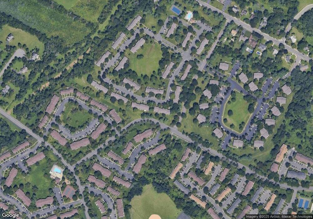
Map
Nearby Homes
- 75 Pear Tree Ln Unit 10C
- 44 Crabapple Ln
- 65 Townsend Ct Unit 213
- 65 Townsend Ct
- 130 Lindsey Ct
- 1 Lyon La
- 1 Lyon Ln
- 205 Rachel Ct
- 89 Lindsey Ct Unit 4021
- 167 Rachel Ct
- 69 Fisher Dr
- 139 Rachel Ct Unit D1
- 147 Rachel Ct
- 107 Rachel Ct
- 124 Edward Dr
- 8 Amethyst Way
- 21 Gregory Ln Unit F1
- 93 Gregory La Ln
- 93 Gregory Ln
- 22 Arthur Glick Blvd Unit 2506
- 38 Pear Tree Ln
- 40 Pear Tree Ln
- 37 Pear Tree Ln Unit 5E
- 36 Pear Tree Ln Unit 5D
- 35 Pear Tree Ln
- 41 Pear Tree Ln
- 34 Pear Tree Ln
- 42 Pear Tree Ln
- 42 Pear Tree Ln Unit 62
- 33 Pear Tree Ln Unit 5
- 43 Pear Tree Ln
- 44 Pear Tree Ln
- 31 Pear Tree Ln
- 32 Pear Tree Ln
- 30 Pear Tree Ln
- 45 Pear Tree Ln Unit 6E
- 29 Pear Tree Ln Unit 4E
- 28 Pear Tree Ln
- 24 Pear Tree Ln
- 46 Pear Tree Ln Unit 1