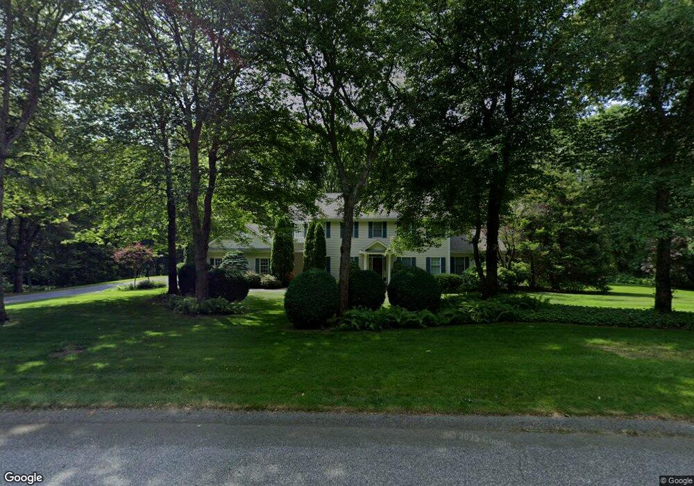
39 Pheasant Run Saunderstown, RI 02874
Saunderstown NeighborhoodEstimated Value: $1,074,891 - $1,469,000
4
Beds
3
Baths
3,192
Sq Ft
$388/Sq Ft
Est. Value
About This Home
This home is located at 39 Pheasant Run, Saunderstown, RI 02874 and is currently estimated at $1,237,973, approximately $387 per square foot. 39 Pheasant Run is a home located in Washington County with nearby schools including Hamilton Elementary School, Wickford Middle School, and North Kingstown Sr. High School.
Ownership History
Date
Name
Owned For
Owner Type
Purchase Details
Closed on
Jul 1, 1999
Sold by
Sammartino Llc Builder
Bought by
Mathews Robert S and Mathews Cynthia J
Current Estimated Value
Home Financials for this Owner
Home Financials are based on the most recent Mortgage that was taken out on this home.
Original Mortgage
$328,000
Interest Rate
7.19%
Create a Home Valuation Report for This Property
The Home Valuation Report is an in-depth analysis detailing your home's value as well as a comparison with similar homes in the area
Home Values in the Area
Average Home Value in this Area
Purchase History
| Date | Buyer | Sale Price | Title Company |
|---|---|---|---|
| Mathews Robert S | $412,000 | -- |
Source: Public Records
Mortgage History
| Date | Status | Borrower | Loan Amount |
|---|---|---|---|
| Open | Mathews Robert S | $214,500 | |
| Closed | Mathews Robert S | $249,900 | |
| Closed | Mathews Robert S | $311,000 | |
| Closed | Mathews Robert S | $328,000 | |
| Closed | Mathews Robert S | $21,000 |
Source: Public Records
Tax History Compared to Growth
Tax History
| Year | Tax Paid | Tax Assessment Tax Assessment Total Assessment is a certain percentage of the fair market value that is determined by local assessors to be the total taxable value of land and additions on the property. | Land | Improvement |
|---|---|---|---|---|
| 2025 | $11,670 | $1,057,100 | $426,800 | $630,300 |
| 2024 | $10,580 | $737,800 | $273,100 | $464,700 |
| 2023 | $10,580 | $737,800 | $273,100 | $464,700 |
| 2022 | $10,373 | $737,800 | $273,100 | $464,700 |
| 2021 | $10,404 | $594,500 | $202,800 | $391,700 |
| 2020 | $10,160 | $594,500 | $202,800 | $391,700 |
| 2019 | $10,160 | $594,500 | $202,800 | $391,700 |
| 2018 | $10,344 | $545,300 | $202,800 | $342,500 |
| 2017 | $10,137 | $545,300 | $202,800 | $342,500 |
| 2016 | $9,848 | $545,300 | $202,800 | $342,500 |
| 2015 | $9,909 | $513,400 | $202,800 | $310,600 |
| 2014 | $9,708 | $513,400 | $202,800 | $310,600 |
Source: Public Records
Map
Nearby Homes
- 331 Congdon Hill Rd
- 215 Finch Ln
- 210 Explorer Dr
- 158 Explorer Dr
- 168 Explorer Dr
- 202 Explorer Dr
- 212 Orchard Woods Dr
- 371 Glen Hill Dr
- 74 Woodhaven Rd
- 150 Delta Dr
- 75 Hickory Dr
- 47 Shady Lea Rd
- 38 Greenwood Rd
- 84 Cardinal Dr
- 470 Sylvan Ct
- 449 Sylvan Ct
- 0 W Allenton Rd
- 48 Fieldstone Ln
- 2180 Tower Hill Rd
- 76 W Allenton Rd
- 106 Mourning Dove Dr
- 63 Pheasant Run
- 19 Pheasant Run
- 50 Pheasant Run
- 116 Mourning Dove Dr
- 16 Pheasant Run
- 15 Dusty Way
- 15 Dusty Way
- 96 Mourning Dove Dr
- 85 Pheasant Run
- 88 Mourning Dove Dr
- 92 Mourning Dove Dr
- 37 Haggarty Hill Rd
- 591 Congdon Hill Rd
- 23 Haggarty Hill Rd
- 82 Pheasant Run
- 53 Haggarty Hill Rd
- 542 Congdon Hill Rd
- 35 Shirley Ln
- 559 Congdon Hill Rd