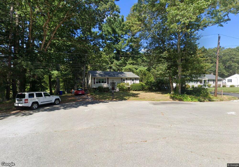
39 Pinecrest Dr Taunton, MA 02780
Oakland NeighborhoodEstimated Value: $506,067 - $553,000
3
Beds
2
Baths
1,772
Sq Ft
$297/Sq Ft
Est. Value
About This Home
This home is located at 39 Pinecrest Dr, Taunton, MA 02780 and is currently estimated at $527,017, approximately $297 per square foot. 39 Pinecrest Dr is a home located in Bristol County with nearby schools including Benjamin Friedman Middle School, Joseph C. Chamberlain Elementary School, and Taunton High School.
Ownership History
Date
Name
Owned For
Owner Type
Purchase Details
Closed on
Apr 15, 1998
Sold by
Mondillo Gregory
Bought by
Gomes Jennifer C and Fountain Claude A
Current Estimated Value
Home Financials for this Owner
Home Financials are based on the most recent Mortgage that was taken out on this home.
Original Mortgage
$110,106
Interest Rate
7.11%
Mortgage Type
Purchase Money Mortgage
Create a Home Valuation Report for This Property
The Home Valuation Report is an in-depth analysis detailing your home's value as well as a comparison with similar homes in the area
Home Values in the Area
Average Home Value in this Area
Purchase History
| Date | Buyer | Sale Price | Title Company |
|---|---|---|---|
| Gomes Jennifer C | $120,000 | -- | |
| Mondillo Gregory | $115,000 | -- |
Source: Public Records
Mortgage History
| Date | Status | Borrower | Loan Amount |
|---|---|---|---|
| Open | Mondillo Gregory | $120,000 | |
| Closed | Mondillo Gregory | $110,106 |
Source: Public Records
Tax History
| Year | Tax Paid | Tax Assessment Tax Assessment Total Assessment is a certain percentage of the fair market value that is determined by local assessors to be the total taxable value of land and additions on the property. | Land | Improvement |
|---|---|---|---|---|
| 2025 | $4,516 | $412,800 | $145,300 | $267,500 |
| 2024 | $4,312 | $385,300 | $145,300 | $240,000 |
| 2023 | $4,248 | $352,500 | $138,700 | $213,800 |
| 2022 | $4,223 | $320,400 | $126,600 | $193,800 |
| 2021 | $3,993 | $281,200 | $115,100 | $166,100 |
| 2020 | $3,927 | $264,300 | $115,100 | $149,200 |
| 2019 | $4,110 | $260,800 | $120,900 | $139,900 |
| 2018 | $3,954 | $251,500 | $122,000 | $129,500 |
| 2017 | $3,695 | $235,200 | $116,300 | $118,900 |
| 2016 | $3,562 | $227,200 | $112,800 | $114,400 |
| 2015 | $3,400 | $226,500 | $112,800 | $113,700 |
| 2014 | $3,287 | $225,000 | $112,800 | $112,200 |
Source: Public Records
Map
Nearby Homes
- 169 Powderhorn Dr
- 0 Shagbark Rd
- 305 Shag Bark Rd
- 22 Thayer Dr
- 17 Barry Dr
- Lot 6 Tremont St
- 49 Eastbridge Rd
- 193 Fremont St
- 111 Dunbar St
- 2 Norton Ave
- 17 Davis St
- 849 Crane Ave S
- 109 Partridge Cir
- 38 Alcott Cir Unit N4
- 81 Alcott Cir Unit T5
- 193 Tremont St Unit 85
- 750 Whittenton St Unit 221
- 39 Heritage Way
- 68 Fremont St
- 563 Whittenton St
- 35 Pinecrest Dr
- 40 Pinecrest Dr
- 31 Pinecrest Dr
- 36 Pinecrest Dr
- 32 Pinecrest Dr
- 28 Pinecrest Dr
- 23 Pinecrest Dr
- 24 Pinecrest Dr
- 70 River Pines Dr
- 19 Pinecrest Dr
- 126 Harvest Wood Dr
- 75 River Pines Dr
- 3 Evergreen Dr
- 110 Harvest Wood Dr
- 15 Pinecrest Dr
- 96 Harvest Wood Dr
- 810 Norton Ave
- 65 River Pines Dr
- 13 Evergreen Dr
- 129 Harvest Wood Dr
Your Personal Tour Guide
Ask me questions while you tour the home.