39 Pond Ln Appleton, ME 04862
Estimated Value: $294,192 - $472,000
2
Beds
2
Baths
500
Sq Ft
$760/Sq Ft
Est. Value
About This Home
This home is located at 39 Pond Ln, Appleton, ME 04862 and is currently estimated at $380,048, approximately $760 per square foot. 39 Pond Ln is a home located in Knox County with nearby schools including Appleton Village School and Camden Hills Regional High School.
Ownership History
Date
Name
Owned For
Owner Type
Purchase Details
Closed on
Mar 8, 2024
Sold by
Murray Catrina A
Bought by
Obers Llc
Current Estimated Value
Purchase Details
Closed on
Aug 31, 2023
Sold by
Ober David L Est and Murray
Bought by
Murray Catrina A
Purchase Details
Closed on
Jun 9, 2008
Sold by
Poland Joyce E and Poland Orman A
Bought by
Ober David O
Create a Home Valuation Report for This Property
The Home Valuation Report is an in-depth analysis detailing your home's value as well as a comparison with similar homes in the area
Home Values in the Area
Average Home Value in this Area
Purchase History
| Date | Buyer | Sale Price | Title Company |
|---|---|---|---|
| Obers Llc | -- | None Available | |
| Murray Catrina A | -- | None Available | |
| Ober David O | -- | -- |
Source: Public Records
Tax History
| Year | Tax Paid | Tax Assessment Tax Assessment Total Assessment is a certain percentage of the fair market value that is determined by local assessors to be the total taxable value of land and additions on the property. | Land | Improvement |
|---|---|---|---|---|
| 2025 | $4,276 | $157,800 | $103,200 | $54,600 |
| 2024 | $3,827 | $157,800 | $103,200 | $54,600 |
| 2023 | $3,393 | $157,800 | $103,200 | $54,600 |
| 2022 | $3,393 | $157,800 | $103,200 | $54,600 |
| 2021 | $3,598 | $157,800 | $103,200 | $54,600 |
| 2020 | $380 | $157,800 | $103,200 | $54,600 |
| 2019 | $3,878 | $157,800 | $103,200 | $54,600 |
| 2018 | $3,598 | $157,800 | $103,200 | $54,600 |
| 2017 | $3,424 | $157,800 | $103,200 | $54,600 |
| 2016 | $3,227 | $157,800 | $103,200 | $54,600 |
| 2015 | $3,079 | $158,290 | $103,240 | $55,050 |
| 2014 | $2,691 | $158,290 | $103,240 | $55,050 |
| 2013 | $2,636 | $158,290 | $103,240 | $55,050 |
Source: Public Records
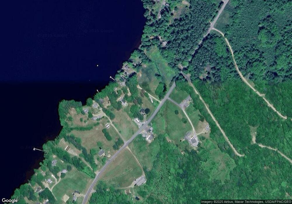
Map
Nearby Homes
- 00 W Appleton Rd
- Lot #26 Sennebec Rd
- 425 Sennebec Rd
- 453 Union Rd
- 35-3 Jones Hill Rd
- 79 Peabody Rd
- 20 Searsmont Rd
- 1583 Appleton Ridge Rd
- 2529 Heald Hwy
- 84 Annis Ln
- 23 Bonnie Ln
- 603 Shepard Hill Rd
- 21 Shepard Hill Rd
- 32 Pound Hill Rd
- 261 S Union Rd
- 122 Oak Point Ln
- 33 Robbins Rd
- 15-14 Crabtree Rd
- 163 Main St
- TBD Brookside Ln
- 32 Pond Ln
- 43 Lilly Ln
- 32 Lilly Ln
- 33 Lilly Ln
- 1406 Sennebec Rd
- 1346 Sennebec Rd
- 47 Pond Ln
- 1324 Sennebec Rd
- 0 Sennebec Rd Unit 1552942
- 0 Sennebec Rd Unit 868480
- 0 Sennebec Rd Unit 761777
- 0 Sennebec Rd Unit 731120
- 0 Sennebec Rd Unit 278882
- 0 Sennebec Rd Unit 267383
- 0 Sennebec Rd Unit 249920
- 0 Sennebec Rd Unit 508745
- 0 Sennebec Rd Unit 880414
- 0 Sennebec Rd Unit 886566
- 0 Sennebec Rd Unit 925434
- 0 Sennebec Rd Unit 46 925432
Your Personal Tour Guide
Ask me questions while you tour the home.