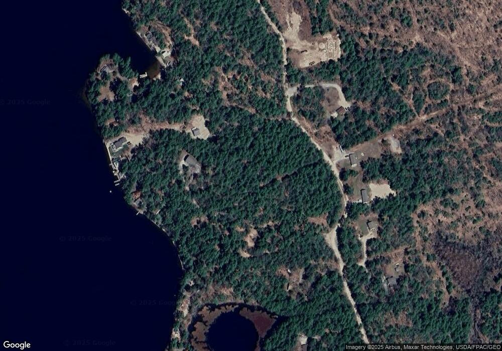
39 Port Side Shapleigh, ME 04076
Shapleigh NeighborhoodEstimated Value: $510,000
--
Bed
--
Bath
2,160
Sq Ft
$236/Sq Ft
Est. Value
About This Home
This home is located at 39 Port Side, Shapleigh, ME 04076 and is currently estimated at $510,000, approximately $236 per square foot. 39 Port Side is a home with nearby schools including Massabesic High School.
Ownership History
Date
Name
Owned For
Owner Type
Purchase Details
Closed on
Dec 21, 2016
Sold by
Eastman Stephen E
Bought by
Eastman Stephen E and Hollidge Helyn C
Current Estimated Value
Home Financials for this Owner
Home Financials are based on the most recent Mortgage that was taken out on this home.
Original Mortgage
$224,000
Interest Rate
2.88%
Mortgage Type
New Conventional
Create a Home Valuation Report for This Property
The Home Valuation Report is an in-depth analysis detailing your home's value as well as a comparison with similar homes in the area
Home Values in the Area
Average Home Value in this Area
Purchase History
| Date | Buyer | Sale Price | Title Company |
|---|---|---|---|
| Eastman Stephen E | -- | -- | |
| Eastman Stephen E | -- | -- | |
| Eastman Stephen E | -- | -- |
Source: Public Records
Mortgage History
| Date | Status | Borrower | Loan Amount |
|---|---|---|---|
| Closed | Eastman Stephen E | $224,000 |
Source: Public Records
Tax History Compared to Growth
Tax History
| Year | Tax Paid | Tax Assessment Tax Assessment Total Assessment is a certain percentage of the fair market value that is determined by local assessors to be the total taxable value of land and additions on the property. | Land | Improvement |
|---|---|---|---|---|
| 2024 | $3,509 | $291,193 | $91,444 | $199,749 |
| 2023 | $3,087 | $291,193 | $91,444 | $199,749 |
| 2022 | $2,999 | $291,193 | $91,444 | $199,749 |
| 2021 | $2,985 | $291,193 | $91,444 | $199,749 |
| 2020 | $2,985 | $291,193 | $91,444 | $199,749 |
| 2019 | $2,956 | $291,193 | $91,444 | $199,749 |
| 2018 | $3,195 | $289,103 | $138,828 | $150,275 |
| 2017 | $3,088 | $289,103 | $138,828 | $150,275 |
| 2016 | $2,978 | $289,103 | $138,828 | $150,275 |
| 2015 | $2,891 | $289,103 | $138,828 | $150,275 |
| 2014 | $2,790 | $289,103 | $138,828 | $150,275 |
Source: Public Records
Map
Nearby Homes