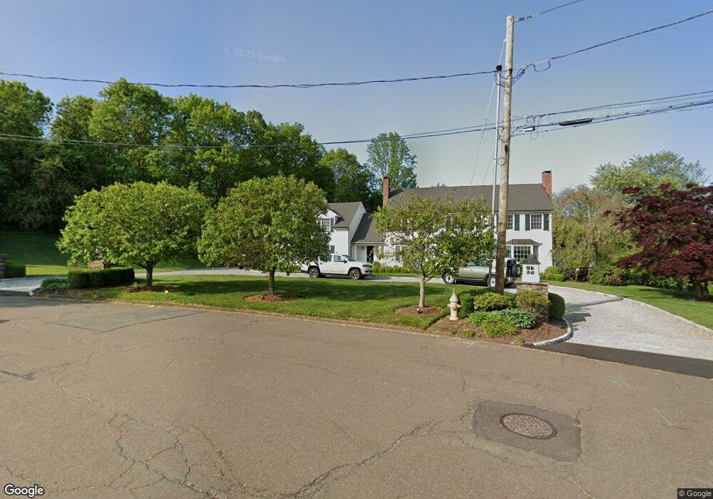
39 Puritan Rd Trumbull, CT 06611
Trumbull Center NeighborhoodEstimated Value: $1,049,991 - $1,245,000
4
Beds
5
Baths
4,349
Sq Ft
$263/Sq Ft
Est. Value
About This Home
This home is located at 39 Puritan Rd, Trumbull, CT 06611 and is currently estimated at $1,145,748, approximately $263 per square foot. 39 Puritan Rd is a home located in Fairfield County with nearby schools including Booth Hill School, Hillcrest Middle School, and Trumbull High School.
Ownership History
Date
Name
Owned For
Owner Type
Purchase Details
Closed on
Jun 17, 2019
Sold by
Iaccarino Jennifer
Bought by
Iaccarino Michael and Iaccarino Jennifer
Current Estimated Value
Purchase Details
Closed on
Nov 24, 2014
Sold by
Iaccarino Jennifer
Bought by
23 Twitch Grass Rd Llc
Purchase Details
Closed on
Dec 21, 2009
Sold by
Iaccarino Michael J and Iaccarino Jennifer L
Bought by
Iaccarino Jennifer L
Purchase Details
Closed on
Mar 31, 2005
Sold by
Babcock-Martinez Linda
Bought by
Iaccarino Michael J and Iaccarino Jennfier L
Purchase Details
Closed on
May 29, 1997
Sold by
Briganti Marta and Briganti Julia
Bought by
Babcock-Martinez Linda
Create a Home Valuation Report for This Property
The Home Valuation Report is an in-depth analysis detailing your home's value as well as a comparison with similar homes in the area
Home Values in the Area
Average Home Value in this Area
Purchase History
| Date | Buyer | Sale Price | Title Company |
|---|---|---|---|
| Iaccarino Michael | -- | -- | |
| 23 Twitch Grass Rd Llc | $160,000 | -- | |
| Hierts Kara | -- | -- | |
| Iaccarino Jennifer L | -- | -- | |
| Iaccarino Michael J | $750,000 | -- | |
| Babcock-Martinez Linda | $292,000 | -- |
Source: Public Records
Mortgage History
| Date | Status | Borrower | Loan Amount |
|---|---|---|---|
| Previous Owner | Babcock-Martinez Linda | $499,000 | |
| Previous Owner | Babcock-Martinez Linda | $625,000 |
Source: Public Records
Tax History Compared to Growth
Tax History
| Year | Tax Paid | Tax Assessment Tax Assessment Total Assessment is a certain percentage of the fair market value that is determined by local assessors to be the total taxable value of land and additions on the property. | Land | Improvement |
|---|---|---|---|---|
| 2025 | $19,150 | $518,140 | $155,470 | $362,670 |
| 2024 | $18,600 | $518,140 | $155,470 | $362,670 |
| 2023 | $18,317 | $518,140 | $155,470 | $362,670 |
| 2022 | $18,034 | $518,140 | $155,470 | $362,670 |
| 2021 | $17,160 | $477,260 | $159,320 | $317,940 |
| 2020 | $17,160 | $477,260 | $159,320 | $317,940 |
| 2018 | $16,785 | $477,260 | $159,320 | $317,940 |
| 2017 | $16,465 | $477,260 | $159,320 | $317,940 |
| 2016 | $16,157 | $477,260 | $159,320 | $317,940 |
| 2015 | $16,065 | $476,700 | $165,400 | $311,300 |
| 2014 | $15,722 | $476,700 | $165,400 | $311,300 |
Source: Public Records
Map
Nearby Homes
- 0 Lot #4 & Lot #5 W Mischa Rd Unit 24138429
- 401 Unity Rd
- 2921 Nichols Ave
- 1 Village Dr
- 101 Golden Hill St
- 0 Pinewood Trail
- 480 Shelton Rd
- 11 Knollcrest Dr
- 2428 Huntington Turnpike
- 2449 Huntington Turnpike
- 121 Paugusett Cir
- 122 Paugusett Cir
- 375 Silver St
- 7 Manor Dr
- 11 Laurel St
- 58 Daniels Farm Rd
- 50 Hemlock Trail
- 450 Emerald Place
- 175 Post Oak Rd
- 244 Strobel Rd