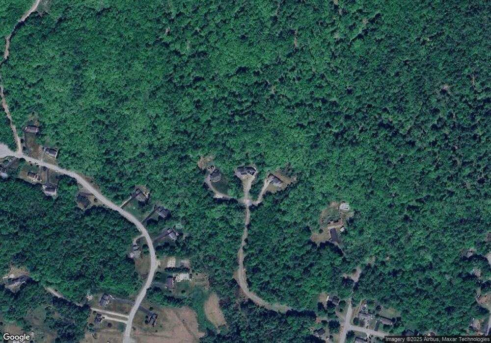
39 Quail Run Ln Goffstown, NH 03045
Estimated Value: $672,000 - $845,240
3
Beds
4
Baths
3,122
Sq Ft
$242/Sq Ft
Est. Value
About This Home
This home is located at 39 Quail Run Ln, Goffstown, NH 03045 and is currently estimated at $754,560, approximately $241 per square foot. 39 Quail Run Ln is a home with nearby schools including Mountain View Middle School and Goffstown High School.
Create a Home Valuation Report for This Property
The Home Valuation Report is an in-depth analysis detailing your home's value as well as a comparison with similar homes in the area
Home Values in the Area
Average Home Value in this Area
Tax History Compared to Growth
Tax History
| Year | Tax Paid | Tax Assessment Tax Assessment Total Assessment is a certain percentage of the fair market value that is determined by local assessors to be the total taxable value of land and additions on the property. | Land | Improvement |
|---|---|---|---|---|
| 2024 | $16,166 | $790,900 | $193,700 | $597,200 |
| 2023 | $14,916 | $790,900 | $193,700 | $597,200 |
| 2022 | $13,289 | $505,100 | $124,900 | $380,200 |
| 2021 | $12,537 | $505,100 | $124,900 | $380,200 |
| 2020 | $12,537 | $505,100 | $124,900 | $380,200 |
| 2019 | $11,547 | $505,100 | $124,900 | $380,200 |
| 2018 | $9,317 | $500,900 | $124,900 | $376,000 |
| 2017 | $11,140 | $445,300 | $108,900 | $336,400 |
| 2016 | $10,750 | $445,300 | $108,900 | $336,400 |
| 2015 | $12,022 | $426,900 | $101,500 | $325,400 |
| 2014 | $11,526 | $426,900 | $101,500 | $325,400 |
Source: Public Records
Map
Nearby Homes
- 88 Saunders Rd
- 232 N Mast St
- 16 Palmer Rd
- 25 Pleasant St
- 12 S Mast St
- 39 S Mast St
- 99 Elm St
- 137 Elm St
- 120 S Mast St
- 22 Winter Hill Rd
- 152 S Mast St
- 2 Larch St Unit 1
- 12 Maplewood Ave
- 21A Apple Tree Dr
- 22 Fairway Dr
- 45 Range Rd
- 0 Fairway Dr Unit 11
- 174 S Stark Hwy Unit 13
- 174 S Stark Hwy Unit 23
- 111 Bog Brook Rd