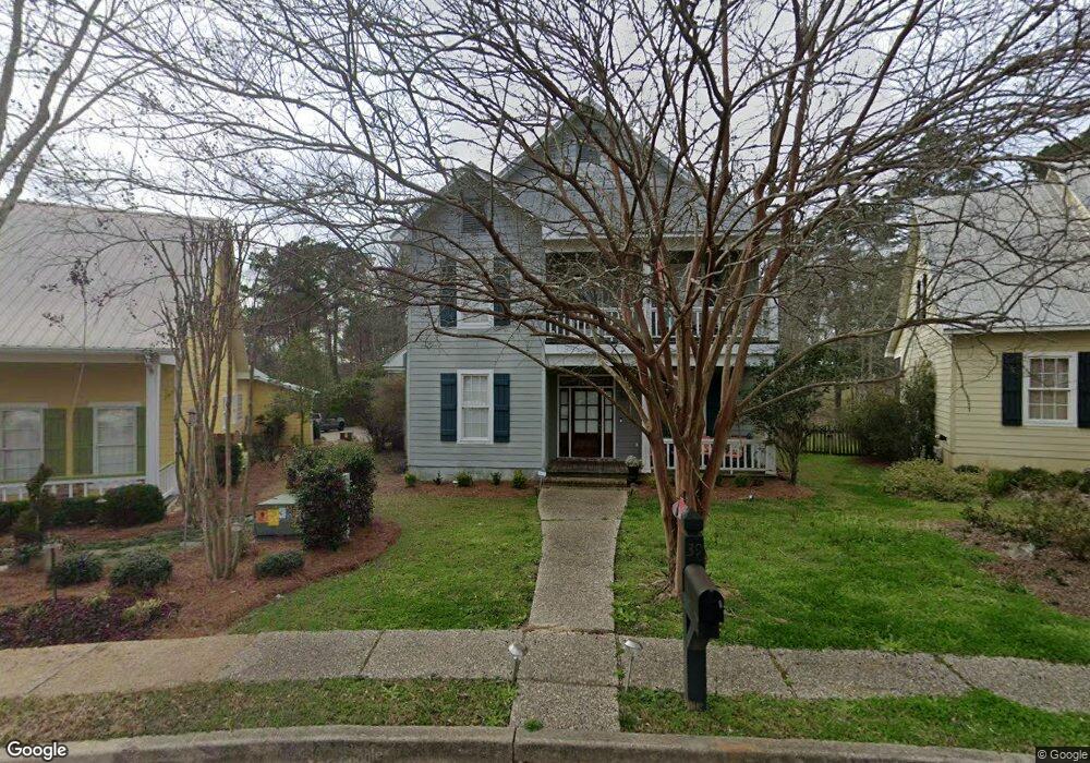
39 Robins Nest Hattiesburg, MS 39402
Estimated Value: $490,000 - $520,000
--
Bed
--
Bath
2,900
Sq Ft
$176/Sq Ft
Est. Value
About This Home
This home is located at 39 Robins Nest, Hattiesburg, MS 39402 and is currently estimated at $509,977, approximately $175 per square foot. 39 Robins Nest is a home located in Lamar County with nearby schools including Longleaf Elementary School, Oak Grove Middle School, and Oak Grove High School.
Ownership History
Date
Name
Owned For
Owner Type
Purchase Details
Closed on
Aug 29, 2019
Sold by
Barbier Carl Joseph and Barbier Peggy Mcdonald
Bought by
Yarbrough Michael Jay and Yarbrough Crystal Maria
Current Estimated Value
Home Financials for this Owner
Home Financials are based on the most recent Mortgage that was taken out on this home.
Original Mortgage
$274,775
Outstanding Balance
$240,652
Interest Rate
3.7%
Mortgage Type
FHA
Estimated Equity
$269,325
Create a Home Valuation Report for This Property
The Home Valuation Report is an in-depth analysis detailing your home's value as well as a comparison with similar homes in the area
Home Values in the Area
Average Home Value in this Area
Purchase History
| Date | Buyer | Sale Price | Title Company |
|---|---|---|---|
| Yarbrough Michael Jay | -- | -- | |
| Yarbrough Michael Jay | -- | -- |
Source: Public Records
Mortgage History
| Date | Status | Borrower | Loan Amount |
|---|---|---|---|
| Open | Yarbrough Michael Jay | $274,775 |
Source: Public Records
Tax History Compared to Growth
Tax History
| Year | Tax Paid | Tax Assessment Tax Assessment Total Assessment is a certain percentage of the fair market value that is determined by local assessors to be the total taxable value of land and additions on the property. | Land | Improvement |
|---|---|---|---|---|
| 2025 | $4,073 | $32,406 | $0 | $0 |
| 2024 | $4,073 | $32,406 | $0 | $0 |
| 2023 | $4,073 | $32,406 | $0 | $0 |
| 2022 | $3,095 | $27,012 | $0 | $0 |
| 2021 | $3,354 | $27,012 | $0 | $0 |
| 2020 | $3,391 | $27,312 | $0 | $0 |
| 2019 | $3,391 | $27,312 | $0 | $0 |
| 2018 | $3,339 | $26,891 | $0 | $0 |
| 2017 | $3,335 | $26,864 | $0 | $0 |
| 2015 | -- | $26,790 | $0 | $0 |
| 2014 | -- | $26,848 | $0 | $0 |
| 2013 | -- | $26,737 | $0 | $0 |
Source: Public Records
Map
Nearby Homes
- 39 Robin's Nest
- 33 Robin's Nest
- 0 Pecan Acres
- 65 Pecan Acres
- 16 Sunset Cir
- 16 Pecan Acres
- 24 Pecan Acres
- 25 Sunset Hill
- 14 Sunset Hill
- 135 Wild Meadows
- 90 Windwood Trace
- 94 Canebrake Blvd
- 68 Canebrake Blvd
- Lot# 28 Marais Ridge
- 49 Canebrake Blvd
- Lot E-16 Windstone St
- 20 Barkis Dr
- 0 Oak Unit 143215
- Lot E-16 Windstone
- 55 Windstone