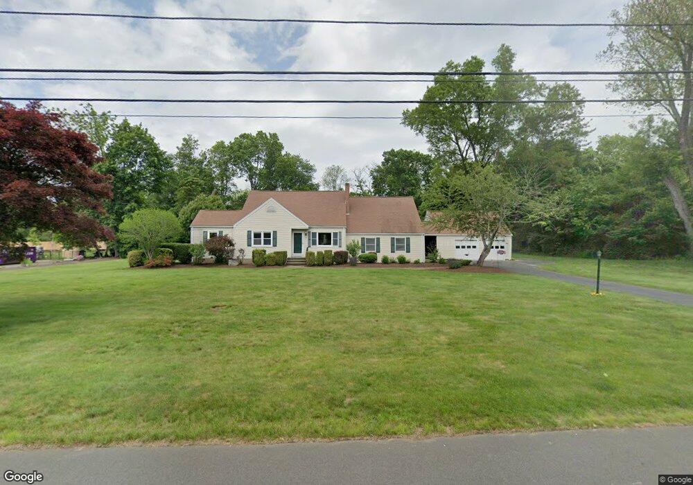
39 Rolling Ridge Rd Orange, CT 06477
Estimated Value: $733,000 - $779,137
4
Beds
4
Baths
2,806
Sq Ft
$268/Sq Ft
Est. Value
About This Home
This home is located at 39 Rolling Ridge Rd, Orange, CT 06477 and is currently estimated at $751,284, approximately $267 per square foot. 39 Rolling Ridge Rd is a home located in New Haven County with nearby schools including Mary L. Tracy School, Race Brook School, and Amity Middle School: Orange.
Ownership History
Date
Name
Owned For
Owner Type
Purchase Details
Closed on
Aug 13, 2007
Sold by
Sellers Michael W and Sellers Rita A
Bought by
Sokoloski Kenneth R and Murphy Susan A
Current Estimated Value
Purchase Details
Closed on
Aug 29, 1994
Sold by
Begina William T and Begina Katherine D
Bought by
Sellers Michael W and Sellers Rita A
Create a Home Valuation Report for This Property
The Home Valuation Report is an in-depth analysis detailing your home's value as well as a comparison with similar homes in the area
Home Values in the Area
Average Home Value in this Area
Purchase History
| Date | Buyer | Sale Price | Title Company |
|---|---|---|---|
| Sokoloski Kenneth R | $515,000 | -- | |
| Sokoloski Kenneth R | $515,000 | -- | |
| Sellers Michael W | $215,000 | -- | |
| Sellers Michael W | $215,000 | -- |
Source: Public Records
Mortgage History
| Date | Status | Borrower | Loan Amount |
|---|---|---|---|
| Open | Sellers Michael W | $347,000 | |
| Closed | Sellers Michael W | $355,000 | |
| Closed | Sellers Michael W | $352,000 |
Source: Public Records
Tax History
| Year | Tax Paid | Tax Assessment Tax Assessment Total Assessment is a certain percentage of the fair market value that is determined by local assessors to be the total taxable value of land and additions on the property. | Land | Improvement |
|---|---|---|---|---|
| 2025 | $12,498 | $429,500 | $202,400 | $227,100 |
| 2024 | $13,315 | $429,500 | $202,400 | $227,100 |
| 2023 | $9,470 | $293,100 | $147,800 | $145,300 |
| 2022 | $9,587 | $293,100 | $147,800 | $145,300 |
| 2021 | $9,746 | $293,100 | $147,800 | $145,300 |
| 2020 | $9,596 | $293,100 | $147,800 | $145,300 |
| 2019 | $9,552 | $293,100 | $147,800 | $145,300 |
| 2018 | $9,379 | $293,100 | $147,800 | $145,300 |
| 2017 | $9,462 | $284,300 | $140,700 | $143,600 |
| 2016 | $9,154 | $284,300 | $140,700 | $143,600 |
| 2015 | $8,927 | $284,300 | $140,700 | $143,600 |
| 2014 | $8,671 | $284,300 | $140,700 | $143,600 |
Source: Public Records
Map
Nearby Homes
- 424 Racebrook Rd
- 148 Kennedy Dr
- 84 Chelsea Ct
- 24 Brierwood Dr
- 588 Summit Dr
- 155 Bull Hill Ln Unit 201
- 149 Canton St Unit 30
- 149 Canton St Unit 18
- 157 Bull Hill Ln Unit 102
- 7 Ipswich St
- 317 Narrow Ln
- 96 Medford St
- 63 Cynthia Dr
- 181 Hadley Rd
- 53 Pheasant Rd
- 84 Eileen Rd
- 68 Eagle Place
- 79 Claudia Dr Unit 354
- 79 Claudia Dr Unit 149
- 420 Narrow Ln
- 45 Rolling Ridge Rd
- 29 Rolling Ridge Rd
- 50 Rolling Ridge Rd
- 46 Sunset Dr
- 42 Rolling Ridge Rd
- 60 Rolling Ridge Rd
- 50 Sunset Dr
- 23 Rolling Ridge Rd
- 55 Rolling Ridge Rd
- 63 Rolling Ridge Rd
- 65 Rolling Ridge Rd
- 47 Rolling Ridge Rd
- 22 Rolling Ridge Rd
- 70 Rolling Ridge Rd
- 70 Sunset Dr
- 59 Rolling Ridge Rd
- 37 Rolling Ridge Rd
- 51 Sunset Dr
- 78 Sunset Dr
Your Personal Tour Guide
Ask me questions while you tour the home.