39 Round Hill Rd Unit 44 Dobbs Ferry, NY 10522
Estimated Value: $683,000 - $794,000
2
Beds
3
Baths
1,700
Sq Ft
$422/Sq Ft
Est. Value
About This Home
This home is located at 39 Round Hill Rd Unit 44, Dobbs Ferry, NY 10522 and is currently estimated at $717,424, approximately $422 per square foot. 39 Round Hill Rd Unit 44 is a home located in Westchester County with nearby schools including Springhurst Elementary School, Dobbs Ferry High School, and The Masters School.
Ownership History
Date
Name
Owned For
Owner Type
Purchase Details
Closed on
Jul 26, 2004
Sold by
Weinstein David E and Weisio Martha A
Bought by
Weinstein David E
Current Estimated Value
Home Financials for this Owner
Home Financials are based on the most recent Mortgage that was taken out on this home.
Original Mortgage
$400,000
Outstanding Balance
$212,909
Interest Rate
7.12%
Mortgage Type
Purchase Money Mortgage
Estimated Equity
$504,515
Purchase Details
Closed on
Apr 16, 1999
Sold by
Danaher John and Danaher Ann
Bought by
Weinstein David E and Weislo Marth A
Home Financials for this Owner
Home Financials are based on the most recent Mortgage that was taken out on this home.
Original Mortgage
$150,000
Interest Rate
7.39%
Mortgage Type
Stand Alone Second
Create a Home Valuation Report for This Property
The Home Valuation Report is an in-depth analysis detailing your home's value as well as a comparison with similar homes in the area
Home Values in the Area
Average Home Value in this Area
Purchase History
| Date | Buyer | Sale Price | Title Company |
|---|---|---|---|
| Weinstein David E | -- | Commonwealth Title | |
| Weinstein David E | $273,500 | First American Title Ins Co |
Source: Public Records
Mortgage History
| Date | Status | Borrower | Loan Amount |
|---|---|---|---|
| Open | Weinstein David E | $400,000 | |
| Closed | Weinstein David E | $109,825 | |
| Previous Owner | Weinstein David E | $150,000 |
Source: Public Records
Tax History Compared to Growth
Tax History
| Year | Tax Paid | Tax Assessment Tax Assessment Total Assessment is a certain percentage of the fair market value that is determined by local assessors to be the total taxable value of land and additions on the property. | Land | Improvement |
|---|---|---|---|---|
| 2024 | $16,000 | $509,400 | $203,500 | $305,900 |
| 2023 | $15,578 | $513,500 | $203,500 | $310,000 |
| 2022 | $14,815 | $491,000 | $203,500 | $287,500 |
| 2021 | $14,970 | $450,500 | $203,500 | $247,000 |
| 2020 | $14,706 | $440,200 | $203,500 | $236,700 |
| 2019 | $14,169 | $440,200 | $203,500 | $236,700 |
| 2018 | $16,936 | $427,700 | $203,500 | $224,200 |
| 2017 | $9,496 | $419,400 | $203,500 | $215,900 |
| 2016 | $340,900 | $415,300 | $203,500 | $211,800 |
| 2015 | -- | $12,560 | $1,700 | $10,860 |
| 2014 | -- | $12,560 | $1,700 | $10,860 |
| 2013 | $10,314 | $12,560 | $1,700 | $10,860 |
Source: Public Records
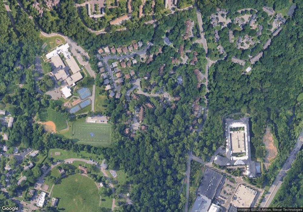
Map
Nearby Homes
- 110 Round Hill Rd Unit 77
- 118 Round Hill Rd
- 9 Round Hill Rd
- 26 Round Hill Rd
- 1001 Hunters Run
- 1402 Hunters Run
- 801 Hunters Run
- 14 Manor House Dr Unit G29
- 17 Manor House Dr Unit K13
- 5 Forkland Ln
- 101 Beacon Hill Dr Unit 13
- 0 Ashford Ave Unit KEY885130
- 23 Bonaventure Ave
- 12 Shady Rd
- 63 Grandview Ave
- 125 Bramblebrook Rd
- 177 Clinton Ave
- 100 Euclid Ave
- 13 English Ln Unit B
- 134 Euclid Ave
- 37 Round Hill Rd
- 41 Round Hill Rd
- 35 Round Hill Rd
- 43 Round Hill Rd
- 45 Round Hill Rd
- 33 Round Hill Rd
- 3 Deerfoot Ln
- 47 Round Hill Rd Unit 48
- 5 Deerfoot Ln
- 2 Treetop Ln
- 6 Tree Top Ln
- 7 Deerfoot Ln
- 4 Tree Top Ln Unit 39
- 8 Tree Top Ln Unit 37
- 10 Tree Top Ln
- 9 Deerfoot Ln
- 53 Round Hill Rd
- 11 Deerfoot Ln
- 12 Tree Top Ln
- 13 Deerfoot Ln Unit 59