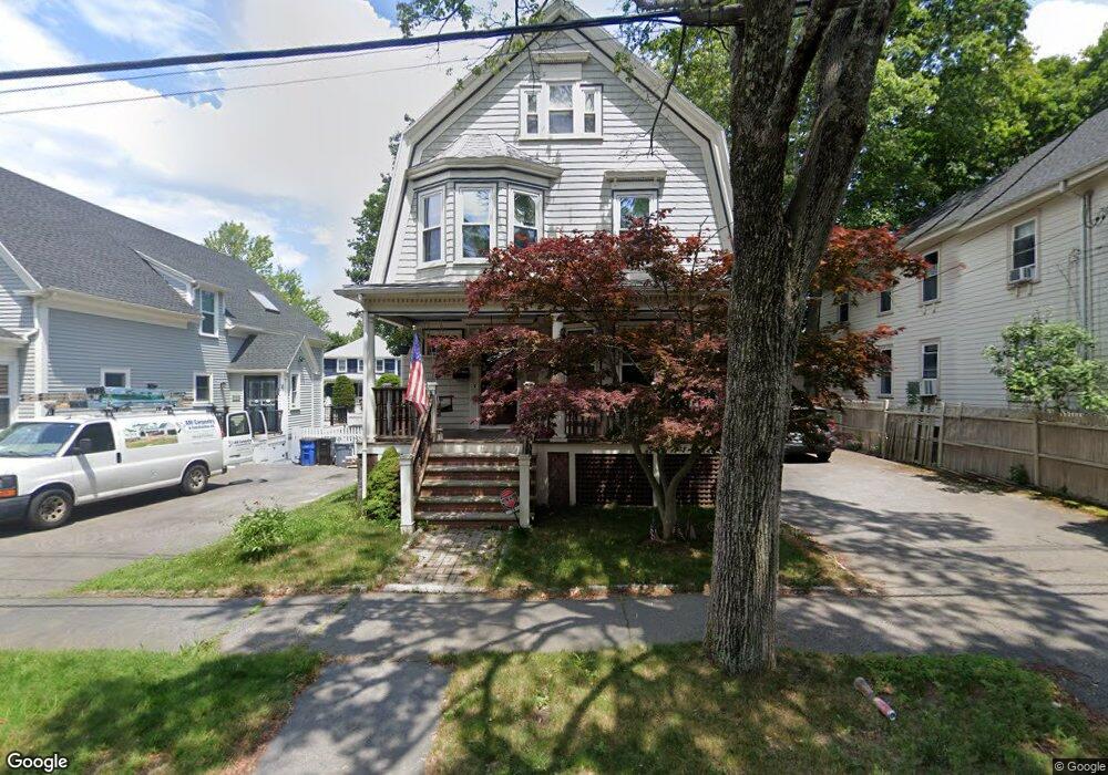
39 Salem St Unit 1 Swampscott, MA 01907
Estimated Value: $1,469,000 - $1,689,000
2
Beds
3
Baths
3,572
Sq Ft
$450/Sq Ft
Est. Value
About This Home
This home is located at 39 Salem St Unit 1, Swampscott, MA 01907 and is currently estimated at $1,606,034, approximately $449 per square foot. 39 Salem St Unit 1 is a home located in Essex County with nearby schools including Swampscott Middle School, Swampscott High School, and Epstein Hillel School.
Ownership History
Date
Name
Owned For
Owner Type
Purchase Details
Closed on
Apr 5, 2022
Sold by
Ameen David J
Bought by
Ameen Nt
Current Estimated Value
Purchase Details
Closed on
Nov 22, 2010
Sold by
Whitman Nt
Bought by
Owens Leonard C and Barrett-Owens Lana
Create a Home Valuation Report for This Property
The Home Valuation Report is an in-depth analysis detailing your home's value as well as a comparison with similar homes in the area
Home Values in the Area
Average Home Value in this Area
Purchase History
| Date | Buyer | Sale Price | Title Company |
|---|---|---|---|
| Ameen Nt | -- | None Available | |
| Ameen Nt | -- | None Available | |
| Owens Leonard C | $460,000 | -- | |
| Owens Leonard C | $460,000 | -- |
Source: Public Records
Mortgage History
| Date | Status | Borrower | Loan Amount |
|---|---|---|---|
| Previous Owner | Owens Leonard C | $250,000 | |
| Previous Owner | Owens Leonard C | $408,000 | |
| Previous Owner | Owens Leonard C | $300,000 |
Source: Public Records
Tax History Compared to Growth
Tax History
| Year | Tax Paid | Tax Assessment Tax Assessment Total Assessment is a certain percentage of the fair market value that is determined by local assessors to be the total taxable value of land and additions on the property. | Land | Improvement |
|---|---|---|---|---|
| 2025 | $16,551 | $1,443,000 | $452,800 | $990,200 |
| 2024 | $15,911 | $1,384,800 | $432,500 | $952,300 |
| 2023 | $15,228 | $1,297,100 | $432,500 | $864,600 |
| 2022 | $9,757 | $760,500 | $283,800 | $476,700 |
| 2021 | $9,300 | $673,900 | $216,300 | $457,600 |
| 2020 | $8,657 | $605,400 | $189,200 | $416,200 |
| 2019 | $9,202 | $605,400 | $189,200 | $416,200 |
| 2018 | $9,686 | $605,400 | $189,200 | $416,200 |
| 2017 | $10,093 | $578,400 | $189,200 | $389,200 |
| 2016 | $10,024 | $578,400 | $189,200 | $389,200 |
| 2015 | $10,271 | $598,900 | $189,200 | $409,700 |
| 2014 | $8,617 | $460,800 | $141,900 | $318,900 |
Source: Public Records
Map
Nearby Homes
- 69 Atlantic Ave
- 406 Paradise Rd Unit 2P
- 26 Parsons Dr
- 1006 Paradise Rd Unit 3R
- 1006 Paradise Rd Unit 1H
- 35 Gooseneck Ln Unit 43
- 9 Maple Ave
- 455 Puritan Rd
- 29 Brooks Terrace
- 33 Sherwood Rd
- 27 May St
- 6 Loring Hills Ave Unit D3
- 6 Loring Hills Ave Unit C3
- 6 Loring Hills Ave Unit G4
- 179 Beach Bluff Ave
- 441 Essex St Unit 302
- 21 Preston Beach Rd
- 5 Supreme Ct
- 21 Bay View Dr
- 523 Humphrey St
- 39 Salem St
- 38 Salem St Unit 1
- 40 Salem St Unit 1
- 15 Salem St Unit 1
- 21 Salem St Unit 1
- 21 Salem St
- 15 One Salem St Unit 15
- 37 Salem St Unit 1
- 37 Salem St
- 25 Salem St Unit 1
- 25 Salem St
- 14 Salem St Unit 1
- 20 One Salem St Unit 20
- 20 Salem St Unit 1
- 46 Salem St Unit 1
- 16 Salem St Unit 1
- 28 Salem St Unit 1
- 42 Salem St Unit 1
- 1 Salem St
- 1 Salem St Unit 13B