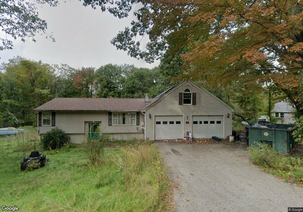
39 Sarty Rd West Brookfield, MA 01585
Estimated Value: $392,000 - $473,000
5
Beds
2
Baths
2,123
Sq Ft
$201/Sq Ft
Est. Value
About This Home
This home is located at 39 Sarty Rd, West Brookfield, MA 01585 and is currently estimated at $427,298, approximately $201 per square foot. 39 Sarty Rd is a home with nearby schools including Quaboag Regional High School.
Create a Home Valuation Report for This Property
The Home Valuation Report is an in-depth analysis detailing your home's value as well as a comparison with similar homes in the area
Home Values in the Area
Average Home Value in this Area
Tax History
| Year | Tax Paid | Tax Assessment Tax Assessment Total Assessment is a certain percentage of the fair market value that is determined by local assessors to be the total taxable value of land and additions on the property. | Land | Improvement |
|---|---|---|---|---|
| 2025 | $4,751 | $320,800 | $58,800 | $262,000 |
| 2024 | $4,834 | $320,800 | $58,800 | $262,000 |
| 2023 | $4,723 | $298,900 | $58,800 | $240,100 |
| 2022 | $3,845 | $247,100 | $45,000 | $202,100 |
| 2021 | $3,770 | $236,200 | $42,600 | $193,600 |
| 2020 | $3,813 | $222,200 | $42,600 | $179,600 |
| 2019 | $3,822 | $210,600 | $42,600 | $168,000 |
| 2018 | $3,461 | $199,800 | $42,600 | $157,200 |
| 2017 | $3,577 | $192,700 | $44,200 | $148,500 |
| 2016 | $3,664 | $184,700 | $42,200 | $142,500 |
| 2015 | $3,306 | $176,300 | $42,200 | $134,100 |
| 2014 | $3,463 | $181,300 | $42,200 | $139,100 |
Source: Public Records
Map
Nearby Homes
- 1591 Southbridge Rd
- 21 Fox Run
- 18 Fox Run
- 3 Foster Rd
- 366 Southbridge Rd
- Lot 8 Southbridge Rd
- LOT 7 Southbridge Rd
- 368 Keys Rd
- 36 Nelson St
- 83 Comins Pond Rd
- 3 Heritage Dr
- 12 Presidential Cir
- Lot 4 Brimfield Rd
- 8 Otis St
- 17 Otis St
- 59 High St
- Lot 5 Brimfield Rd
- Lot 3 Brimfield Rd
- 12 West St
- 40 Hillside Ave
Your Personal Tour Guide
Ask me questions while you tour the home.