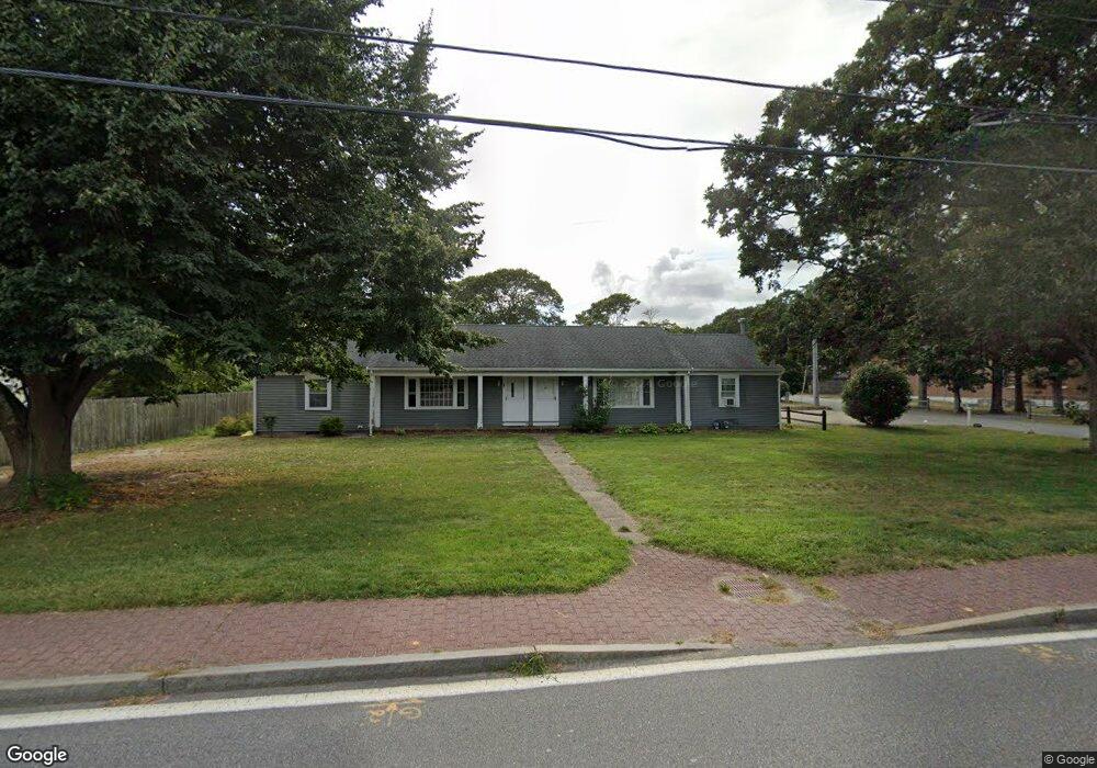
39 Station Ave Unit 41 South Yarmouth, MA 02664
Estimated Value: $342,000 - $610,000
4
Beds
3
Baths
1,824
Sq Ft
$287/Sq Ft
Est. Value
About This Home
This home is located at 39 Station Ave Unit 41, South Yarmouth, MA 02664 and is currently estimated at $523,576, approximately $287 per square foot. 39 Station Ave Unit 41 is a home located in Barnstable County with nearby schools including Dennis-Yarmouth Regional High School and St. Pius X. School.
Ownership History
Date
Name
Owned For
Owner Type
Purchase Details
Closed on
Jun 27, 2024
Sold by
Whitehouse Bradley T and Whitehouse Roby G
Bought by
Whitehouse Lyon 2024 Lt and Whitehouse
Current Estimated Value
Purchase Details
Closed on
Sep 18, 2013
Sold by
Rustic Rt
Bought by
Whitehouse Bradley T and Whitehouse Roby G
Home Financials for this Owner
Home Financials are based on the most recent Mortgage that was taken out on this home.
Original Mortgage
$131,250
Interest Rate
4.42%
Mortgage Type
New Conventional
Create a Home Valuation Report for This Property
The Home Valuation Report is an in-depth analysis detailing your home's value as well as a comparison with similar homes in the area
Home Values in the Area
Average Home Value in this Area
Purchase History
| Date | Buyer | Sale Price | Title Company |
|---|---|---|---|
| Whitehouse Lyon 2024 Lt | -- | None Available | |
| Whitehouse Lyon 2024 Lt | -- | None Available | |
| Whitehouse Bradley T | $175,000 | -- |
Source: Public Records
Mortgage History
| Date | Status | Borrower | Loan Amount |
|---|---|---|---|
| Previous Owner | Whitehouse Bradley T | $131,250 |
Source: Public Records
Tax History Compared to Growth
Tax History
| Year | Tax Paid | Tax Assessment Tax Assessment Total Assessment is a certain percentage of the fair market value that is determined by local assessors to be the total taxable value of land and additions on the property. | Land | Improvement |
|---|---|---|---|---|
| 2025 | $3,054 | $431,300 | $133,300 | $298,000 |
| 2024 | $2,855 | $386,800 | $101,500 | $285,300 |
| 2023 | $3,178 | $391,900 | $118,600 | $273,300 |
| 2022 | $3,216 | $350,300 | $107,800 | $242,500 |
| 2021 | $2,907 | $304,100 | $107,800 | $196,300 |
| 2020 | $2,605 | $260,500 | $102,000 | $158,500 |
| 2019 | $2,479 | $245,400 | $102,000 | $143,400 |
| 2018 | $2,388 | $232,100 | $88,700 | $143,400 |
| 2017 | $2,011 | $200,700 | $70,900 | $129,800 |
| 2016 | $1,802 | $180,600 | $70,900 | $109,700 |
| 2015 | $1,858 | $185,100 | $75,400 | $109,700 |
Source: Public Records
Map
Nearby Homes
- 61 Station Ave
- 15 Sharon Rd
- 308 Old Main St
- 7 Sunset Pines Rd
- 22 Powhatan Rd
- 45 Seth Ln
- 116 N Main St
- 29 Bass River Rd
- 18 Turner Ln
- 251 Old Main St
- 4 Raymond Ave
- 141 Main St Unit 4
- 141 Main St Unit 23
- 181 Pleasant St
- 209 Main St Unit 3
- 209 Main St Unit 6
- 209 Main St Unit 1
- 209 Main St Unit 2
- 209 Main St Unit 4
- 209 Main St Unit 5
- 39-41 Station Ave
- 35 Station Ave
- 9 Marys Way
- 10 Pine Grove Rd
- 34 Station Ave
- 402 Pine St
- 45 Station Ave
- 32 Station Ave
- 27 Station Ave
- 406 Pine St
- 30 Station Ave Unit 32
- 51 Station Ave
- 30-32 Station Ave
- 16 Uncle Ephraims Rd
- 16 Uncle Ephriams Rd
- 410 Pine St
- 415 Pine St
- 21 Station Ave
- 12 Uncle Ephraims Rd
- 414 Pine St