39 Summit Rd Plymouth, NH 03264
Estimated Value: $437,000 - $660,834
3
Beds
3
Baths
1,998
Sq Ft
$255/Sq Ft
Est. Value
About This Home
This home is located at 39 Summit Rd, Plymouth, NH 03264 and is currently estimated at $510,459, approximately $255 per square foot. 39 Summit Rd is a home with nearby schools including Plymouth Elementary School, Plymouth Regional High School, and Plymouth State University CD & FC.
Ownership History
Date
Name
Owned For
Owner Type
Purchase Details
Closed on
Dec 30, 2024
Sold by
Steer Jared D and King Eliza L
Bought by
Steer King Ft and Steer
Current Estimated Value
Purchase Details
Closed on
Sep 16, 2019
Sold by
Coupe Ernest L and Coupe Kathryn N
Bought by
Steer Jared D and King Eliza L
Home Financials for this Owner
Home Financials are based on the most recent Mortgage that was taken out on this home.
Original Mortgage
$45,000
Interest Rate
3.7%
Mortgage Type
New Conventional
Purchase Details
Closed on
Dec 21, 2017
Sold by
Coupe Ernest L and Newell-Coupe Kathryn
Bought by
Lane Wade and Panagoulis Eleni
Purchase Details
Closed on
Oct 11, 2013
Sold by
Shepard Aaron and Leonard Tara L
Bought by
Coupe Ernest L and Newell-Coupe Kathryn
Purchase Details
Closed on
Apr 17, 2012
Sold by
Gendron Jacqueline C
Bought by
Shepard Aaron and Leonard Tara L
Create a Home Valuation Report for This Property
The Home Valuation Report is an in-depth analysis detailing your home's value as well as a comparison with similar homes in the area
Home Values in the Area
Average Home Value in this Area
Purchase History
| Date | Buyer | Sale Price | Title Company |
|---|---|---|---|
| Steer King Ft | -- | None Available | |
| Steer King Ft | -- | None Available | |
| Steer Jared D | $70,000 | -- | |
| Lane Wade | -- | -- | |
| Coupe Ernest L | $65,000 | -- | |
| Shepard Aaron | $54,000 | -- | |
| Lane Wade | -- | -- | |
| Coupe Ernest L | $65,000 | -- | |
| Shepard Aaron | $54,000 | -- |
Source: Public Records
Mortgage History
| Date | Status | Borrower | Loan Amount |
|---|---|---|---|
| Previous Owner | Steer Jared D | $45,000 |
Source: Public Records
Tax History Compared to Growth
Tax History
| Year | Tax Paid | Tax Assessment Tax Assessment Total Assessment is a certain percentage of the fair market value that is determined by local assessors to be the total taxable value of land and additions on the property. | Land | Improvement |
|---|---|---|---|---|
| 2024 | $11,422 | $454,700 | $166,100 | $288,600 |
| 2023 | $11,086 | $454,700 | $166,100 | $288,600 |
| 2022 | $8,960 | $285,000 | $80,500 | $204,500 |
| 2021 | $8,690 | $285,000 | $80,500 | $204,500 |
| 2020 | $2,350 | $82,500 | $73,000 | $9,500 |
| 2019 | $2,058 | $73,000 | $73,000 | $0 |
| 2018 | $12,330 | $69,700 | $69,700 | $0 |
| 2017 | $1,620 | $54,800 | $54,800 | $0 |
| 2016 | $1,379 | $54,800 | $54,800 | $0 |
| 2015 | $1,339 | $54,800 | $54,800 | $0 |
| 2014 | $1,311 | $54,800 | $54,800 | $0 |
| 2013 | $1,317 | $54,800 | $54,800 | $0 |
Source: Public Records
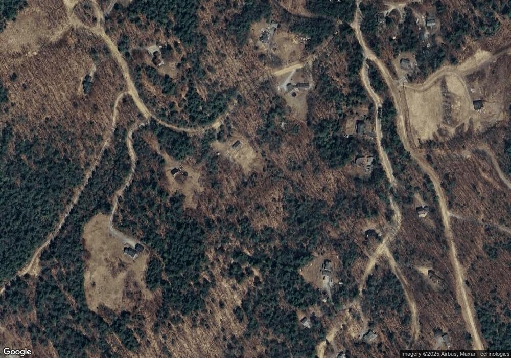
Map
Nearby Homes
- 0 Oak Ridge Rd Unit 27
- 15-B Wildflower Ln
- 25 Wentworth St
- 28, 29 &42 Railroad & Main Square
- 96 Fairway Dr Unit 1
- 64 Fairway Dr
- 75 Pleasant St
- 12 Broadway St
- 10 Hawthorne St
- 0 Binks Hill Rd
- 585 N Ashland Rd
- 6 Boe Rd
- 3A N Ashland Rd
- 193 New Hebron Rd
- 208 New Hebron Rd
- 9 Blueberry Hill Rd Unit 8
- 29 Reservoir Heights Rd
- 263 Highland St
- 11 Clay Brook Dr
- 14 Heritage Hill Rd
- 69 Summit Rd
- 57 Summit Rd
- 00 Summit Rd Unit 30
- 23 Summit Rd
- 34 Sunrise Cir
- 133 Sunrise Cir
- 26 Sunrise Cir
- 0 Summit Rd
- 50 Sunrise Cir
- 22 Summit Rd
- 61 Summit Rd
- 125 Sunrise Cir
- 74 Summit Rd
- 43 Sunrise Cir
- 00 Thurlow St
- 4 Old Stagecoach Rd
- 9 Old Stage Coach Rd
- 77 Summit Rd
- 124 Sunrise Cir
- 117 Sunrise Cir