39 The Ln Addison, ME 04606
Estimated Value: $185,489 - $422,000
2
Beds
1
Bath
1,296
Sq Ft
$239/Sq Ft
Est. Value
About This Home
This home is located at 39 The Ln, Addison, ME 04606 and is currently estimated at $309,372, approximately $238 per square foot. 39 The Ln is a home located in Washington County.
Ownership History
Date
Name
Owned For
Owner Type
Purchase Details
Closed on
Aug 23, 2021
Sold by
Yaws Irene M
Bought by
A P Hardwood Llc
Current Estimated Value
Home Financials for this Owner
Home Financials are based on the most recent Mortgage that was taken out on this home.
Original Mortgage
$100,000
Outstanding Balance
$90,049
Interest Rate
2.7%
Mortgage Type
Purchase Money Mortgage
Estimated Equity
$219,323
Purchase Details
Closed on
Nov 7, 2008
Sold by
Reynolds Edgar L and Reynolds Linda B
Bought by
Yaws Neil S and Yaws Irene M
Create a Home Valuation Report for This Property
The Home Valuation Report is an in-depth analysis detailing your home's value as well as a comparison with similar homes in the area
Purchase History
| Date | Buyer | Sale Price | Title Company |
|---|---|---|---|
| A P Hardwood Llc | -- | None Available | |
| Yaws Neil S | -- | -- |
Source: Public Records
Mortgage History
| Date | Status | Borrower | Loan Amount |
|---|---|---|---|
| Open | A P Hardwood Llc | $100,000 |
Source: Public Records
Tax History
| Year | Tax Paid | Tax Assessment Tax Assessment Total Assessment is a certain percentage of the fair market value that is determined by local assessors to be the total taxable value of land and additions on the property. | Land | Improvement |
|---|---|---|---|---|
| 2025 | $2,167 | $112,300 | $69,800 | $42,500 |
| 2024 | $2,102 | $112,300 | $69,800 | $42,500 |
| 2023 | $1,934 | $112,300 | $69,800 | $42,500 |
| 2022 | $1,809 | $109,000 | $66,500 | $42,500 |
| 2021 | $1,809 | $109,000 | $66,500 | $42,500 |
| 2020 | $816 | $109,000 | $66,500 | $42,500 |
| 2019 | $1,022 | $109,000 | $66,500 | $42,500 |
| 2018 | $1,733 | $109,000 | $66,500 | $42,500 |
| 2017 | $1,733 | $109,000 | $66,500 | $42,500 |
| 2016 | $1,591 | $109,000 | $66,500 | $42,500 |
| 2015 | $1,564 | $109,000 | $66,500 | $42,500 |
| 2014 | $1,461 | $109,000 | $66,500 | $42,500 |
| 2013 | $1,370 | $109,600 | $66,500 | $43,100 |
Source: Public Records
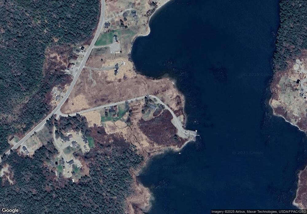
Map
Nearby Homes
- M17L21 Basin Rd
- Lot #8 Seaberry Landing Rd
- 60 W Wind Rd
- Lot #1 Seaberry Landing Rd
- 55 Wilders Way
- Lot #3 Seaberry Landing Rd
- 1491 Indian River Rd
- 1655 Indian River Rd
- 1489 Indian River Rd
- Lot #4 Indian Head Shores
- Lot #3 Inidan Head Shores
- Lot #2 Inidan Head Shores
- Lot #1 Inidan Head Shores
- 1357 Indian River Rd
- 6, 11, 20 Skinner Corner
- 0 Pomp Island Unit 1652405
- 52 Main St
- 18 North St
- 33 Barneys Cove Rd
- 8 Feeney St
- 23 The Ln
- 590 Basin Rd
- 00 Salt Breeze Ln
- 18 Eagle Ln
- 580 Basin Rd
- 16 Eagle Ln
- 583 Basin Rd
- 589 Basin Rd
- 14 Eagle Ln
- 572 Basin Rd
- 601 Basin Rd
- 15 Eagle Ln
- Lot 4 Salt Breeze Ln
- 622 Basin Rd
- Lot 3 Salt Breeze Ln
- 625 Basin Rd
- 1205 Windward Way
- 18-53 Salt Breeze Way
- LOT#53 Salt Breeeze Way
- Lot 53 Salt Breeze Way
Your Personal Tour Guide
Ask me questions while you tour the home.