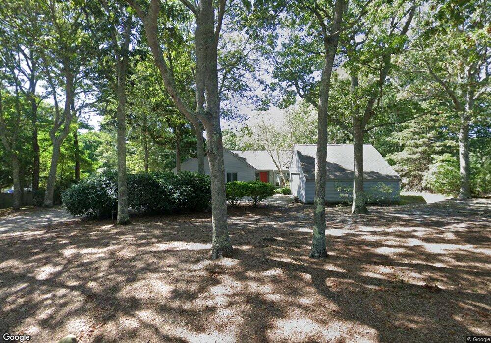
39 Troon Way Mashpee, MA 02649
New Seabury-Popponesset Island NeighborhoodEstimated Value: $1,280,000 - $1,547,444
About This Home
This home is located at 39 Troon Way, Mashpee, MA 02649 and is currently estimated at $1,392,861, approximately $765 per square foot. 39 Troon Way is a home located in Barnstable County with nearby schools including Kenneth C. Coombs School, Quashnet School, and Mashpee Middle School.
Ownership History
We collect this data history from publicly available records. To have your information removed, we recommend requesting removal directly through your county’s website.
Purchase Details
Purchase Details
Home Values in the Area
Average Home Value in this Area
Purchase History
We collect this data history from publicly available records. To have your information removed, we recommend requesting removal directly through your county’s website.
| Date | Buyer | Sale Price | Title Company |
|---|---|---|---|
| -- | -- | ||
| $285,000 | -- |
Mortgage History
We collect this data history from publicly available records. To have your information removed, we recommend requesting removal directly through your county’s website.
| Date | Status | Borrower | Loan Amount |
|---|---|---|---|
| Open | $954,225 | ||
| Closed | $210,000 | ||
| Closed | $93,217 | ||
| Closed | $70,000 | ||
| Previous Owner | $25,000 | ||
| Previous Owner | $120,000 |
Tax History
We collect this data history from publicly available records. To have your information removed, we recommend requesting removal directly through your county’s website.
| Year | Tax Paid | Tax Assessment Tax Assessment Total Assessment is a certain percentage of the fair market value that is determined by local assessors to be the total taxable value of land and additions on the property. | Land | Improvement |
|---|---|---|---|---|
| 2025 | $8,111 | $1,225,300 | $543,600 | $681,700 |
| 2024 | $6,952 | $1,081,200 | $431,500 | $649,700 |
| 2023 | $6,645 | $948,000 | $410,900 | $537,100 |
| 2022 | $6,238 | $763,500 | $321,900 | $441,600 |
| 2021 | $9,848 | $658,000 | $290,000 | $368,000 |
| 2020 | $5,761 | $633,800 | $278,900 | $354,900 |
| 2019 | $5,553 | $613,600 | $278,900 | $334,700 |
| 2018 | $9,346 | $593,300 | $294,700 | $298,600 |
| 2017 | $5,362 | $583,500 | $294,700 | $288,800 |
| 2016 | $5,582 | $604,100 | $331,500 | $272,600 |
| 2015 | $5,571 | $611,500 | $352,500 | $259,000 |
| 2014 | $5,655 | $602,200 | $346,500 | $255,700 |
Map
- 46 Greensward Cir
- 28 Flying Cloud Cir Unit 28
- 38 Brant Rock Rd Unit 820
- 38 Brant Rock Rd Unit 38
- 15 Brant Rock Rd Unit 765
- 40 Triton Way
- 184 Fells Pond Rd
- 21 Milestone Way Unit 21
- 21 Milestone Way Unit 620
- 4 Hyannis Point Rd Unit 4
- 33 Landmark Ave
- 133 Walton Heath Way
- 8 Wharf Ave
- 6 Hammock Pond Rd
- 5 Coastline Dr
- 10 Wharf Ave
- 3 Hyannis Point Rd
- 3 Hyannis Point Rd Unit 790
- 14 Hammock Pond Rd Unit 789
- 4 Race Point Rd Unit 4
- 13 Troon Place
- 5 Troon Place
- 14 Troon Place
- 10 Troon Place
- 3 Troon Place
- 2 Troon Place
- 33 Troon Way
- 196 Glenneagle Dr
- 190 Glenneagle Dr
- 204 Glenneagle Dr
- 55 Troon Way
- 184 Glenneagle Dr
- 210 Glenneagle Dr
- 25 Troon Way
- 42 Troon Way
- 218 Glenneagle Dr
- 48 Troon Way
- 178 Glenneagle Dr
- 36 Troon Way
- 184 Gleneagle Extension Dr
Ask me questions while you tour the home.