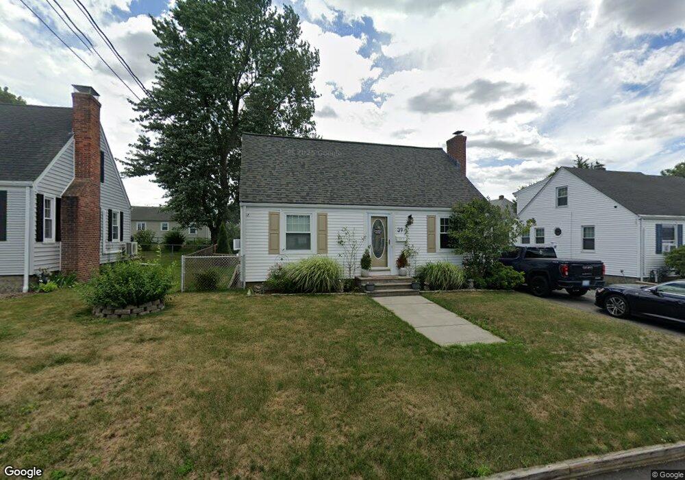
39 Unity Ave East Providence, RI 02914
Outer East Bay NeighborhoodEstimated Value: $417,886 - $491,000
4
Beds
2
Baths
1,748
Sq Ft
$255/Sq Ft
Est. Value
About This Home
This home is located at 39 Unity Ave, East Providence, RI 02914 and is currently estimated at $445,722, approximately $254 per square foot. 39 Unity Ave is a home located in Providence County with nearby schools including East Providence High School, The Gordon School, and St Mary Academy-Bay View.
Ownership History
Date
Name
Owned For
Owner Type
Purchase Details
Closed on
Apr 13, 1994
Sold by
Antunes Victor M and Antunes Grace
Bought by
Dapointe Joseph F and Dapointe Nadine
Current Estimated Value
Home Financials for this Owner
Home Financials are based on the most recent Mortgage that was taken out on this home.
Original Mortgage
$99,700
Interest Rate
7.45%
Create a Home Valuation Report for This Property
The Home Valuation Report is an in-depth analysis detailing your home's value as well as a comparison with similar homes in the area
Home Values in the Area
Average Home Value in this Area
Purchase History
| Date | Buyer | Sale Price | Title Company |
|---|---|---|---|
| Dapointe Joseph F | $105,000 | -- |
Source: Public Records
Mortgage History
| Date | Status | Borrower | Loan Amount |
|---|---|---|---|
| Closed | Dapointe Joseph F | $52,500 | |
| Closed | Dapointe Joseph F | $10,130 | |
| Closed | Dapointe Joseph F | $12,000 | |
| Closed | Dapointe Joseph F | $99,700 |
Source: Public Records
Tax History Compared to Growth
Tax History
| Year | Tax Paid | Tax Assessment Tax Assessment Total Assessment is a certain percentage of the fair market value that is determined by local assessors to be the total taxable value of land and additions on the property. | Land | Improvement |
|---|---|---|---|---|
| 2025 | $5,174 | $395,900 | $105,500 | $290,400 |
| 2024 | $4,926 | $321,300 | $87,900 | $233,400 |
| 2023 | $4,742 | $321,300 | $87,900 | $233,400 |
| 2022 | $4,543 | $207,800 | $52,400 | $155,400 |
| 2021 | $4,468 | $207,800 | $52,400 | $155,400 |
| 2020 | $4,279 | $207,800 | $52,400 | $155,400 |
| 2019 | $4,160 | $207,800 | $52,400 | $155,400 |
| 2018 | $3,999 | $174,800 | $45,900 | $128,900 |
| 2017 | $3,910 | $174,800 | $45,900 | $128,900 |
| 2016 | $3,891 | $174,800 | $45,900 | $128,900 |
| 2015 | $3,954 | $172,300 | $47,200 | $125,100 |
| 2014 | $3,954 | $172,300 | $47,200 | $125,100 |
Source: Public Records
Map
Nearby Homes
- 180 Grassmere Ave
- 36 Gerald St
- 74 Brookhaven Dr
- 25 Ide Ave
- 87 Vincent Ave
- 53 Wampanoag Trail
- 10 Fairfield Ave
- 75 Belmont Ave
- 108 Ivan Ave
- 26 Mayflower St
- 132 S Rose St
- 1463 S Broadway
- 740 Veterans Memorial Pkwy
- 17 Brown St Unit 19
- 50 Kettle Point Ave Unit 50
- 59 Merritt Rd
- 400 Juniper St Unit A
- 400 Juniper St Unit B
- 400 Juniper St Unit C
- 21 Donnelly St