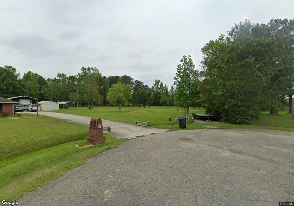
39 W Robin Ln Picayune, MS 39466
Estimated Value: $158,758 - $300,000
Studio
--
Bath
1,710
Sq Ft
$138/Sq Ft
Est. Value
About This Home
This home is located at 39 W Robin Ln, Picayune, MS 39466 and is currently estimated at $235,440, approximately $137 per square foot. 39 W Robin Ln is a home with nearby schools including Picayune Junior High School, Picayune Memorial High School, and Heritage Christian Academy.
Ownership History
Date
Name
Owned For
Owner Type
Purchase Details
Closed on
Apr 29, 2024
Sold by
Flom Michael and Flom Roxanne M
Bought by
Flom Michael
Current Estimated Value
Home Financials for this Owner
Home Financials are based on the most recent Mortgage that was taken out on this home.
Original Mortgage
$204,517
Outstanding Balance
$193,714
Interest Rate
0.69%
Mortgage Type
Construction
Estimated Equity
$41,726
Purchase Details
Closed on
Dec 10, 2010
Sold by
Bbarajas Evangelina Gutierreez
Bought by
Barajas Juan
Create a Home Valuation Report for This Property
The Home Valuation Report is an in-depth analysis detailing your home's value as well as a comparison with similar homes in the area
Purchase History
| Date | Buyer | Sale Price | Title Company |
|---|---|---|---|
| Flom Michael | $206,562 | Amrock Inc | |
| Barajas Juan | -- | -- |
Source: Public Records
Mortgage History
| Date | Status | Borrower | Loan Amount |
|---|---|---|---|
| Open | Flom Michael | $204,517 |
Source: Public Records
Tax History
| Year | Tax Paid | Tax Assessment Tax Assessment Total Assessment is a certain percentage of the fair market value that is determined by local assessors to be the total taxable value of land and additions on the property. | Land | Improvement |
|---|---|---|---|---|
| 2025 | $1,415 | $14,640 | $0 | $0 |
| 2024 | $1,415 | $3,000 | $0 | $0 |
| 2023 | $351 | $3,000 | $0 | $0 |
| 2022 | $367 | $3,000 | $0 | $0 |
| 2021 | $367 | $3,000 | $0 | $0 |
| 2020 | $363 | $3,000 | $0 | $0 |
| 2019 | $362 | $3,000 | $0 | $0 |
| 2018 | $363 | $3,000 | $0 | $0 |
| 2017 | $0 | $3,000 | $0 | $0 |
| 2016 | $364 | $3,000 | $0 | $0 |
| 2015 | -- | $3,000 | $0 | $0 |
| 2014 | -- | $3,000 | $0 | $0 |
Source: Public Records
Map
Nearby Homes
- 76 Otis Stewart Rd
- 3520 Mississippi 43 N
- 396 Liberty Rd
- 446 Liberty Rd
- 11 Wanna Be Ln
- 20 Timberlane Rd
- 131 Hampton Rd
- 0 Smith Rd Unit 2540514
- 48 Smith Rd
- 00 Jericho Ridge Tract 1
- 00 Smith Rd
- 138 Essex Ct
- 130 Browning Cir
- 119 Browning Cir
- 117 Browning Cir
- NHN Arrowhead Dr
- 22 Jeremiah Ln
- 185 Westchester Dr
- 123 Tennyson Cove
- 321 Lake David Dr
- 37 W Robin Ln
- 130 Otis Stewart Rd
- 38 W Robin Ln
- 25 Eagle Heights Dr
- 15 Eagle Heights Dr
- 23 Eagle Heights Dr
- 152 Otis Stewart Rd
- 29 W Robin Ln
- 5 Eagle Heights Dr
- 34 W Robin Ln
- 29 Falcon Dr
- 5 Dumas Bailey Rd
- 33 Eagle Heights Dr
- 162 Otis Stewart Rd
- 24 Eagle Heights Dr
- 0 Otis Steward Rd
- 0 Otis Stewart Rd
- 24 W Robin Ln
- 4 Eagle Heights Dr
- 28 Eagle Heights Dr
Your Personal Tour Guide
Ask me questions while you tour the home.