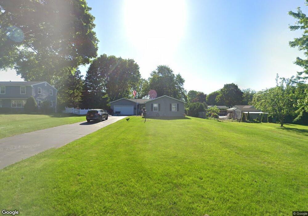
39 Wheatstone Cir Fairport, NY 14450
Estimated Value: $295,270 - $324,000
3
Beds
1
Bath
1,192
Sq Ft
$262/Sq Ft
Est. Value
About This Home
This home is located at 39 Wheatstone Cir, Fairport, NY 14450 and is currently estimated at $312,568, approximately $262 per square foot. 39 Wheatstone Cir is a home located in Monroe County with nearby schools including Jefferson Avenue Elementary School, Johanna Perrin Middle School, and Minerva Deland School.
Ownership History
Date
Name
Owned For
Owner Type
Purchase Details
Closed on
Apr 29, 1999
Sold by
Haingray Raymond G and Haingray Judith A
Bought by
Walker Krista M
Current Estimated Value
Purchase Details
Closed on
Nov 4, 1994
Sold by
Wade Susan J
Bought by
Haingray Raymond G and Haingray Judi
Create a Home Valuation Report for This Property
The Home Valuation Report is an in-depth analysis detailing your home's value as well as a comparison with similar homes in the area
Home Values in the Area
Average Home Value in this Area
Purchase History
| Date | Buyer | Sale Price | Title Company |
|---|---|---|---|
| Walker Krista M | $108,000 | -- | |
| Walker Krista M | -- | Fox Donald | |
| Haingray Raymond G | $106,900 | -- |
Source: Public Records
Tax History Compared to Growth
Tax History
| Year | Tax Paid | Tax Assessment Tax Assessment Total Assessment is a certain percentage of the fair market value that is determined by local assessors to be the total taxable value of land and additions on the property. | Land | Improvement |
|---|---|---|---|---|
| 2024 | $5,210 | $143,300 | $43,400 | $99,900 |
| 2023 | $4,986 | $143,300 | $43,400 | $99,900 |
| 2022 | $5,392 | $143,300 | $43,400 | $99,900 |
| 2021 | $5,374 | $143,300 | $43,400 | $99,900 |
| 2020 | $4,589 | $143,300 | $43,400 | $99,900 |
| 2019 | $6,781 | $143,300 | $43,400 | $99,900 |
| 2018 | $7,163 | $143,300 | $43,400 | $99,900 |
| 2017 | $2,471 | $132,700 | $43,400 | $89,300 |
| 2016 | $6,781 | $132,700 | $43,400 | $89,300 |
| 2015 | -- | $132,700 | $43,400 | $89,300 |
| 2014 | -- | $132,700 | $43,400 | $89,300 |
Source: Public Records
Map
Nearby Homes
- 603 Watson Rd
- 15 Whitney Farms Cir
- 19 Homestead Dr
- 1331 Whitney Rd E
- 255 Watson Rd
- 12 Deland Park A
- 79 Saint Andrews Blvd
- 9 Killeen Dr
- 70 High St
- 3 Acadian Rise
- 30 Cali Ridge
- 2 Cherrymede Crescent
- 2 Foxpointe Cir
- 5 New Wickham Dr
- 139 Balmoral Dr
- 86 Broxbourne Dr
- 10 Lonesome Rd
- 3 Packetts Glen
- 105 Packetts Glen
- 18 Ashby Cir
- 41 Wheatstone Cir
- 4 Farment Dr
- 549 Watson Rd
- 43 Wheatstone Cir
- 541 Watson Rd
- 2 Farment Dr
- 38 Wheatstone Cir
- 40 Wheatstone Cir
- 533 Watson Rd
- 36 Wheatstone Cir
- 42 Wheatstone Cir
- 45 Wheatstone Cir
- 34 Wheatstone Cir
- 44 Wheatstone Cir
- 31 Wheatstone Cir
- 525 Watson Rd
- 565 Watson Rd
- 47 Wheatstone Cir
- 42 Buckwheat Dr
- 32 Wheatstone Cir