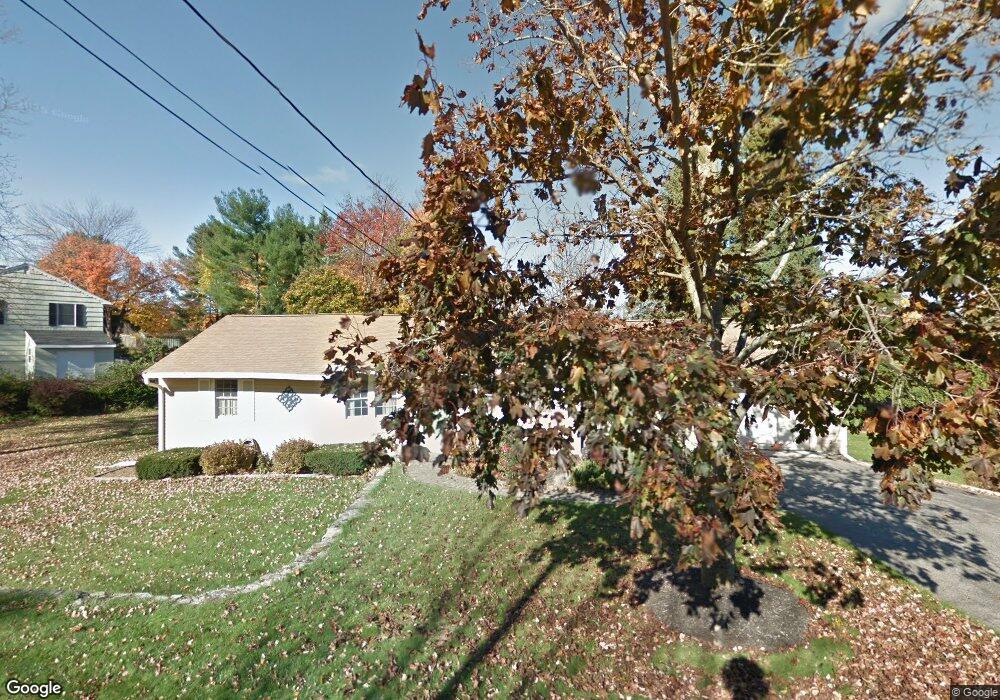
39 Yorktown Rd West Boylston, MA 01583
Estimated Value: $508,000 - $534,000
3
Beds
2
Baths
1,225
Sq Ft
$423/Sq Ft
Est. Value
About This Home
This home is located at 39 Yorktown Rd, West Boylston, MA 01583 and is currently estimated at $517,745, approximately $422 per square foot. 39 Yorktown Rd is a home located in Worcester County with nearby schools including Major Edwards Elementary School, West Boylston Junior/Senior High School, and Abby Kelley Foster Charter Public School.
Ownership History
Date
Name
Owned For
Owner Type
Purchase Details
Closed on
Nov 17, 2004
Sold by
Smith David A and Smith Joyce A
Bought by
Difronzo Michele D
Current Estimated Value
Home Financials for this Owner
Home Financials are based on the most recent Mortgage that was taken out on this home.
Original Mortgage
$255,920
Outstanding Balance
$127,883
Interest Rate
5.8%
Mortgage Type
Purchase Money Mortgage
Estimated Equity
$389,862
Create a Home Valuation Report for This Property
The Home Valuation Report is an in-depth analysis detailing your home's value as well as a comparison with similar homes in the area
Home Values in the Area
Average Home Value in this Area
Purchase History
| Date | Buyer | Sale Price | Title Company |
|---|---|---|---|
| Difronzo Michele D | $319,900 | -- |
Source: Public Records
Mortgage History
| Date | Status | Borrower | Loan Amount |
|---|---|---|---|
| Open | Difronzo Michele D | $255,920 |
Source: Public Records
Tax History Compared to Growth
Tax History
| Year | Tax Paid | Tax Assessment Tax Assessment Total Assessment is a certain percentage of the fair market value that is determined by local assessors to be the total taxable value of land and additions on the property. | Land | Improvement |
|---|---|---|---|---|
| 2025 | $63 | $453,300 | $102,500 | $350,800 |
| 2024 | $6,147 | $415,900 | $102,500 | $313,400 |
| 2023 | $6,020 | $386,400 | $101,700 | $284,700 |
| 2022 | $5,665 | $320,400 | $101,700 | $218,700 |
| 2021 | $5,508 | $298,400 | $98,400 | $200,000 |
| 2020 | $5,394 | $290,300 | $98,400 | $191,900 |
| 2019 | $5,056 | $268,200 | $98,400 | $169,800 |
| 2018 | $4,828 | $257,900 | $98,400 | $159,500 |
| 2017 | $4,296 | $228,500 | $98,400 | $130,100 |
| 2016 | $4,208 | $228,100 | $91,800 | $136,300 |
| 2015 | $4,029 | $219,700 | $90,900 | $128,800 |
Source: Public Records
Map
Nearby Homes
- 1 Highland Ave
- 39 Davidson Rd
- 12 Birchbrush Ln
- 740 Burncoat St Unit B
- 62 Maple St
- 33 Meola Ave
- 39 Meola Ave
- 156 Hillside Village Dr
- 54 Maple St
- 33 Isleboro St
- 29 Isleboro St
- 1110 W Boylston St Unit A
- 1097 W Boylston St
- 83 Hillside Village Dr
- 97 Hillside Village Dr
- 59 Santoro Rd
- 152 Worcester St Unit 8
- 44 Dixfield St
- 22 Danielles Way
- 26 Danielles Way
- 33 Kings Mountain Dr
- 35 Yorktown Rd
- 27 Kings Mountain Dr
- 38 Yorktown Rd
- 48 Yorktown Rd
- 36 Yorktown Rd
- 37 Kings Mountain Dr
- 31 Yorktown Rd
- 50 Yorktown Rd
- 32 Yorktown Rd
- 34 Kings Mountain Dr
- 30 Kings Mountain Dr
- 39 Kings Mountain Dr
- 22 Kings Mountain Dr
- 27 Yorktown Rd
- 25 Kings Mountain Dr
- 28 Yorktown Rd
- 38 Kings Mountain Dr
- 19 Fort Niagara Dr
- 20 Kings Mountain Dr